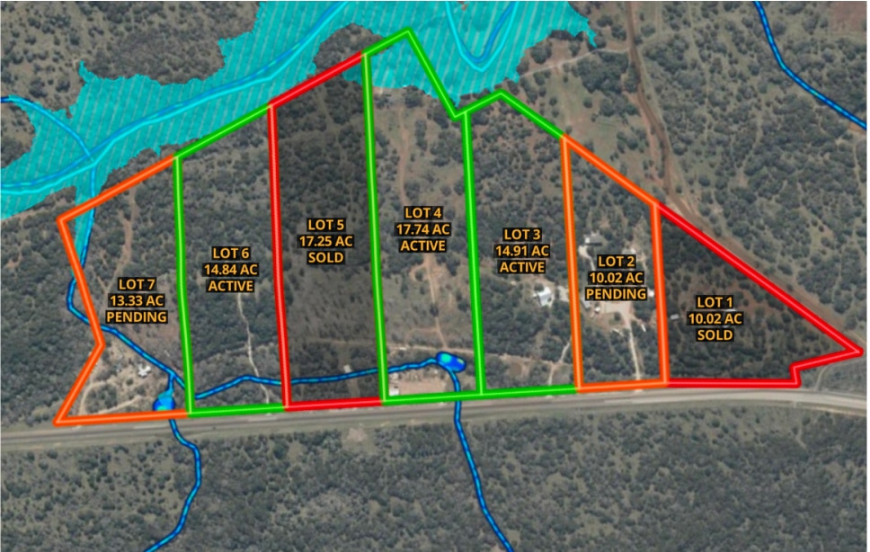
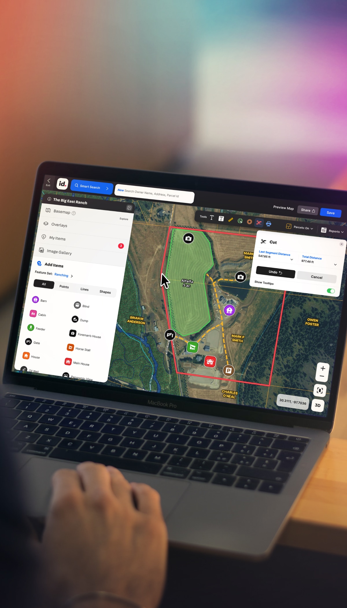
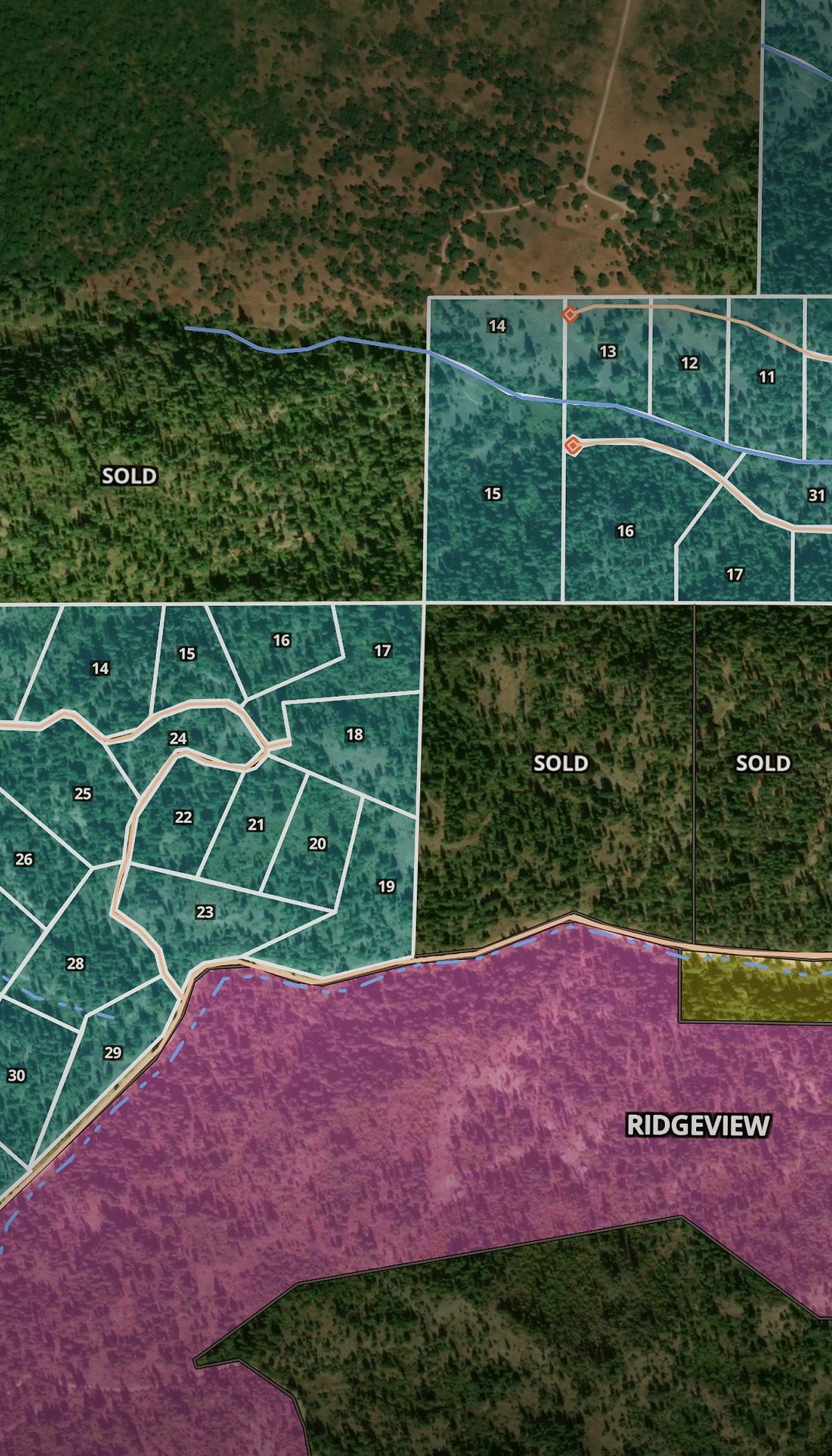
/
Property Development

One Platform for the Property Development Workflow

From feasibility to final lot sale, Land id helps land developers qualify properties quickly, pitch with confidence, communicate complex data clearly, and get projects over the finish line.

Prospect. Qualify.
Plan. Build.

Information and data drive revenue. But the more tools you juggle, the more time you spend managing your process instead of working deals. Land id combines property development mapping software, powerful site analysis tools, and streamlined project communication so development teams can qualify opportunities faster and keep projects moving.

Cut Preliminary Planning Time & Costs

By consolidating property data, mapping, and site analysis tools, Land id saves time, cuts costs, and enables confident go/no-go decision-making.

Cut Days Off Property Qualification Time

Make go/no-go decisions in a fraction of the time. Understand and measure buildable areas data on floodplains, elevation, easements, access, and other potential deal makers—or breakers.

Estimate Costs & Plan Projects

Get a clear view of constraints and costs. Cut parcels and measure buffer zones to test scenarios, analyze frontage and parcel depth, and estimate infrastructure costs.

Pitch Better. Move Faster. 

Whether it’s for a private investor, land owner, or county commission, Land id Property Tours, maps, and reports help you make a stronger case than spreadsheets and photos alone.

Track Developments in Your Market

In Land id, you can visually track opportunities, holdings, and active and closed projects to understand activity, data, and competitors, fast. It's the ultimate visual CRM.

The #1 Property Development Mapping Software

Features To Help You Work & Grow Your Business

Property developers use Land id’s advanced mapping and data tools to communicate with stakeholders and get work done faster. Cut properties to preview ROI, measure buffer zones to identify constraints, and toggle on data layers for faster site analysis—so you know what you’re getting into.

Measure Precisely for Better Planning

Eliminate eyeballing and guesswork with easy-to-use measurement tools. Draw shapes, create land boundaries, and precisely measure anything to estimate costs and plan smarter.

Learn More

Show Context With 40+ Data Layers

Toggle on flood zones, soil types, transmission lines, fiber optic service, water access, and more. Up-to-date data across 40+ overlays, so every decision has the full picture behind it.

Learn More

Overlay Site Plans & Surveys on Any Map

Align any site plan, survey, or image to its exact location. See how your documents line up against boundaries, overlays, and surrounding parcels.

Learn More

Work From Your Desktop or Live in the Field

Research properties at your desk, verify boundaries on your phone, and walk property lines with live GPS tracking that shows exactly where you are on the map. Land id works where you do.

Learn More

Mapping Software for Property Development

A Platform That Delivers for Every Property Developer

Land id handles the full range of property development use cases, giving residential, commercial, and agricultural developers the data layers, mapping tools, and shareable reports that serious work demands. Map your entire prospect pipeline as a visual CRM with custom tags and status attributes, cut days off due diligence, and estimate costs in one place.

Residential

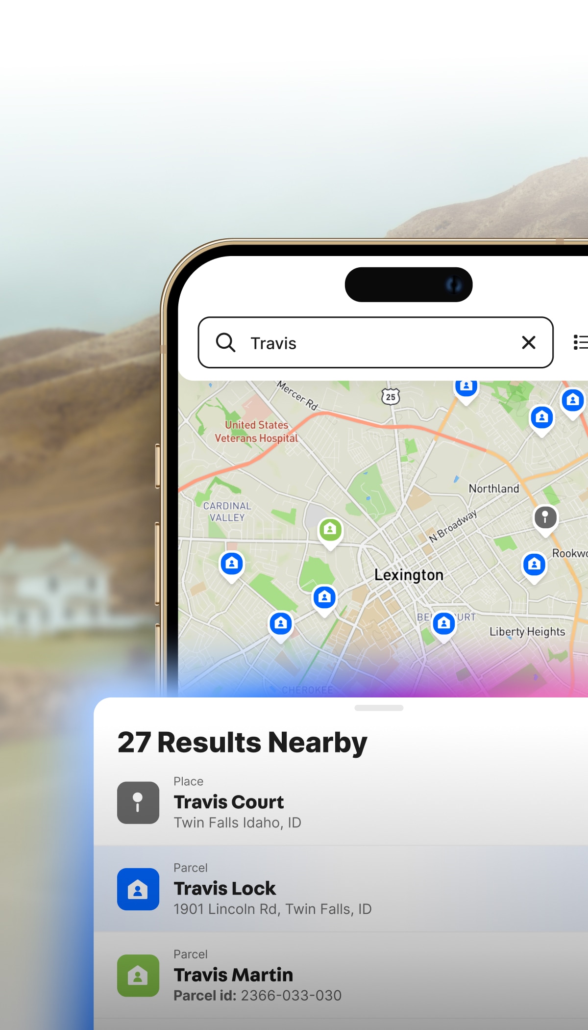
Find, qualify, and subdivide parcels into profitable lots.

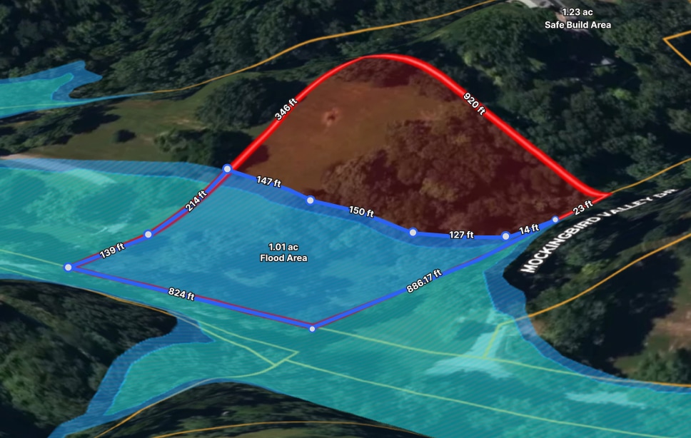
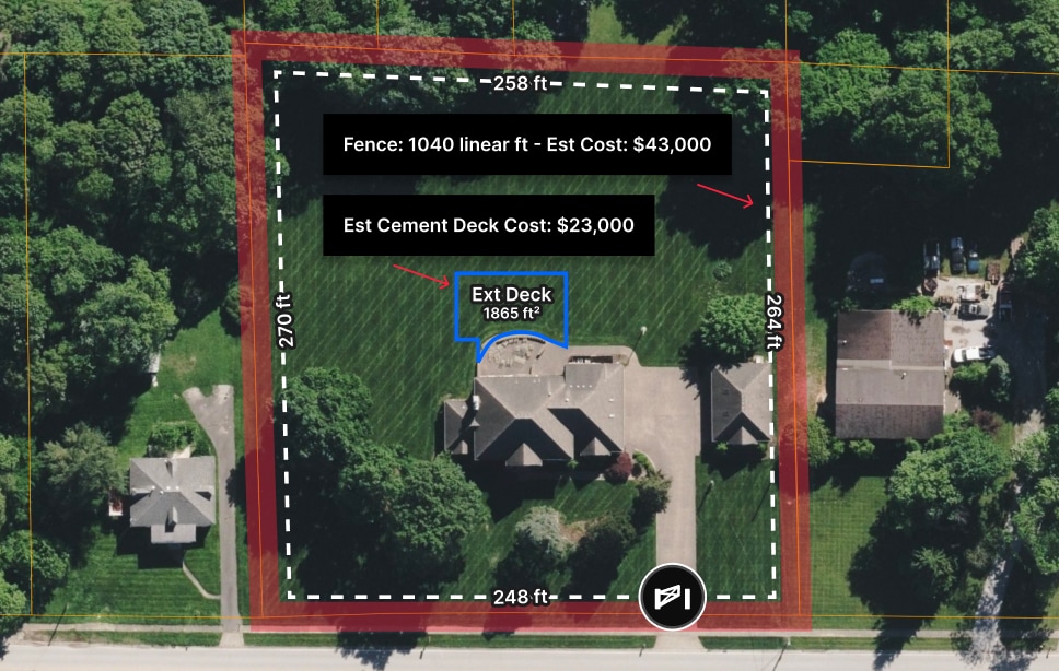
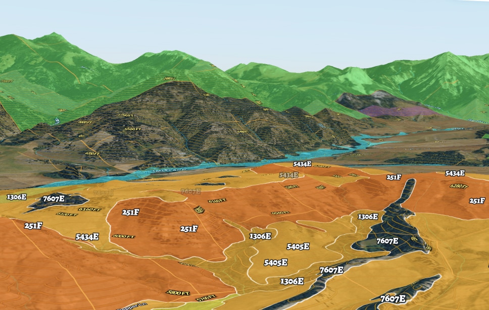
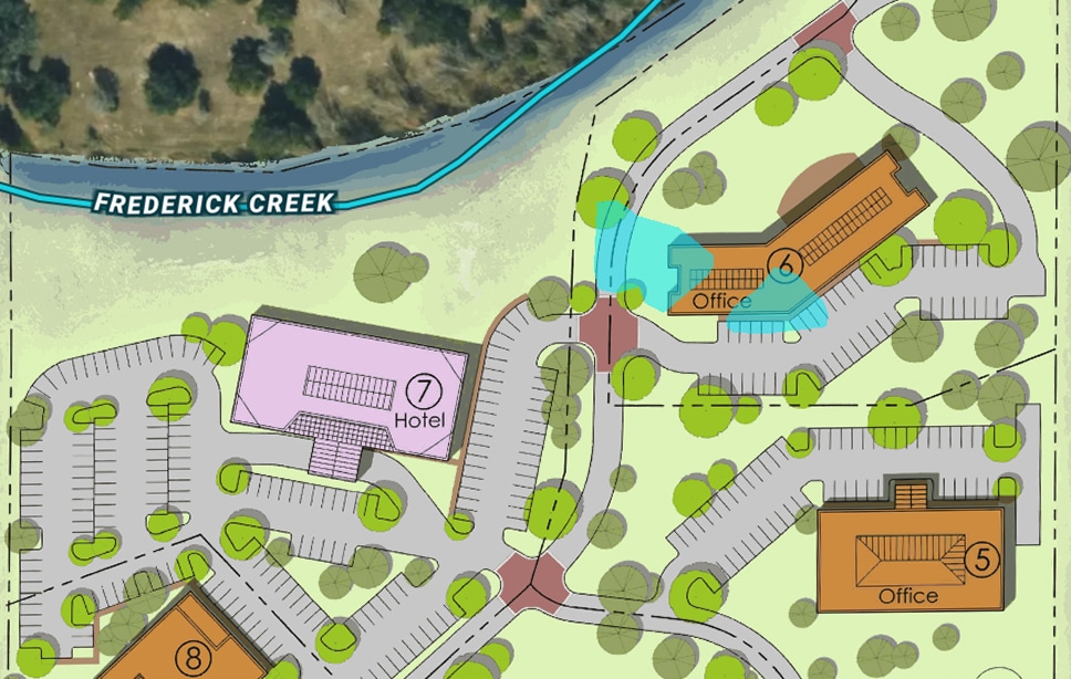
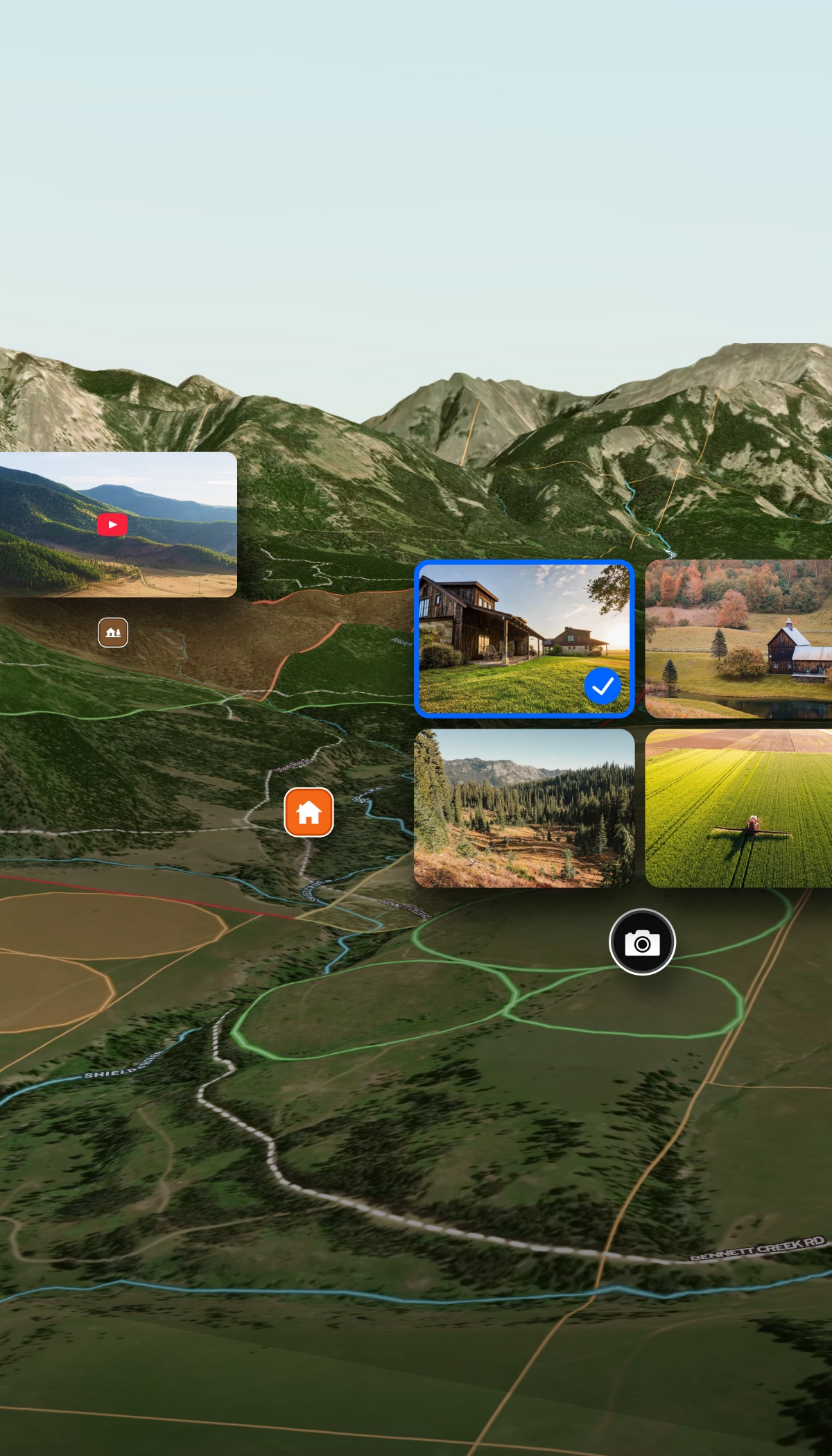
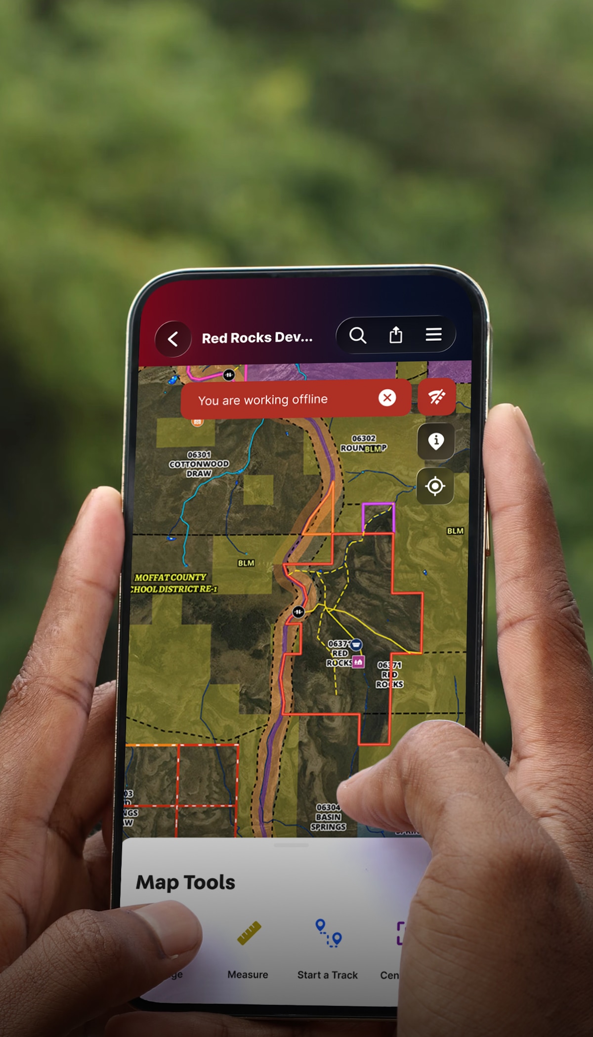
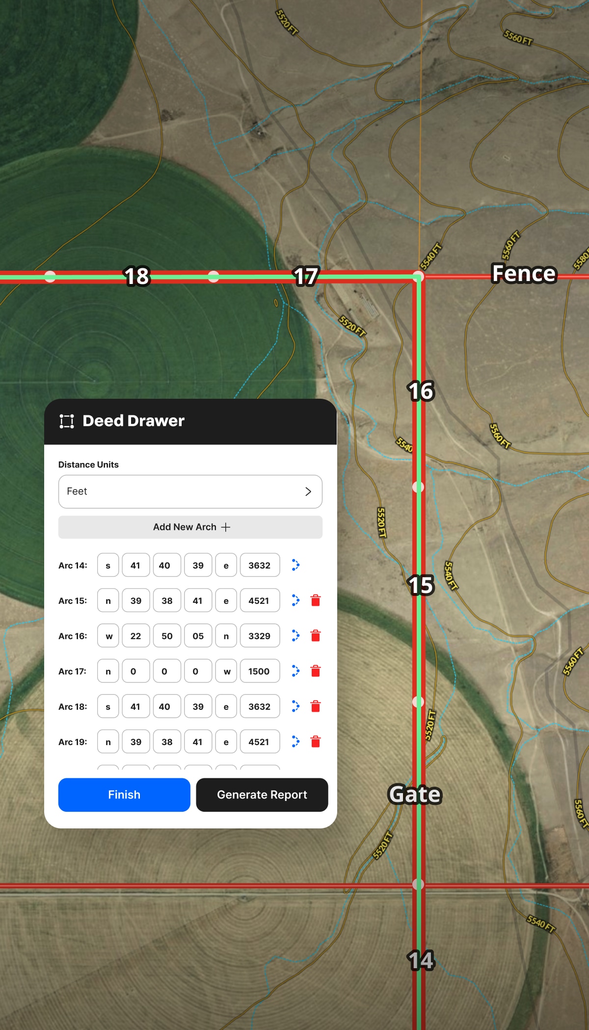
  • Sketch preliminary lot divisions without waiting on a surveyor.
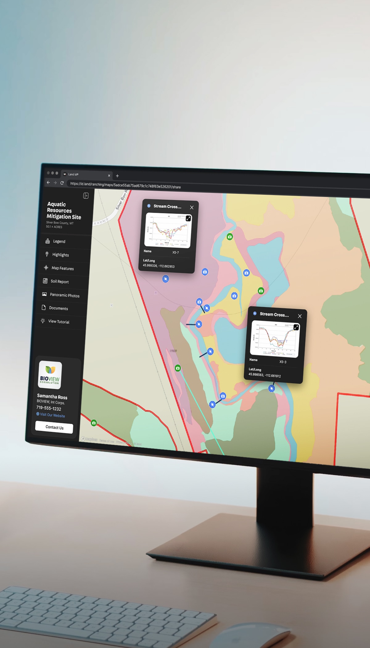
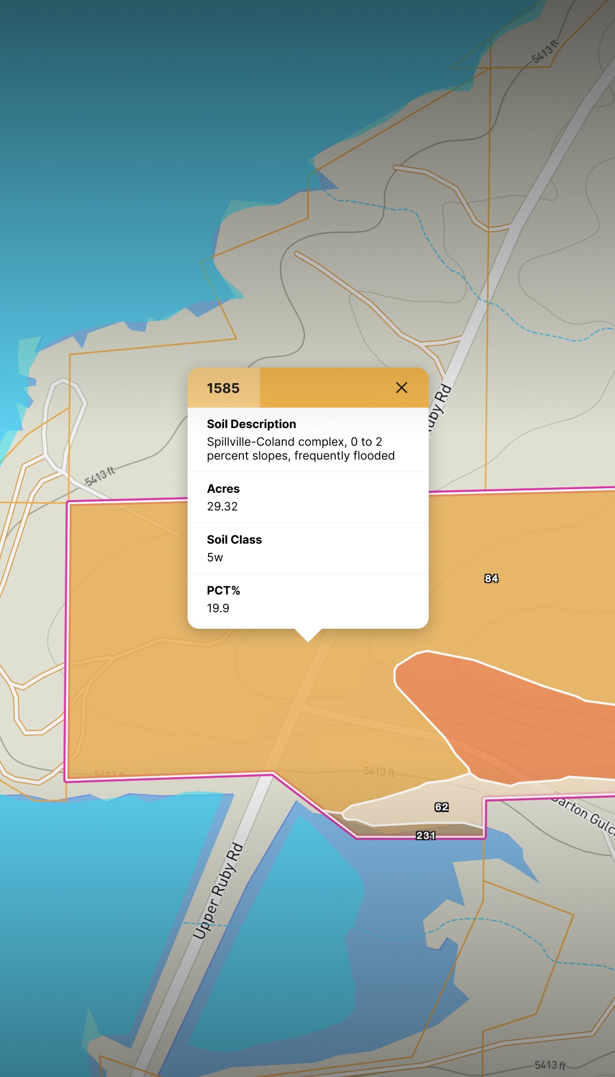
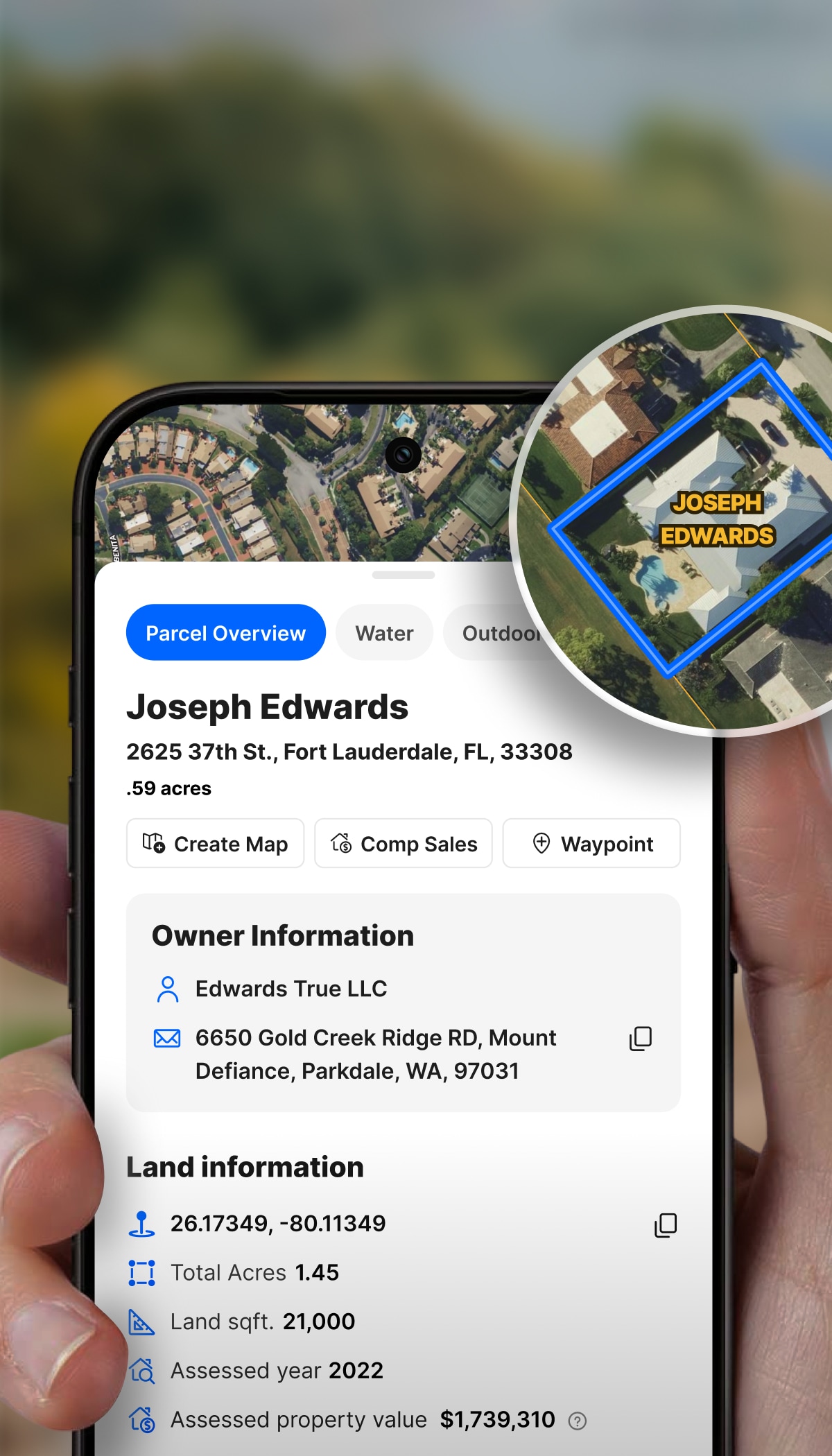
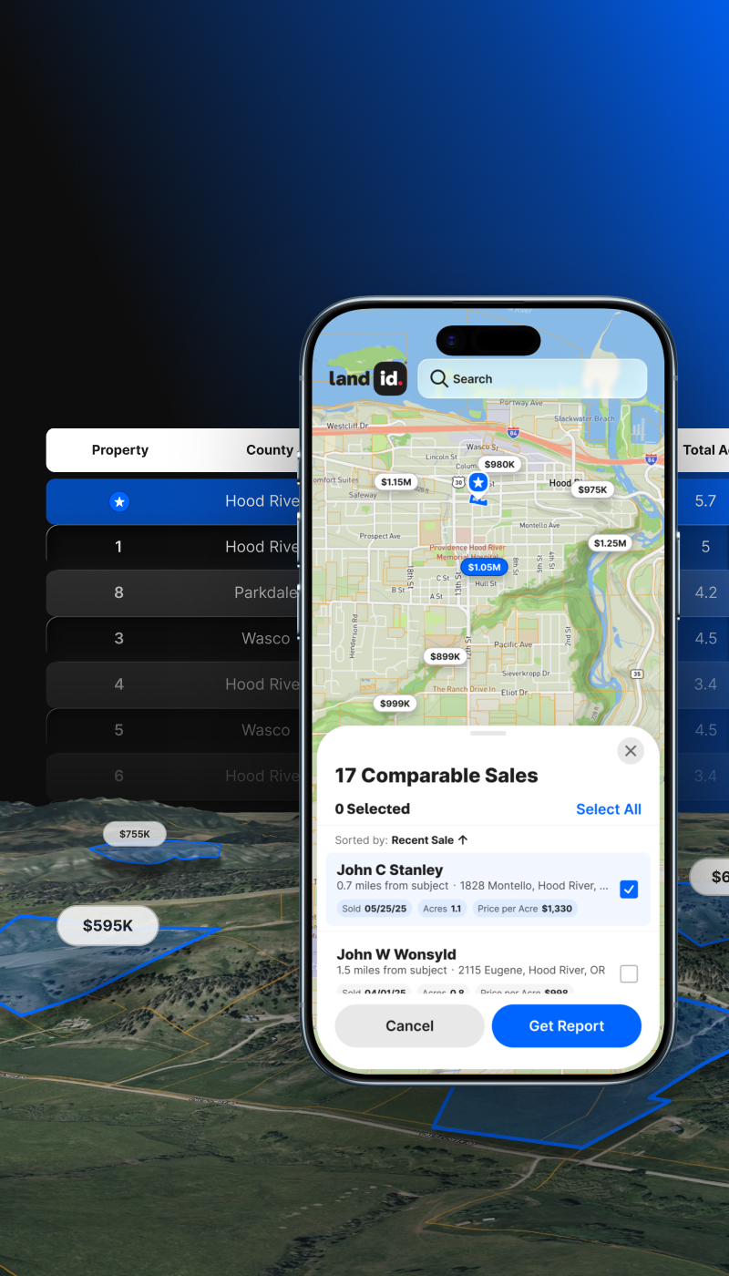
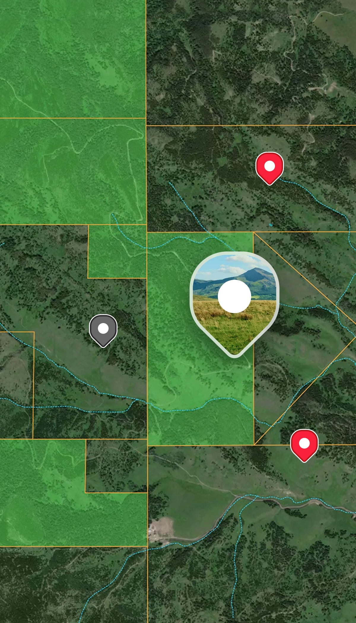
  • Pre-qualify properties with floodplain, wetland, slope, and soil data.
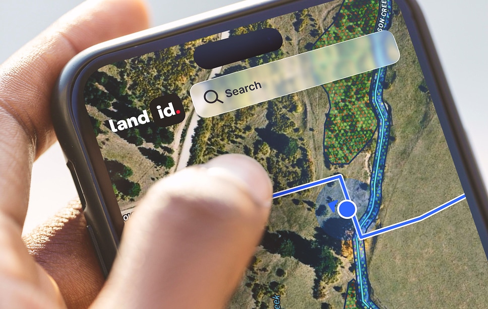
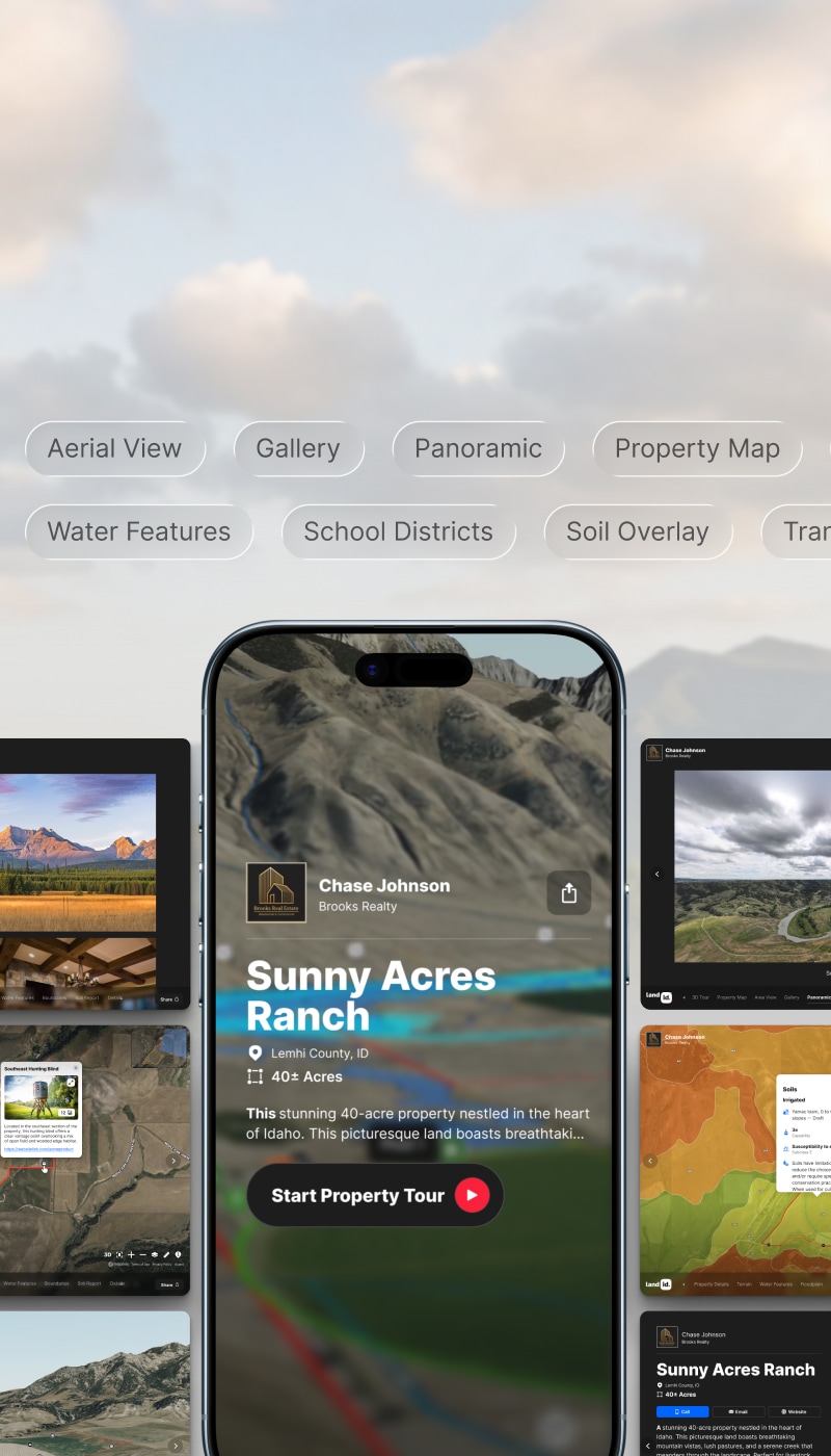
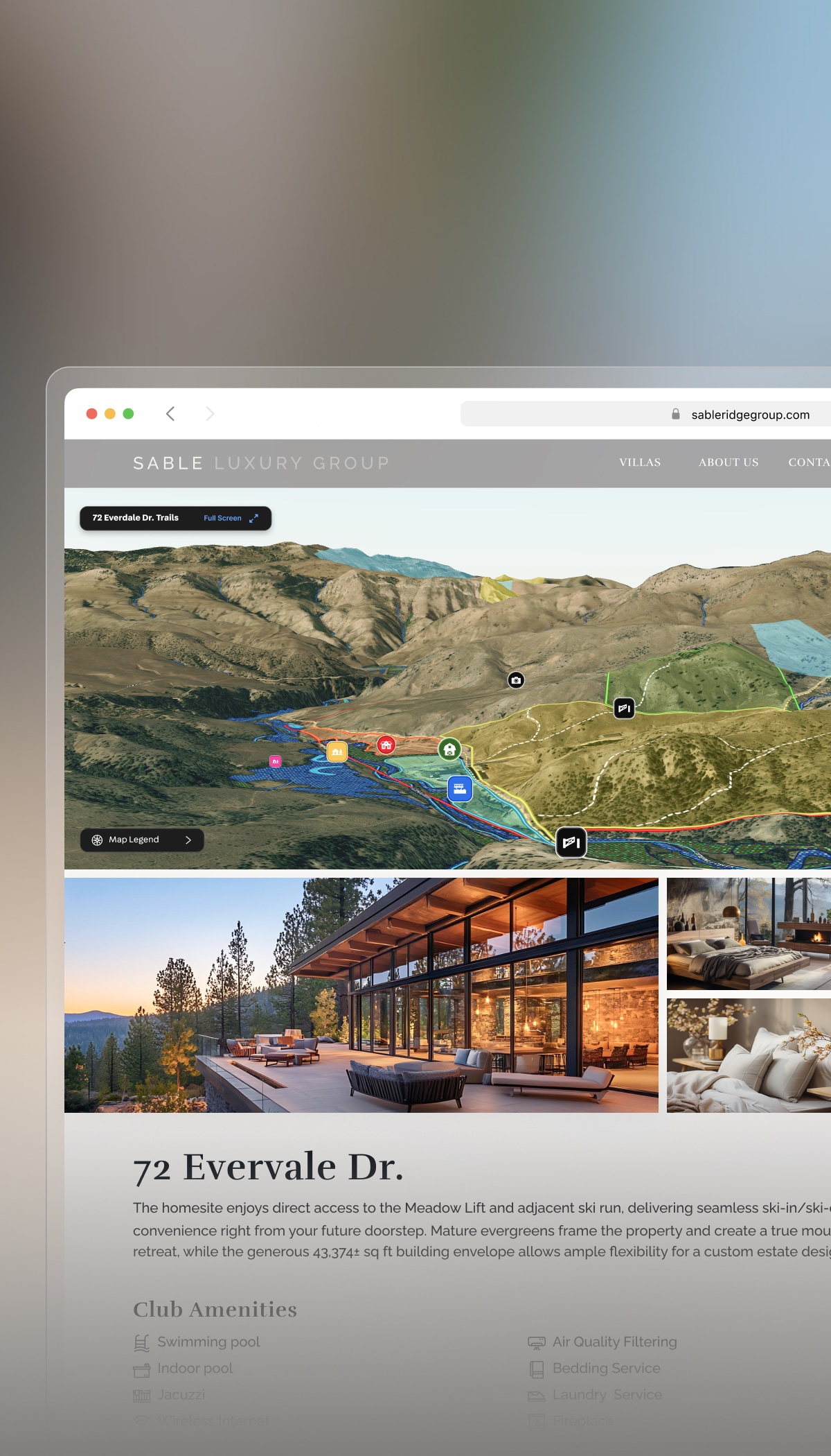
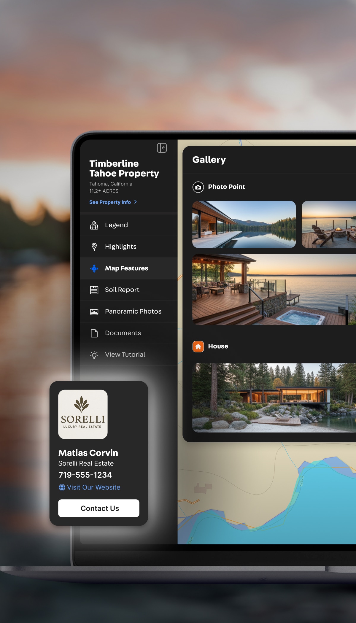
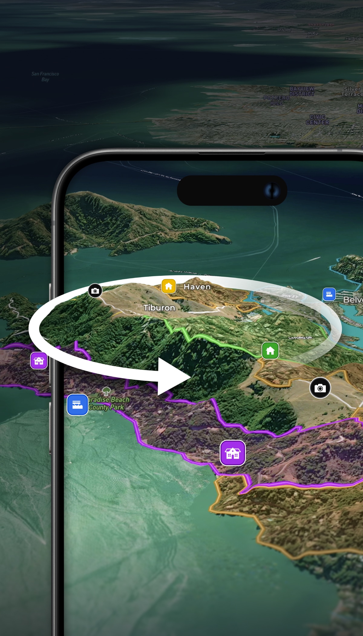
  • Market new subdivisions with engaging maps and Land id Property Tours.

Commercial & Industrial

Evaluate and plan commercial development.

  • Layer transmission lines, land use, road access, and terrain data to assess feasibility.
  • Overlay your own site plans and visualize the full property picture.
  • Create polished, shareable maps for presentations.

Farming & Agriculture

Plan and develop agricultural land with better data.

  • Use soil reports, FSA fields, and high-res contours to evaluate productivity, drainage, and buildable areas.
  • Map infrastructure improvements directly on your parcel.
  • Share maps to support planning.

More Resources

Land id® Maps: A Homebuilder's Ultimate Tool for Development

Homebuilders are constantly seeking innovative tools that will help them identify and evaluate potential properties for future development. Land id® is a revolutionary and versatile land-mapping product that developers like Hurdle Land & Realty are currently leveraging...

Finding the Ideal Location With Geospatial Technology

The area a home is located in determines a great deal for the people living there: where their kids can go to school, how long their commute is, what they do for entertainment… It’s no wonder that a 600 sq/ft. studio apartment in SoHo, New York can cost more than a 6-bedroom house in rural Indiana.

Due Diligence in Real Estate: Here's What You Need To Know

Master real estate due diligence with these essential steps and insights.

FAQs

How do property developers typically use Land id?

Can I use Land id to track a pipeline of potential development sites?

What kind of data layers are available in Land id?

Can I overlay a site plan or engineering drawing on a map?

Does Land id offer owner mailing lists to help with public notification requirements?