/
Appraisals

The Property Data Platform for Faster Appraisals

Access and print nationwide property data, mortgage records, and GIS overlays in one platform so you complete more appraisals, faster.

Create Appraisal Reports in Less Time

You don't have time to hunt across multiple platforms. Land id consolidates nationwide property data, mortgage records, GIS maps and overlays, and comparable sales reports into a single workspace. Pull what you need, print it, and move to the next report.

Built for Print Speed & Volume

Don’t lose valuable minutes waiting. Land id helps you pull and print comparable sales and parcel data to speed up appraisal report creation.

Print Report Imagery Without the Wait

Print aerial imagery, soil reports, topo maps, and floodplain overlays to support your appraisal documentation.

Pull Property Data in Seconds

Access property boundaries, ownership records, transaction history, and mortgage and lender data nationwide.

Pull Comparable Sales In One Place

Search comparable sales and create reports in-platform, or build and track your own proprietary comps database. Great for complex properties.

Build Your Prospecting Pipeline

See where loans originated and when they expire. Track properties by lender to time your outreach and reach new clients before your competition.

Trusted by Industry Pros

Make Appraisal Reports Faster

Features to Streamline the Appraisal Workflow

It’s easy to weave Land id into your appraisal creation workflow. Access property boundaries and ownership records nationwide. Verify contours and floodplains. Pull soil reports and comparable sales. Plot deed boundaries, build custom databases for prospecting, and print everything quickly.

Show Context With 40+ Data Layers

Toggle on flood zones, soil types, transmission lines, fiber optic service, water access, and more. Up-to-date data across 40+ overlays, so every decision has the full picture behind it.

Learn More

Nationwide Parcel Data in One Place

Owner, assessment, building info, acreage, and more, pulled up in seconds. Discover deep parcel data across cities, counties, and all 50 states in one platform.

Learn More

Build Custom Databases Quickly

Track the data you need in one place—from acquisitions to collateral to comparable sales. Visualize patterns across your data on the map, then share or export your work.

Learn More

Precision Deed Plotting at Your Fingertips

Paste in metes-and-bounds calls and watch the boundary take shape. Compare your deed plot against parcel lines and overlays in real time.

Learn More

Land id for Rural Appraisals

Rural Land Appraiser?
You’ll Love Land id.

Appraising farms, ranches, and recreational land requires specialized expertise, tools, and insights. Land id's land appraisal capabilities help you validate valuations, work in the field, and integrate with your existing software.

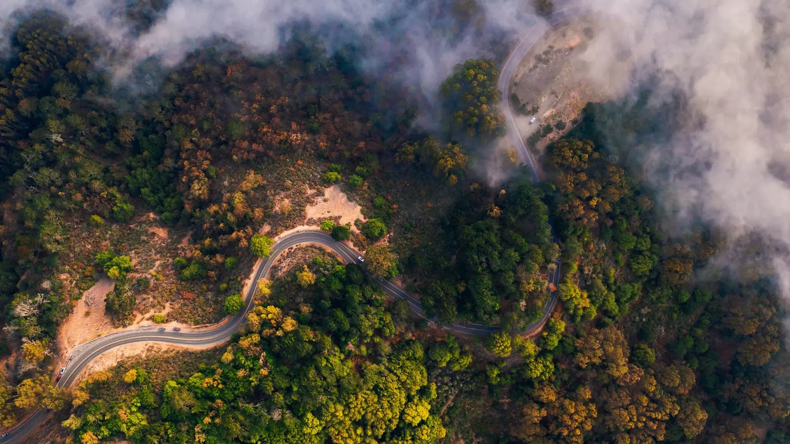
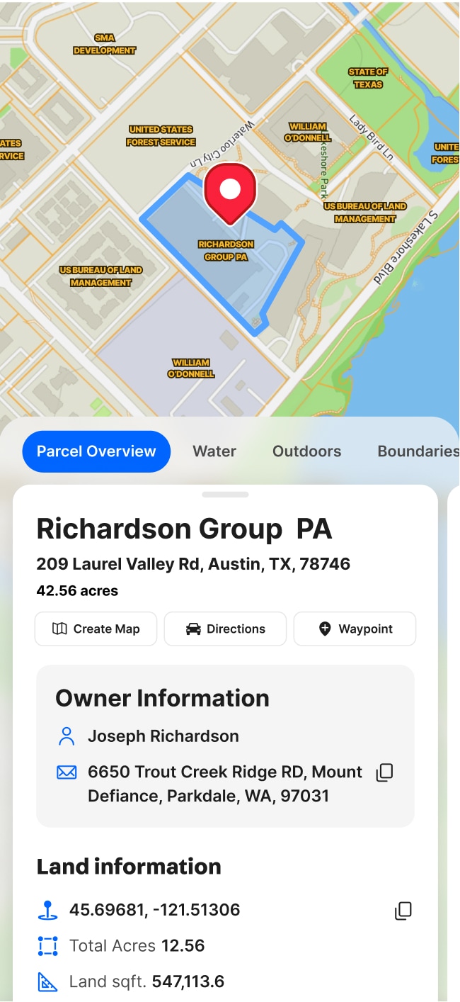
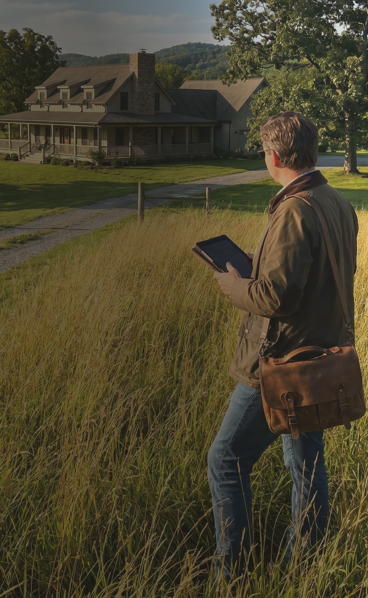
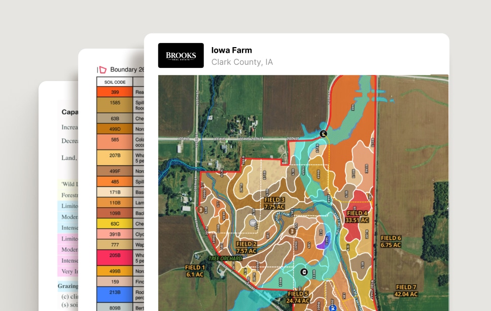
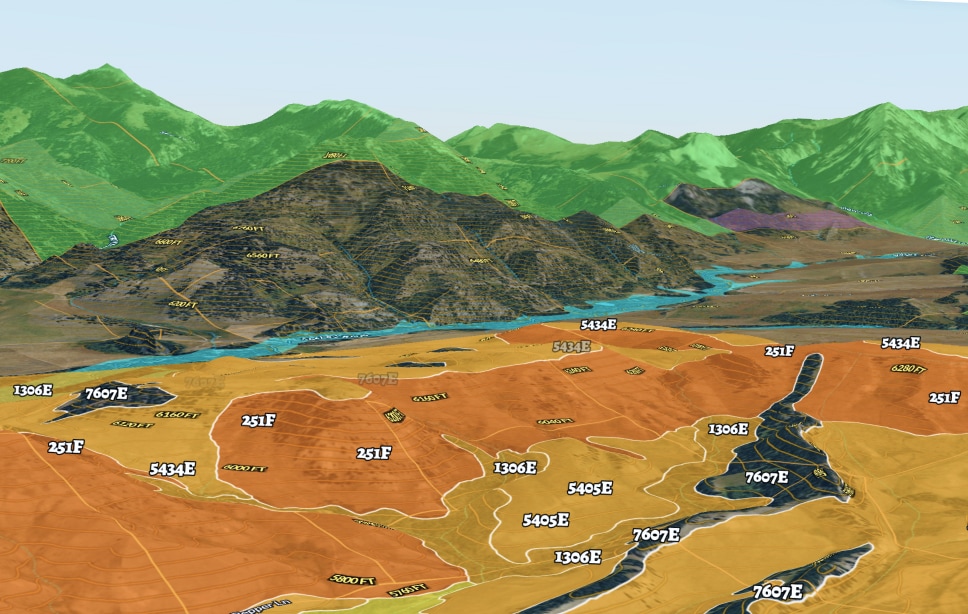
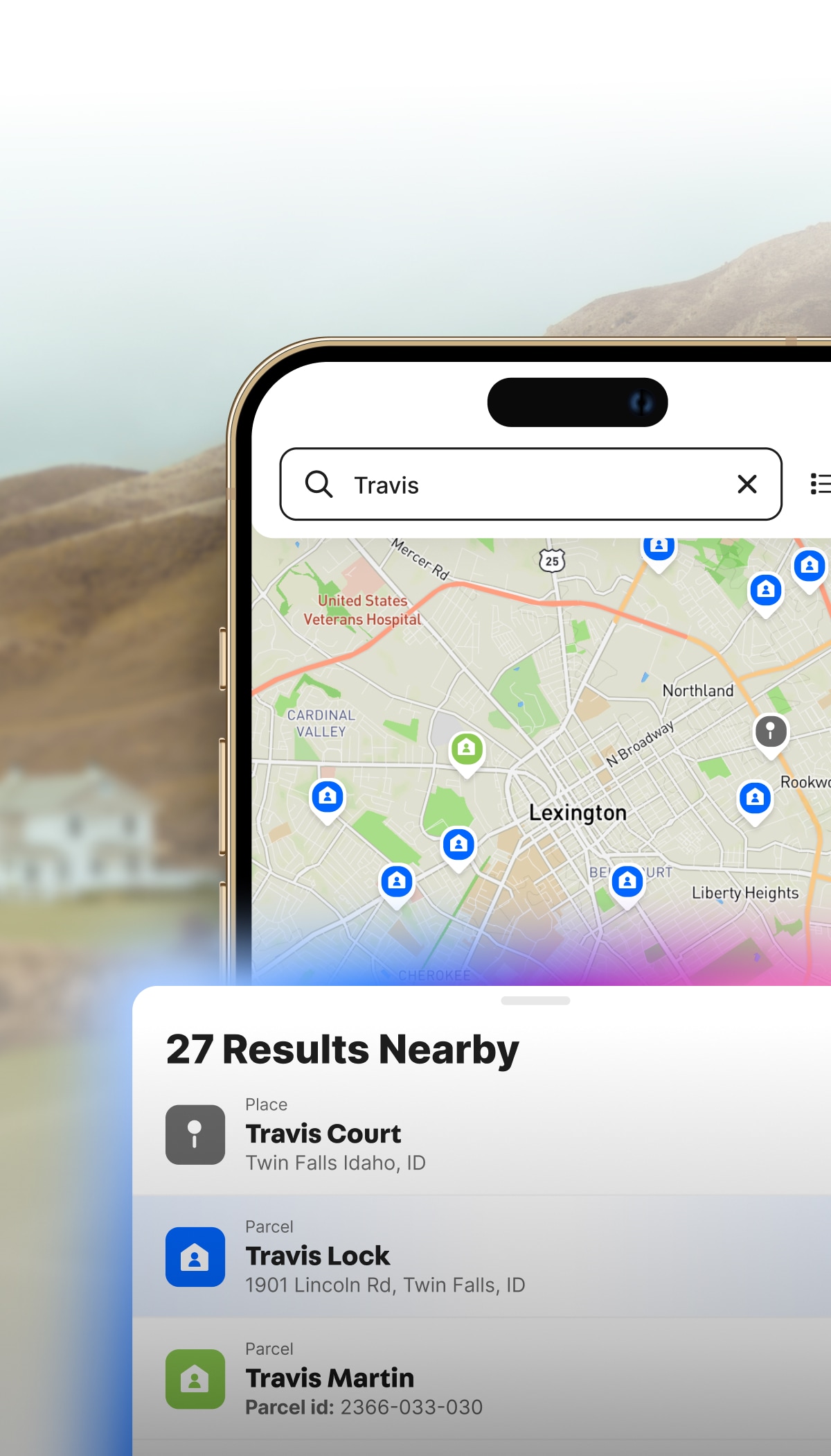
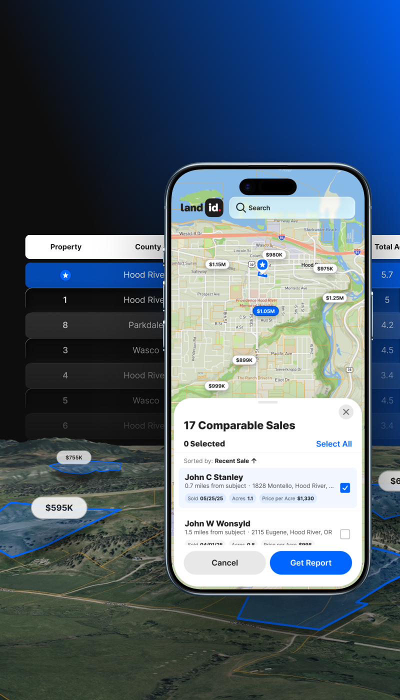
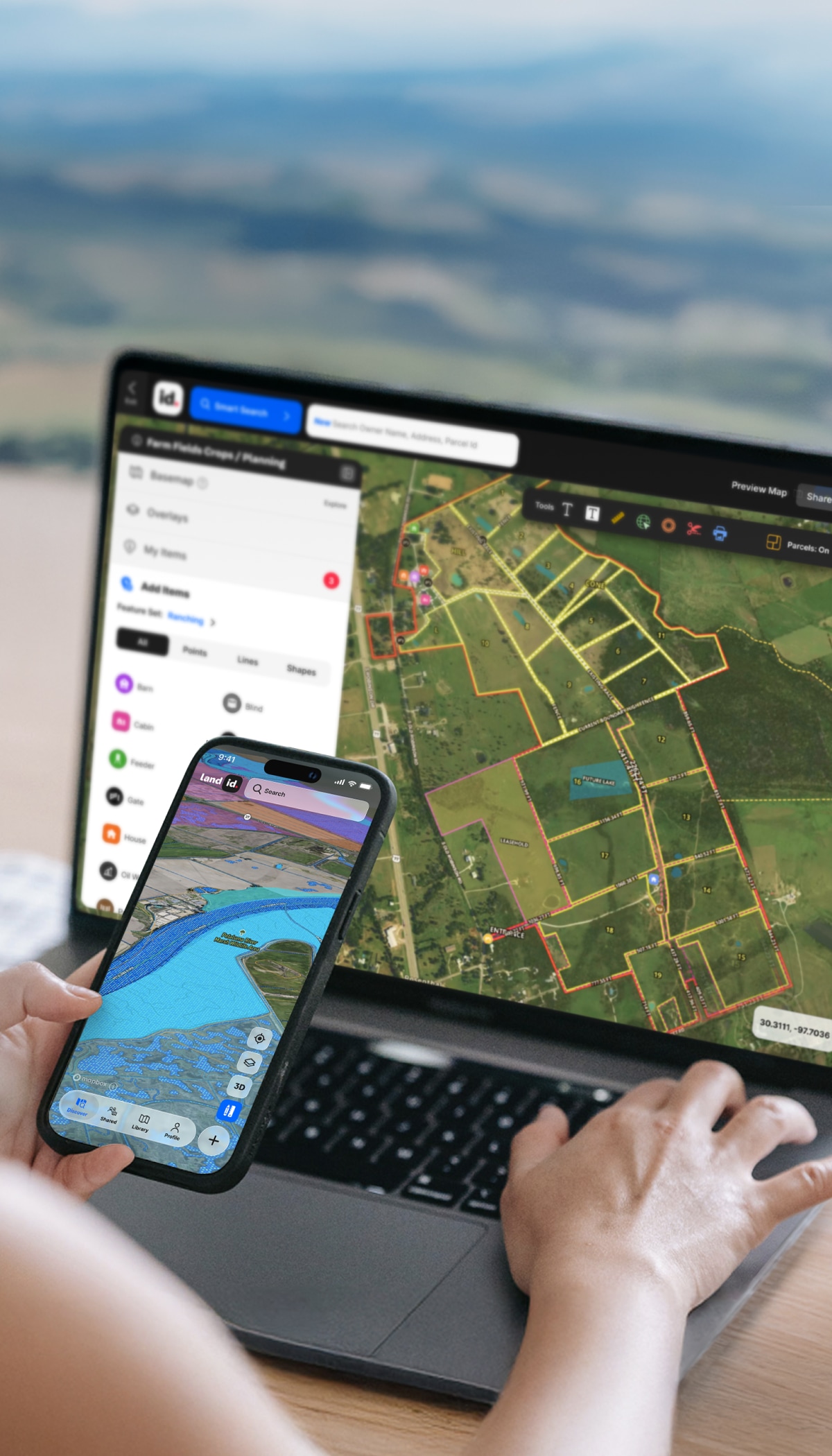
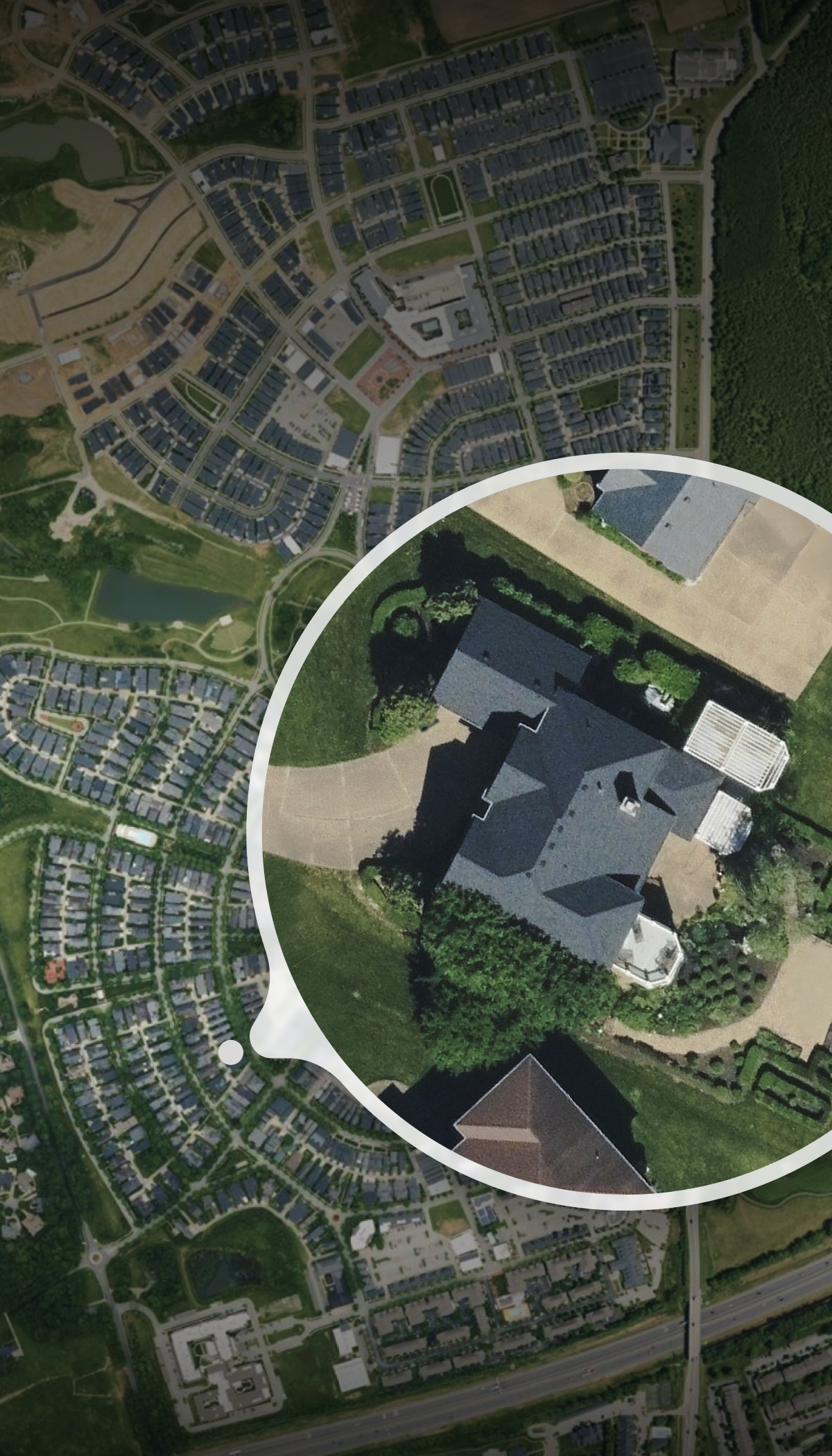
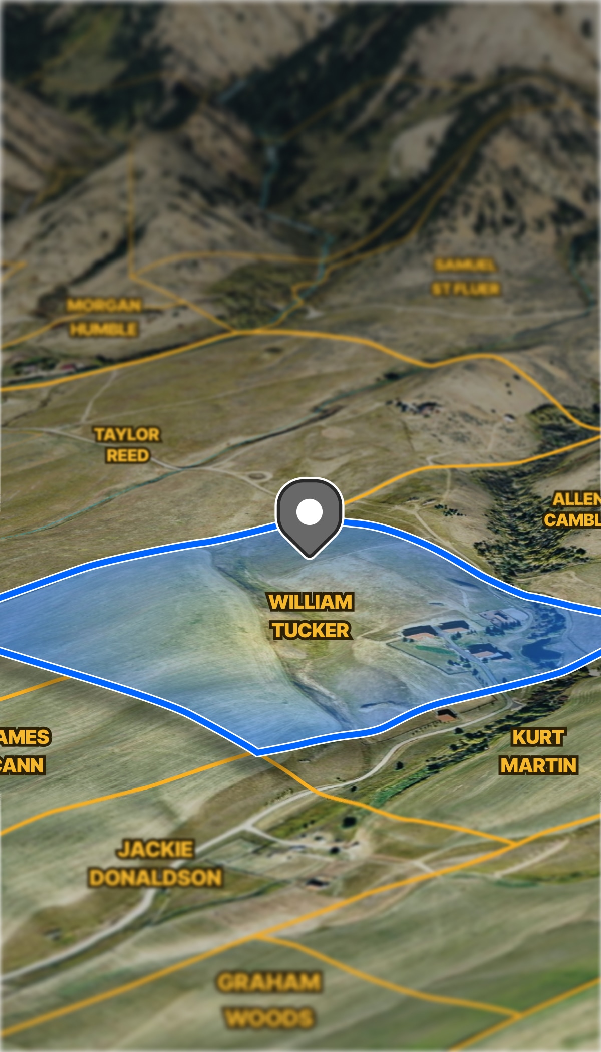
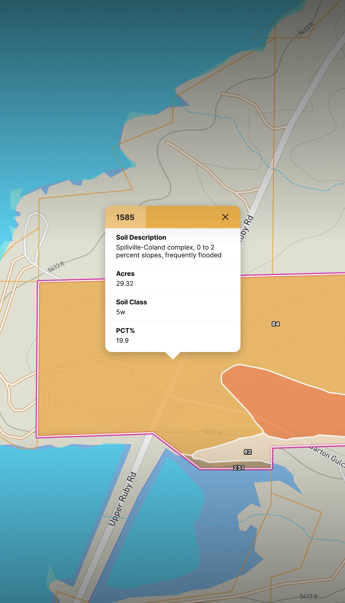
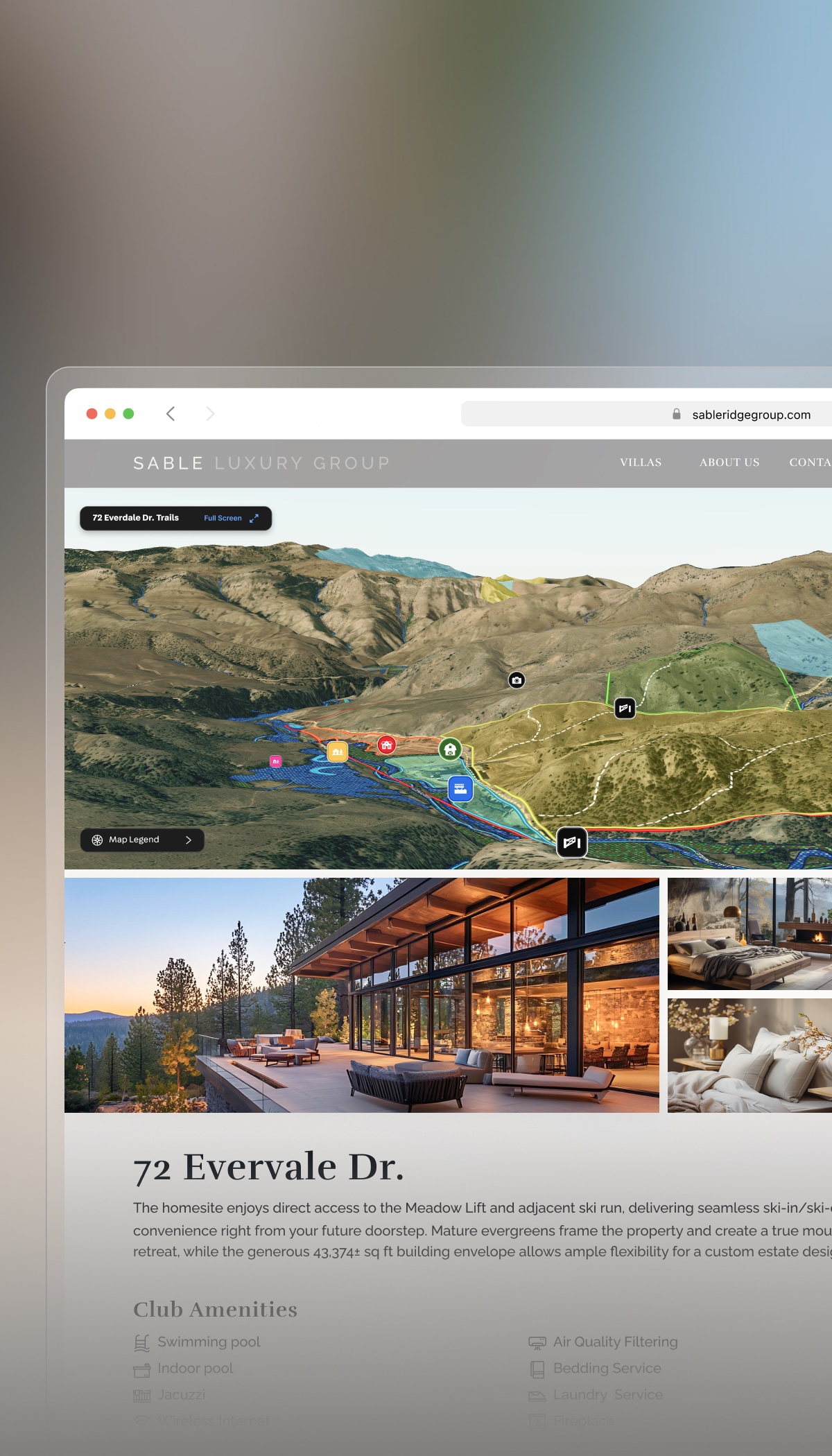
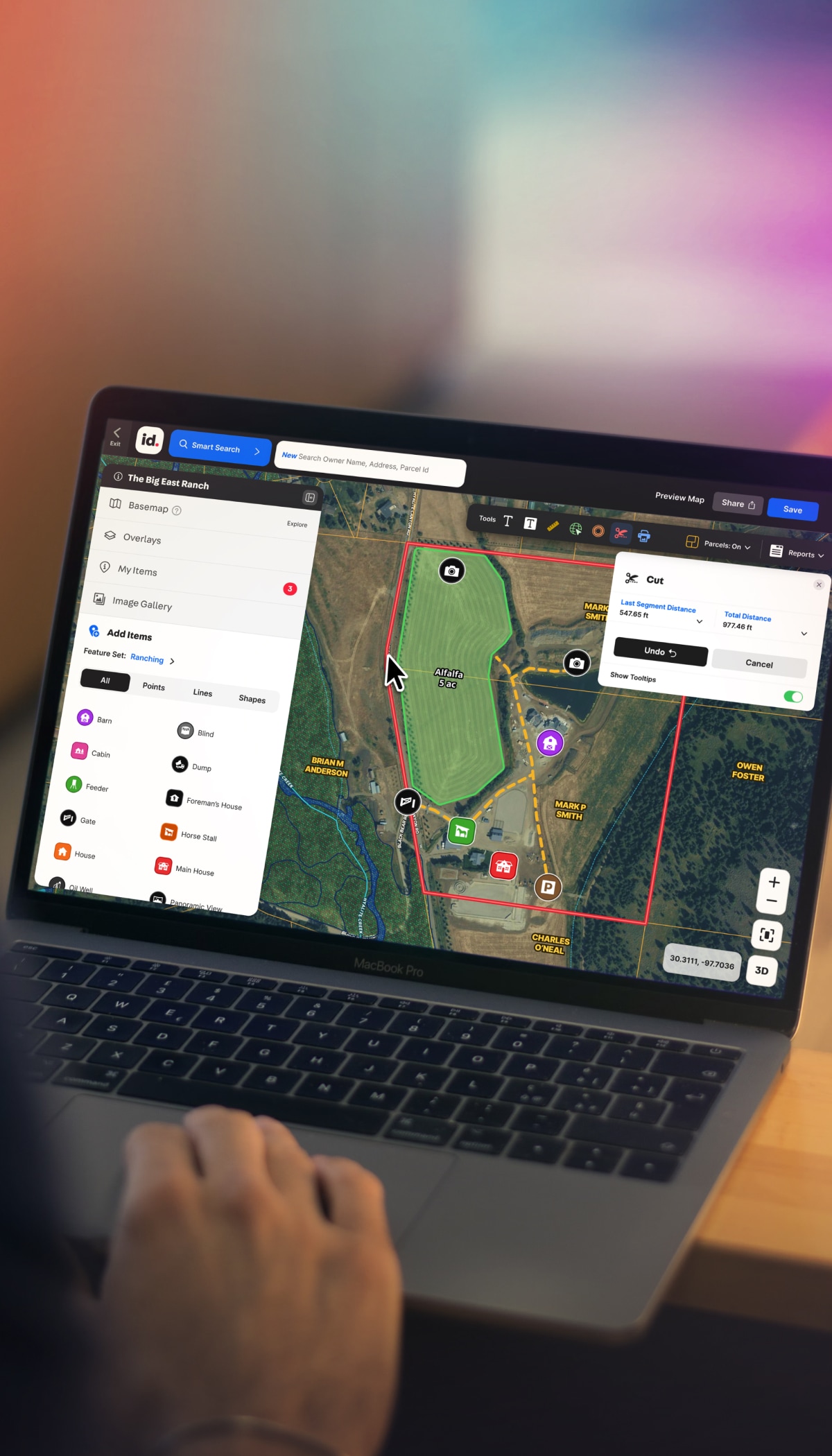
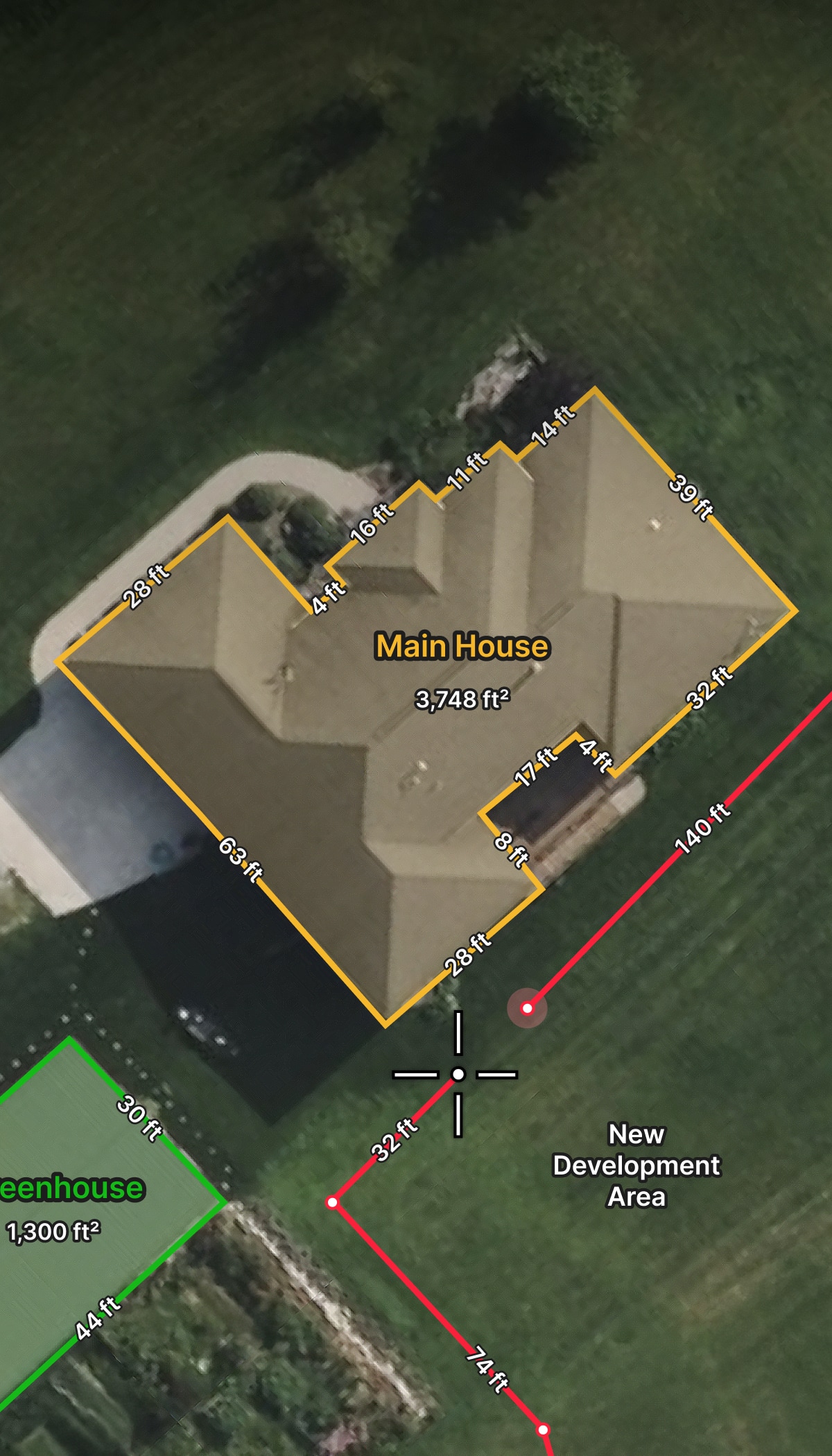
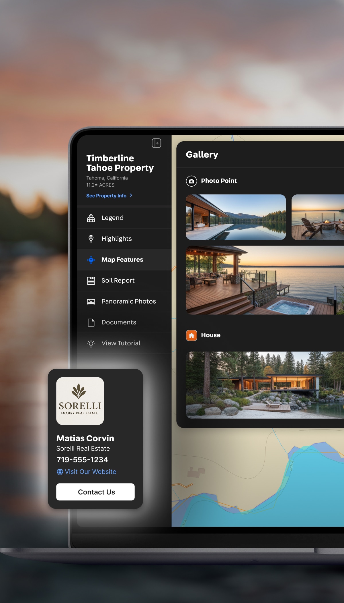
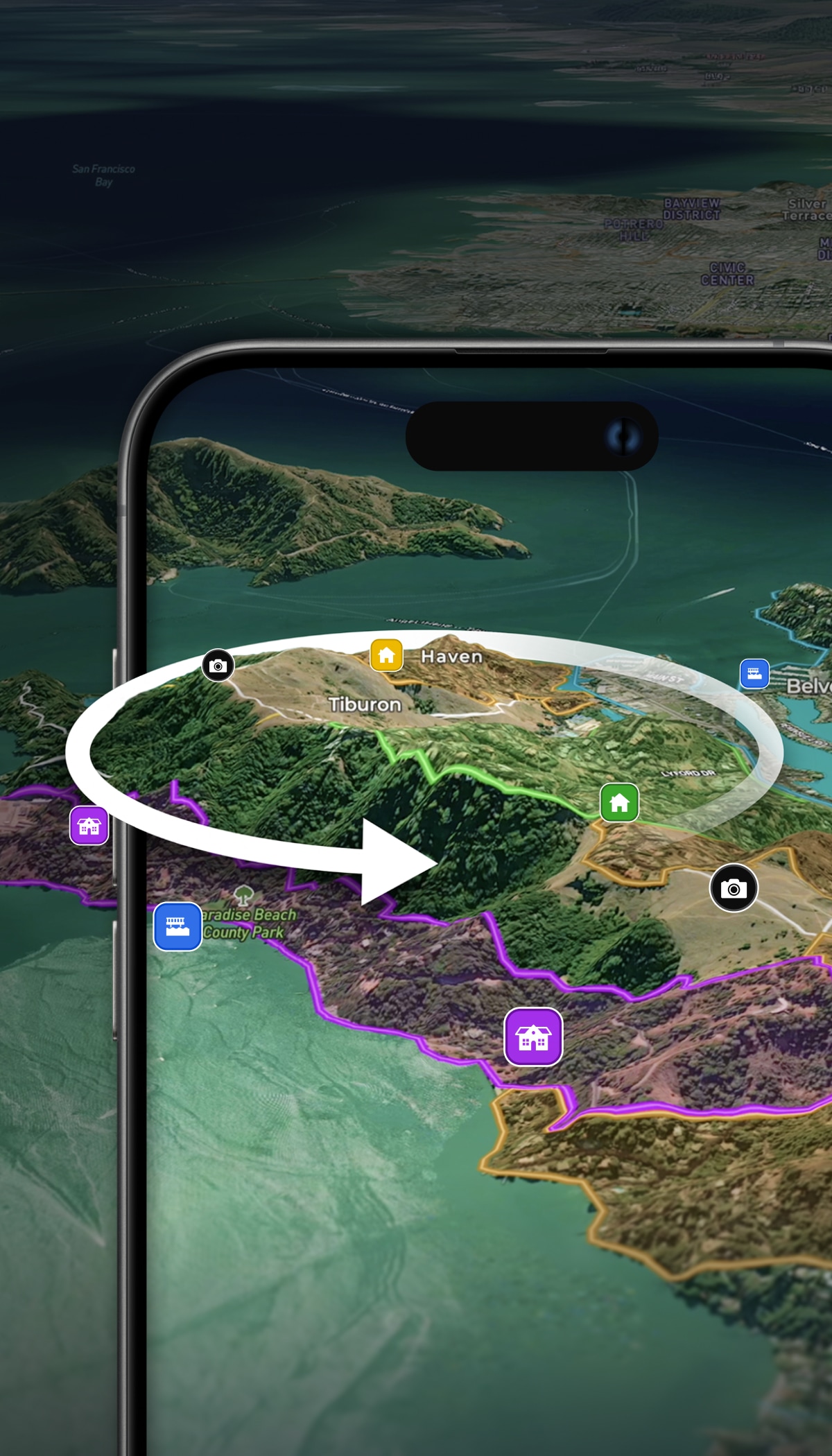
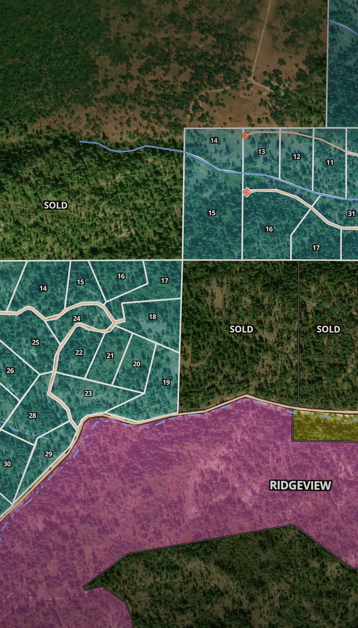
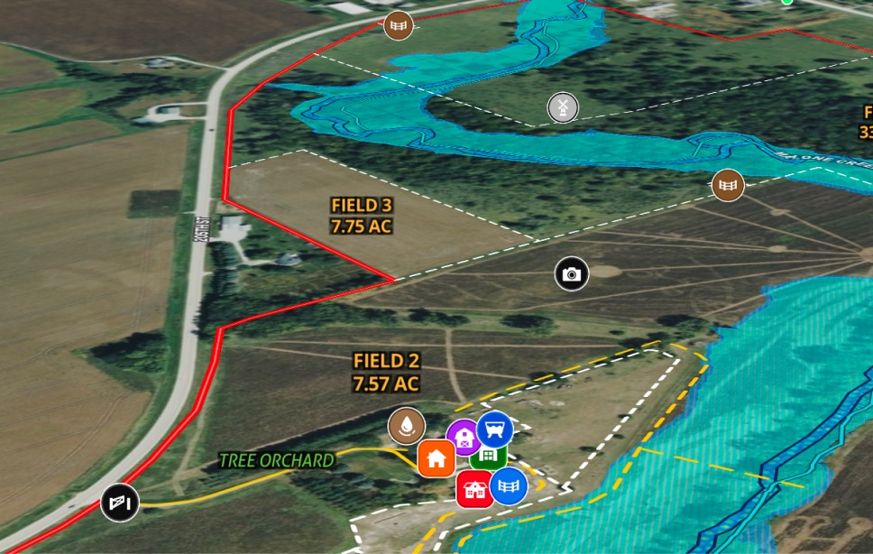
Make Subjective Data Defensible

Create defensible reports for hard-to-value land.

  • Show preservation of views with contour overlays and elevation data.
  • Document water features and drainage to demonstrate water risk.
  • Layer historical basemaps to show land use changes over time.

AgWare Integration

Flow Land id maps directly into the appraisal software you already use.

  • Basic AgWare integration means fewer steps between research and report.
  • Pull over Land id print maps into AgWare appraisal reports.

Works in the Field & at Your Desk

Access data on-site, then sync back to your desktop.

  • Walk property with the mobile app's real-time location tracking.
  • Capture photos and notes while you're on-site and sync them to your desktop.
  • Pull data from anywhere, any device.

More Resources

Remove The Guesswork With The Best Real Estate Appraisal Software Available

Lenders require appraisals primarily for one reason: since the home will act as collateral for the mortgage, they want to make sure they aren’t giving the borrower more money than the house is worth. Similarly, you’ll be hard-pressed to find a buyer who’s willing to overpay for a home; if the sale is already in progress, a lower appraisal than expected could derail the entire process.

Maximize Your Land Appraisal With GIS

For as long as humans have been buying and selling land to each other, land appraisal has been a critical part of the process.

Land Appraisal Guide for Property Owners: How It Works

FAQs

Is Land id free?

Does Land id generate appraisal reports?

Does Land id integrate with AgWare?

What mortgage and lender data does Land id provide?

Does Land id have comparable sales reports?

Can I create print maps in Land id?