Understand the Land
The Most Comprehensive Parcel Data Available
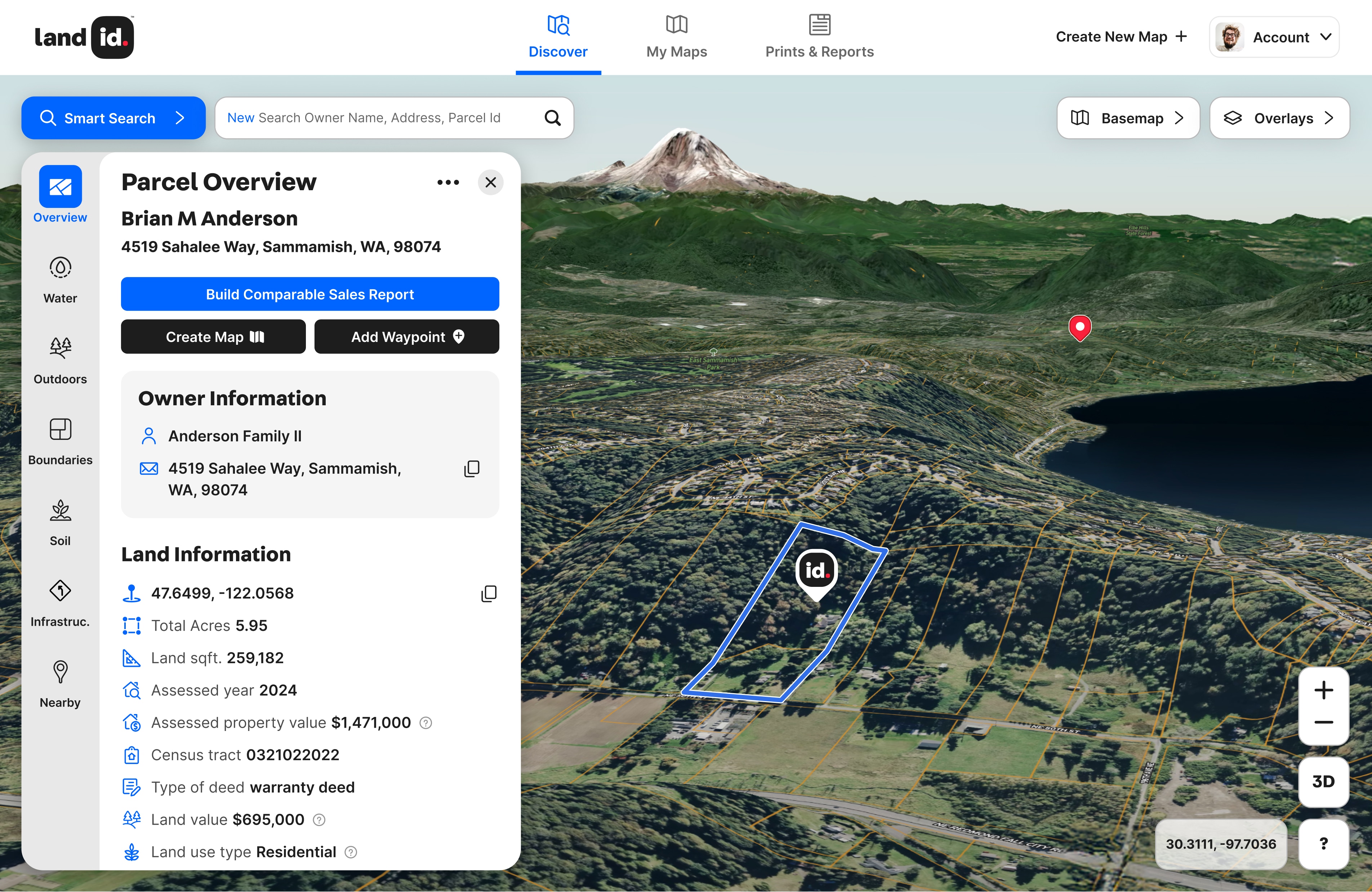
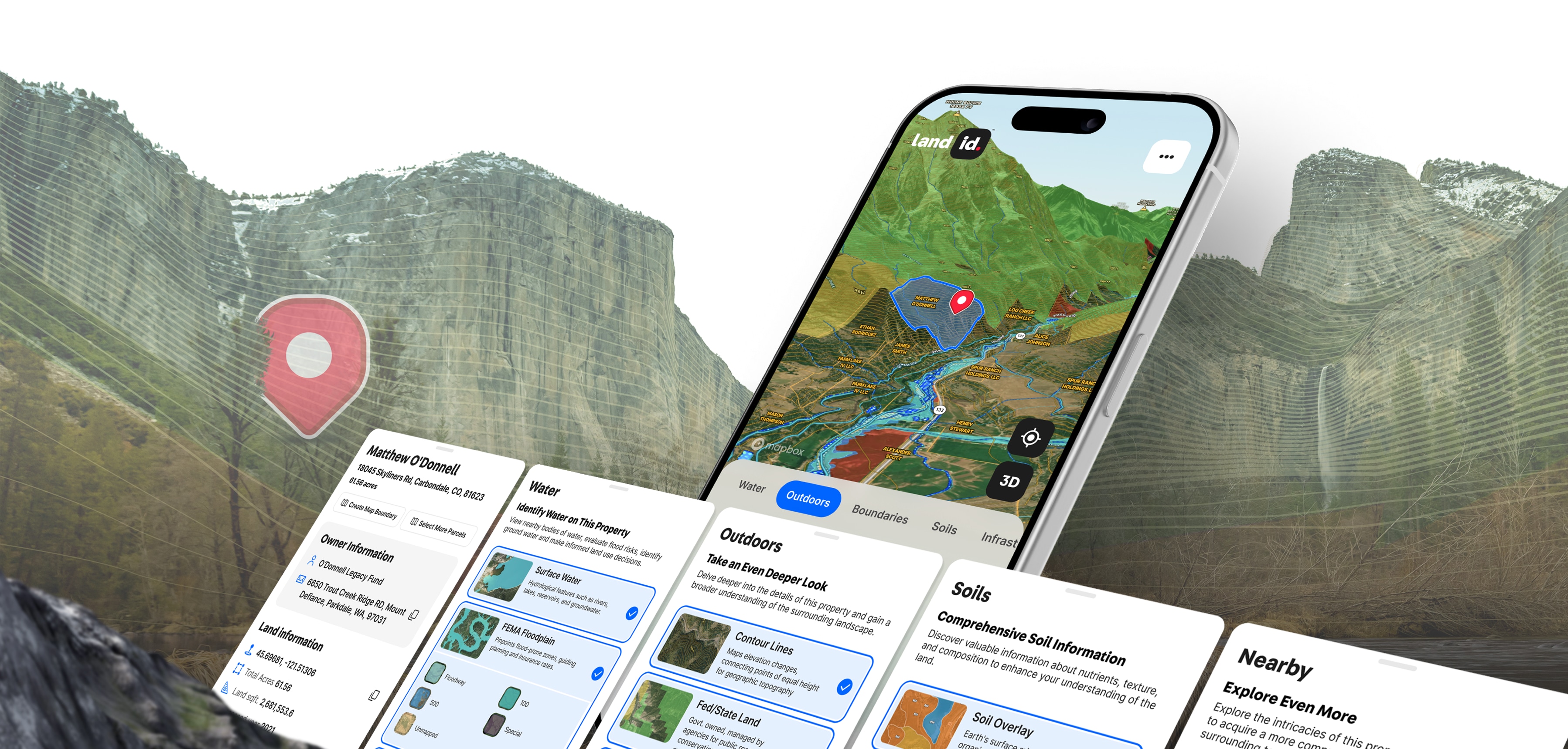
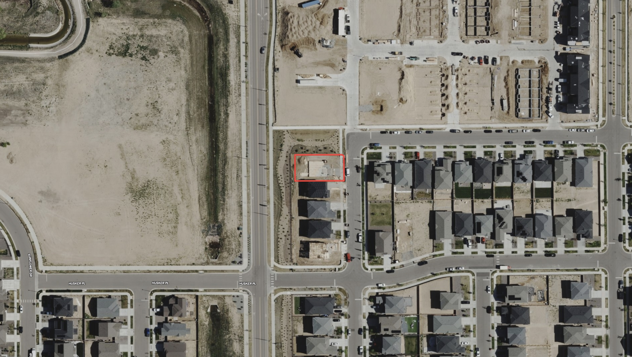
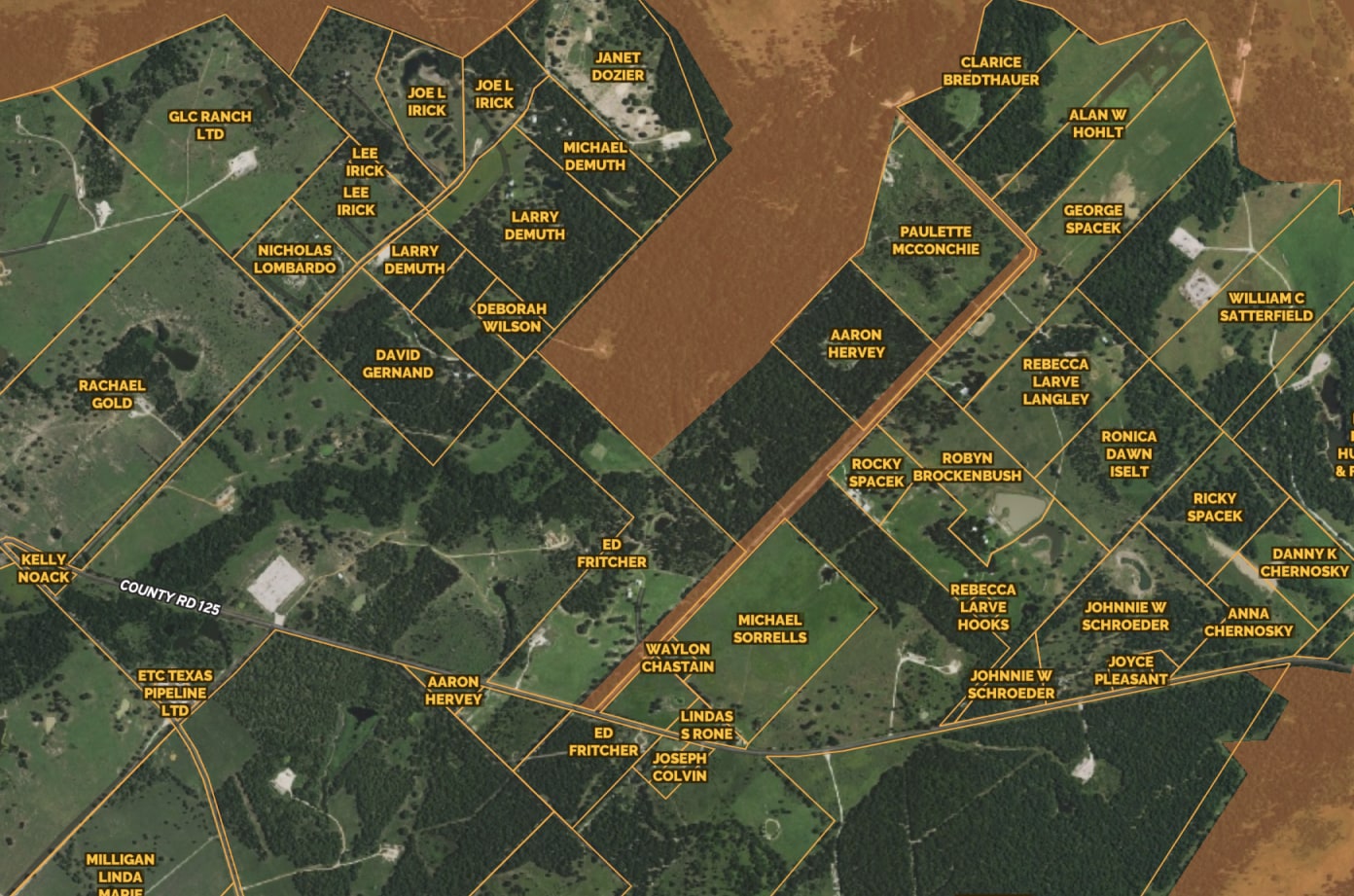
From nationwide property ownership to boundary details, Land id™ provides valuable data for land owners, real estate agents, and industry professionals for many purposes and needs.
Extensive Land Information
Parcel Data Features
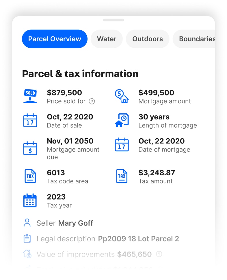
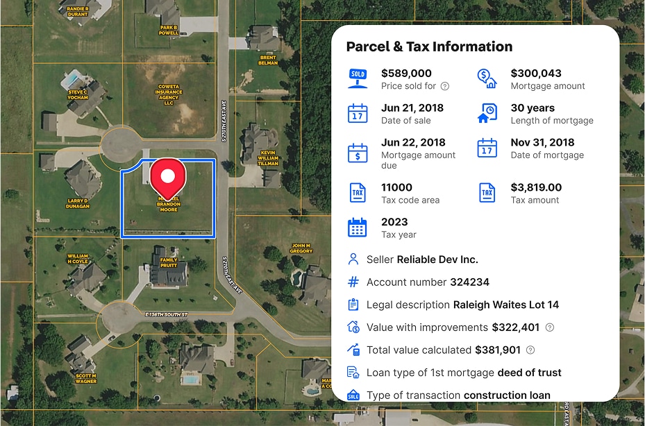
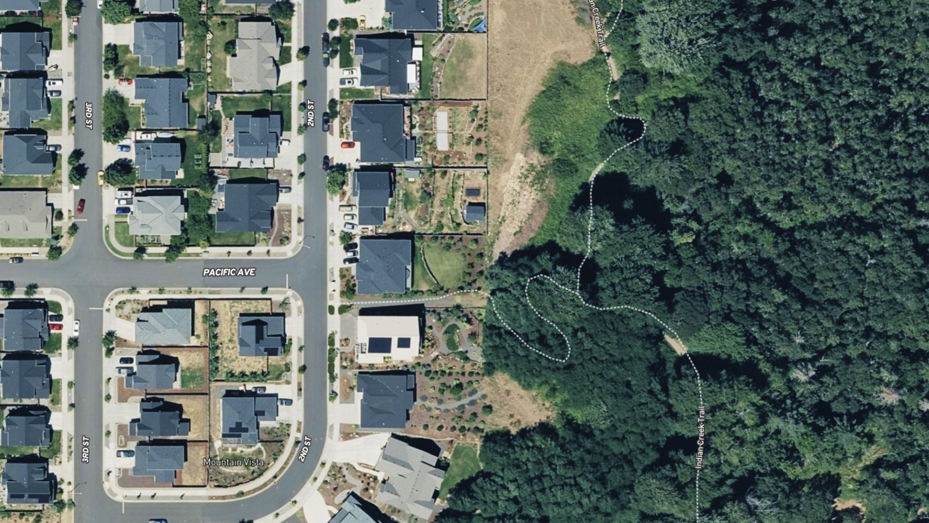
Detailed Parcel Data Including Owner, Assessment, Building Info & More
Access to accurate and comprehensive land information is crucial for making informed real estate decisions, and Land id™ provides the ultimate competitive edge in the market. Stay ahead of the game with the most up-to-date and comprehensive land data available.
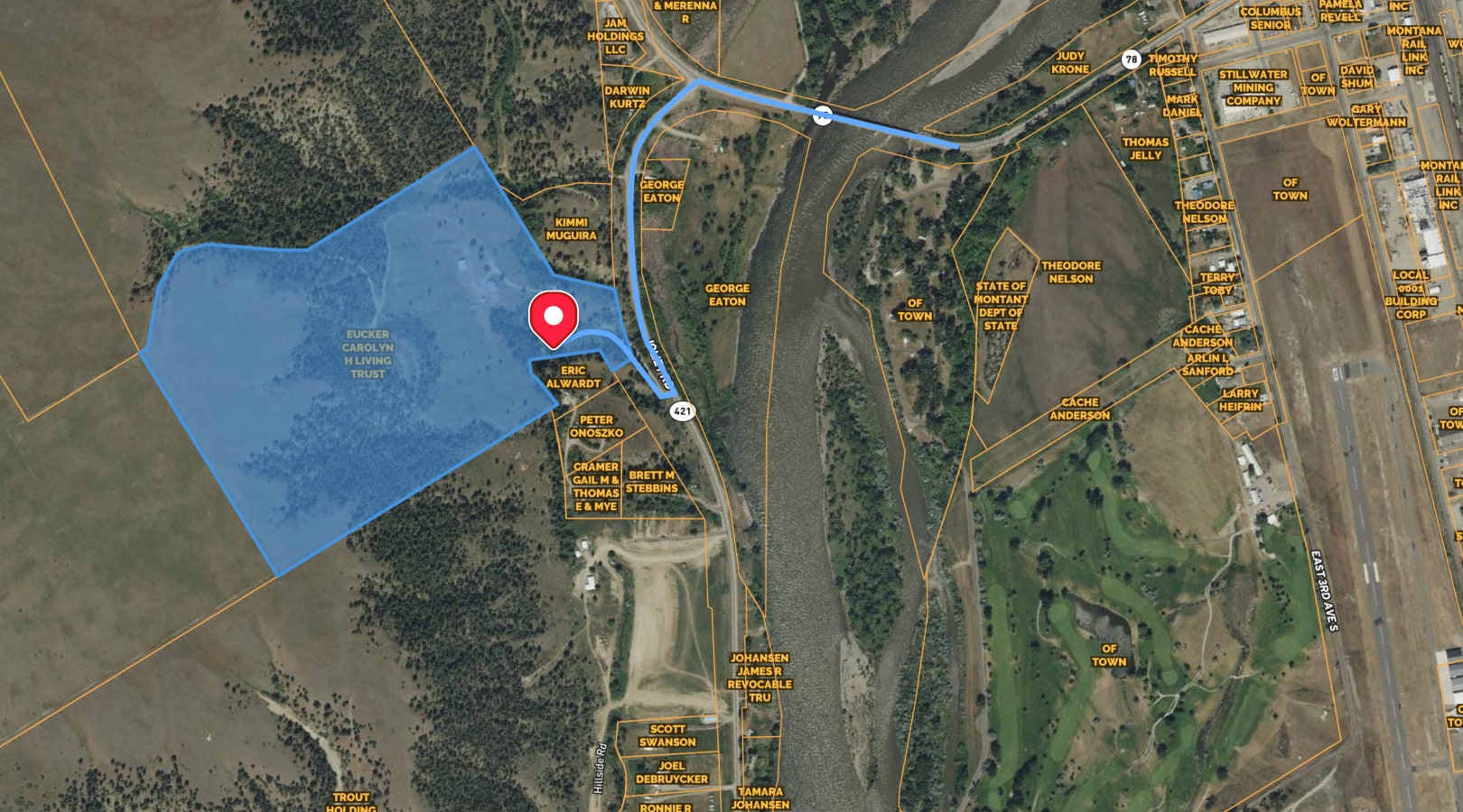
Create a Mailing List With CSV Reports
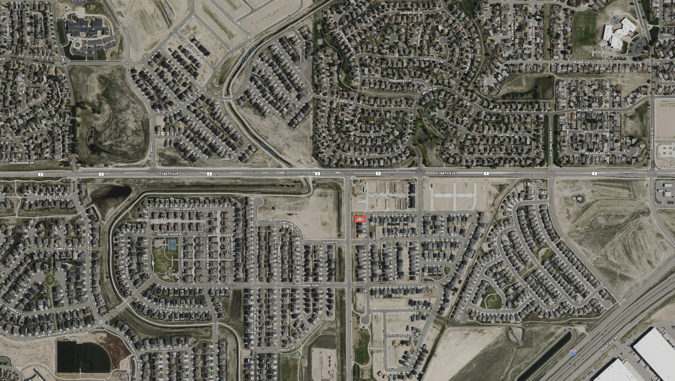
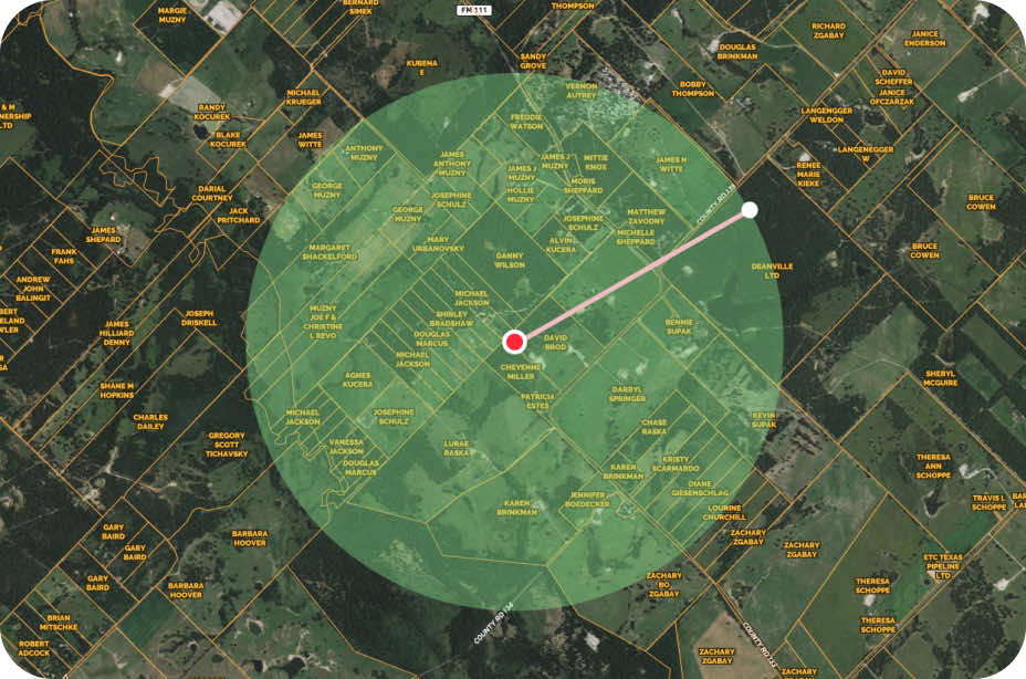
With access to our accurate parcel data, you can easily generate and export mailing lists of landowners surrounding a specific parcel. This valuable tool enables you to reach out to potential buyers, investors, or tenants in the area and take advantage of new opportunities.
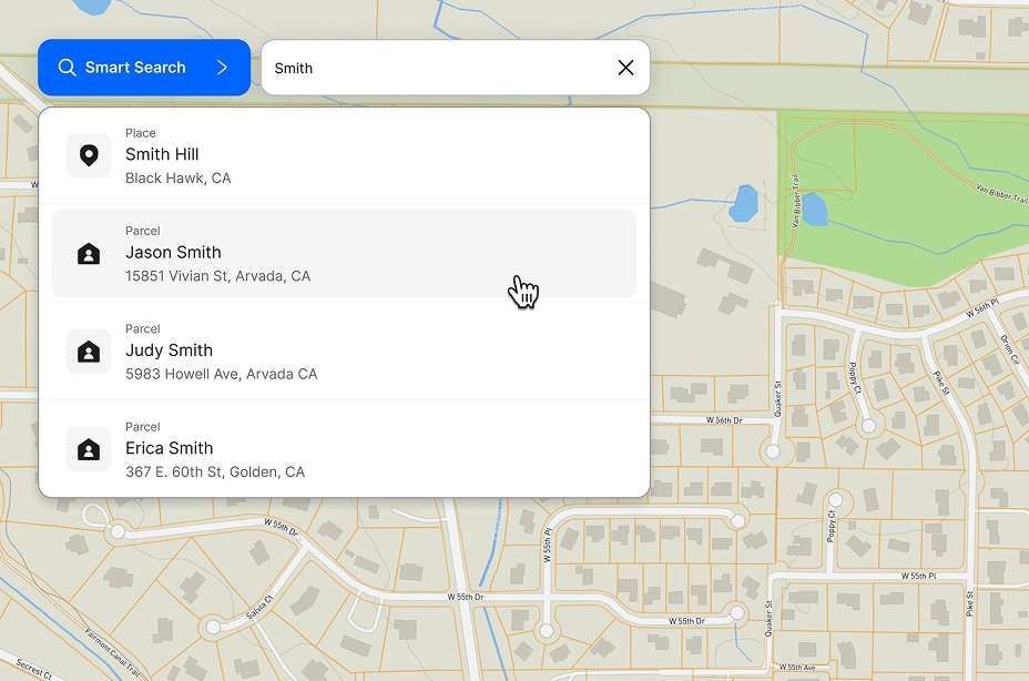
Quickly Search & Locate Parcel Info
Need to find a specific property? With Land id™, you’re able to search by APN number, landowner name, address and more. Locate the information you need in seconds with Land id’s fast and easy search.
Get Driving Directions
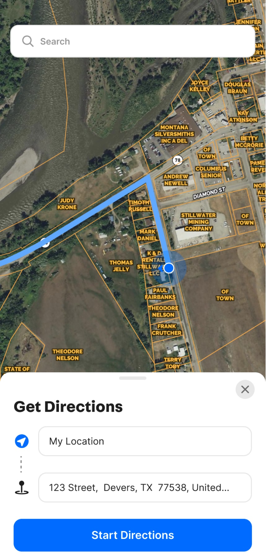
Just Tap And Go
Land id™ allows you to easily obtain driving directions that take you straight to your waypoint. Say goodbye to the hassle of getting lost and hello to a seamless navigation experience.
Demo request received.
FAQs
What Does Parcel Data Mean?
Parcel data refers to comprehensive information related to land parcels, including ownership, boundaries, zoning, and structural details. It encompasses critical data such as owner names, addresses, and acreage and can include more specific data like mortgage and assessment information.
Why Is Accurate Parcel Data Important?
Accurate parcel data is crucial as it ensures the reliability of property assessments, valuations, and transactions. It also helps avoid legal disputes over property boundaries and ownership, facilitating smoother real estate transactions by providing stakeholders with dependable information.
How Is a Parcel Data Map Created?
A parcel data map is created by collecting and integrating detailed information on property ownership, boundaries, and other relevant data into a geographic information system (GIS). Land id™ utilizes extensive datasets to build these maps, which can be quickly customized and shared online.
How Can I Access Parcel Data?
You can access parcel data through Land id™’s online platform. It allows users to search for specific properties using APN numbers, landowner names, or addresses. The system provides a user-friendly interface to locate and analyze parcel information.
Can Parcel Data Change Over Time?
Yes, parcel data can change over time due to various factors such as property subdivision, ownership transfers, rezoning, or changes in land use. Regular updates to parcel databases are necessary to reflect these changes and maintain the accuracy of the data.
What Is the Difference Between a Parcel Boundary and a Property Line?
A parcel boundary is an official demarcation recorded in land registries that outlines the limits of a parcel of land. A property line, while often used interchangeably with a parcel boundary, specifically refers to the defined points where one property ends and another begins, as recognized in property deeds and legal documents.