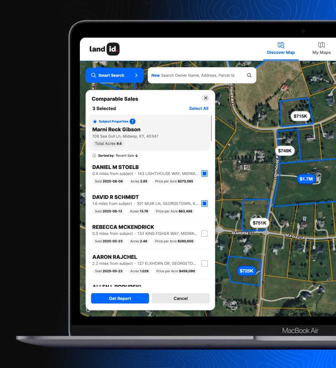
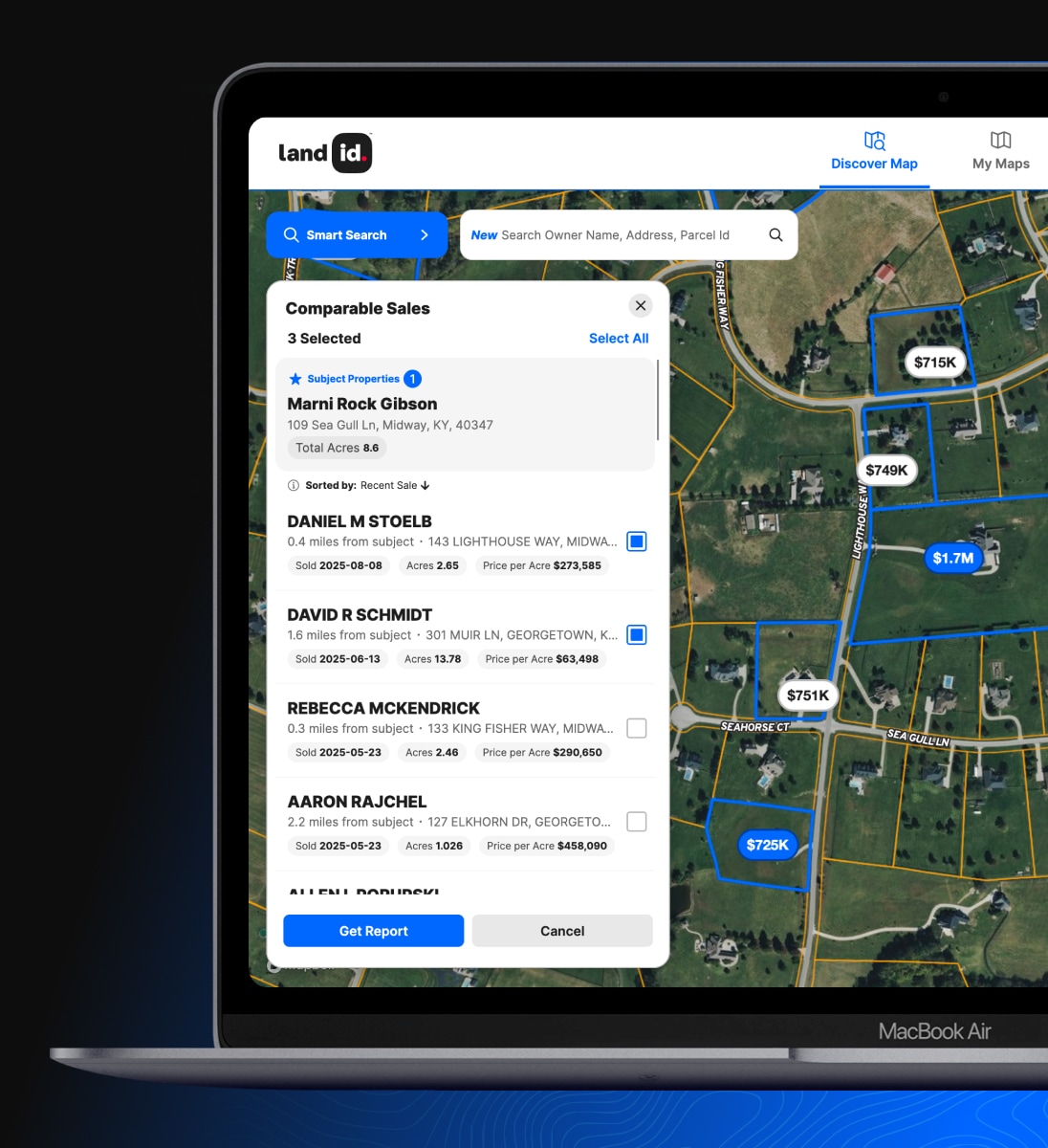
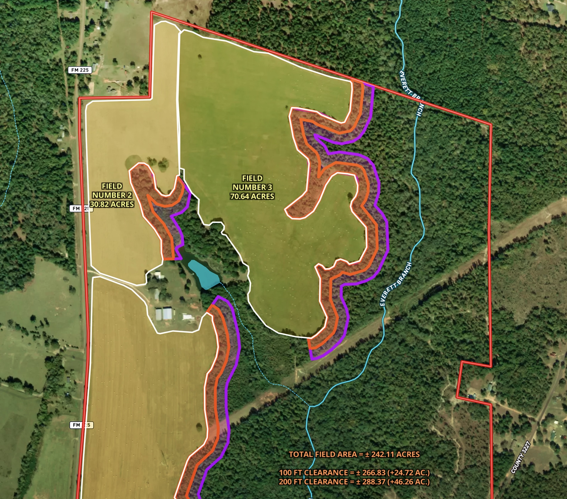
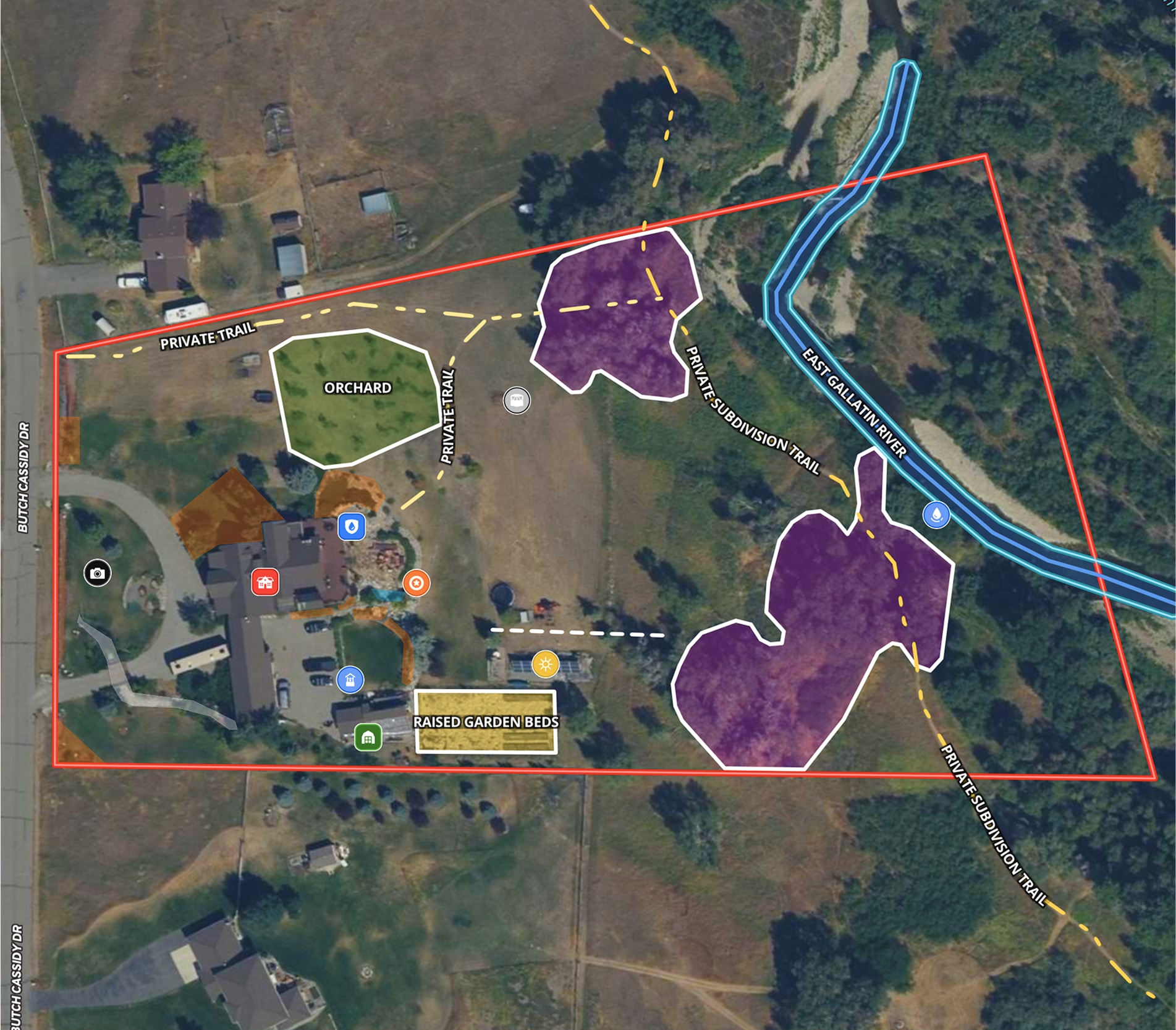
Property Mapping

Create, Share & Embed Maps Easily

Create custom maps using real estate mapping tools for your listings, projects, and more with Land id™ on your desktop and the Land id™ mobile app.

Take Your  Mapping to the Next Level

Online Property Mapping Software From Real Estate to Agriculture & Beyond

Land id™ gives anyone the ability to discover the most in-depth property and land data, and to create and share beautiful, interactive real estate mapping for your properties and projects.

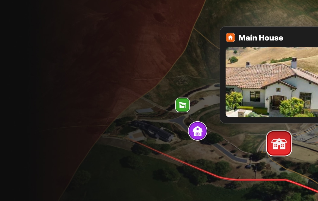
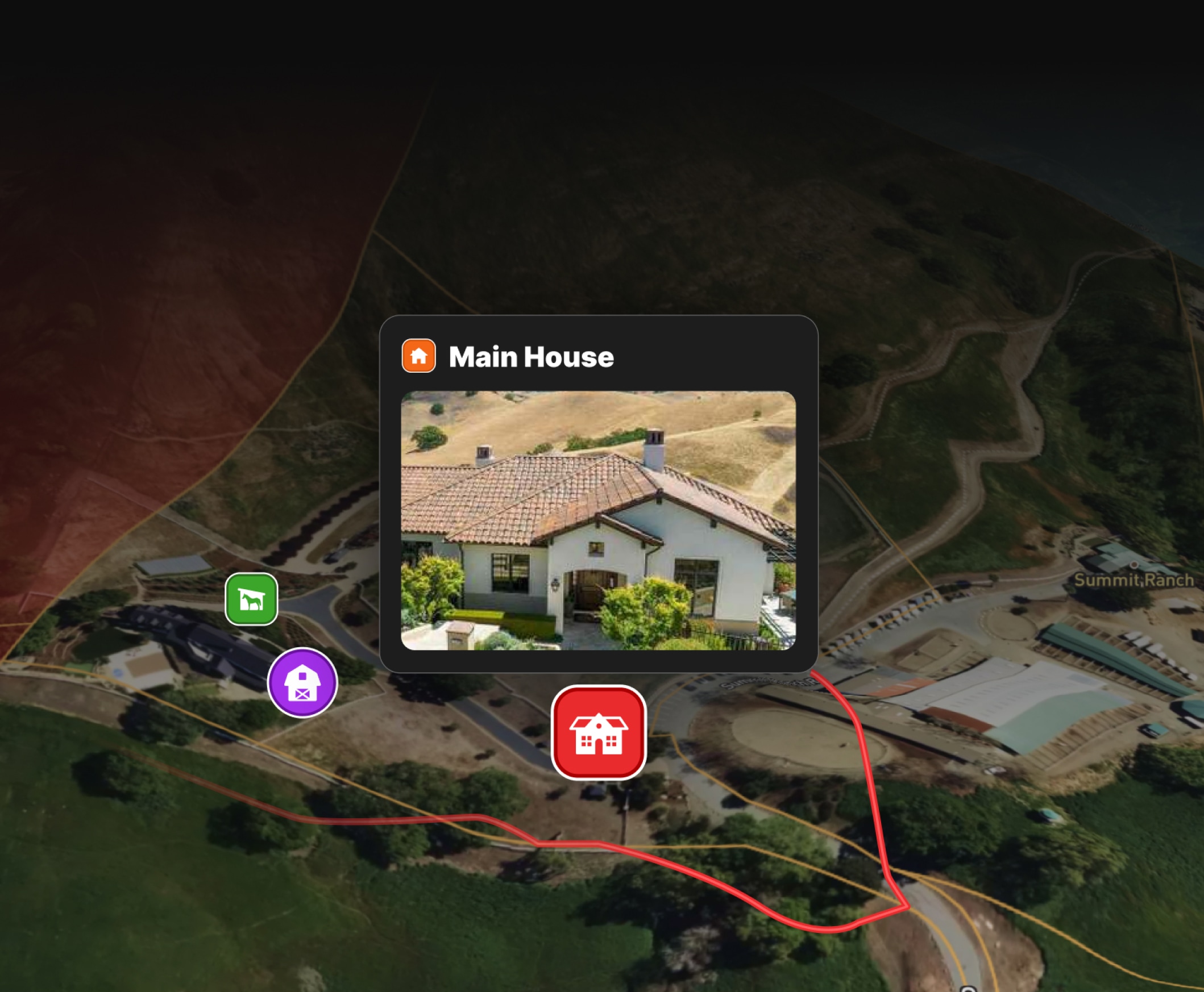
Annotate Your Maps With Photos, Videos, Icons, and More

Transform how you build and share maps and take your property marketing strategy to new heights. Say goodbye to the hassle of static maps and embrace dynamic, interactive property maps that easily showcases every aspect of your land.

A composite with a satellite image and a photograph of a hay field superimposed on top of it.

Explore Land id™ Property Mapping Tools

Draw shapes, create land boundaries, and precisely measure distances right from your desktop or phone. With mapping tools like labels and icons, you can help viewers gain a better spatial understanding of crucial aspects of a property.

Create & Share Maps on the Land id™ Web and Mobile Apps

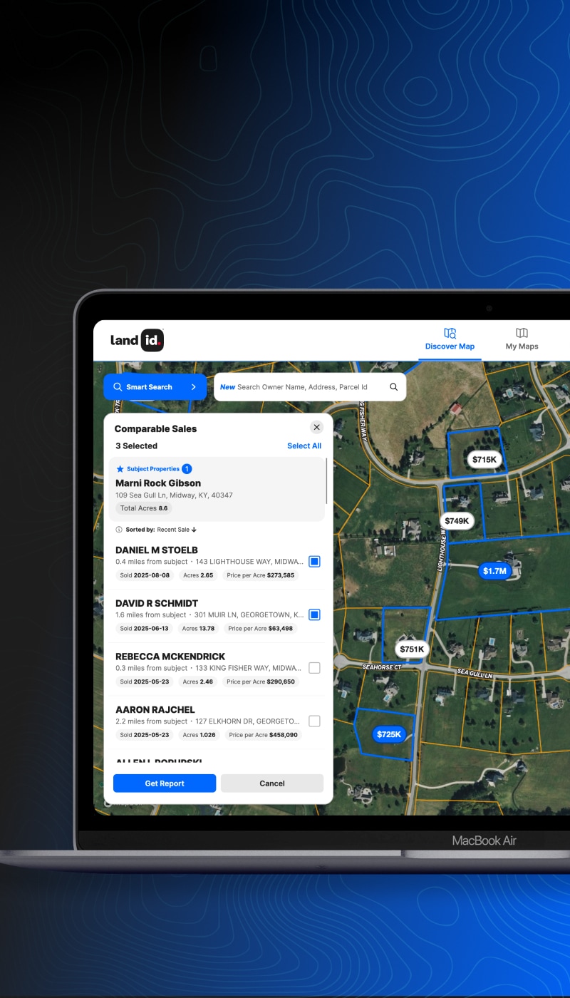
Land id™ offers a seamless experience across multiple platforms, so you can create and access custom real estate maps on both desktop and mobile devices. So whether you're using the desktop web app or our mobile app, Land id™ makes it easy to create professional maps tailored to your needs.

Make your first map in 3 min.

Get the Land id™ App

Try for freeTry for free

Intuitive Management

Easily
Create, Manage & Share

With our industry leading property mapping software, you can create and share multiple maps with ease. All your maps are neatly organized on your map dashboard, making it simple to find and manage them in one place.

Screenshot of the Land id web app showing saved maps.

Sharing Maps Made Easy

Share & Embed Maps

The only thing better than creating a map is sharing it. Maximize Land id™ by embedding your interactive real estate map onto your website or listing sites. We provide an embed script for each map to make it a seamless process.

Photos & Videos

Add photos, videos and georeference overlays to your map to highlight essential features within the context of the surroundings. Embed visually stunning media to seamlessly bring your real estate maps to life and create a more engaging experience for your audience.

Basemaps & Overlays

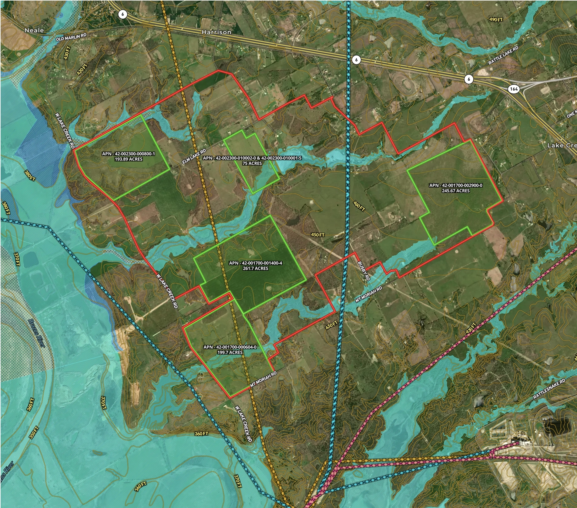
Use a variety of satellite and topo maps with our real estate mapping capabilities to help better understand any property or area’s features. Additionally, over 40 overlays nationwide can be added to highlight property boundaries, zoning information, and other robust data, allowing for a more nuanced view of the land's identity.

360˚ Property Panoramas

Experience the world around you like never before with captivating panoramic real estate images. This innovative technology empowers you to explore your surroundings from every angle, providing an unparalleled level of immersion and bringing your land to life in stunning detail.

Make your first map in 3 min.

Get the Land id™ App

Try for freeTry for free

Deed Plotting, Database Builder & More

Powerful Features to Unlock Epic Real Estate Maps

Land id™ allows anyone to create the most in-depth real estate map to showcase the land and improvements data, while highlighting what makes your real estate property unique.

Georeference Images & Deed Plotting

Land id™ property mapping software allows you to overlay a survey or site plan on top of an aerial map. Opacity controls help you see every layer, and custom control points ensure proper visual alignment. Add multiple georeference images and GIS overlays to make any map truly spectacular.

Satellite image with a plat map custom overlay on top.

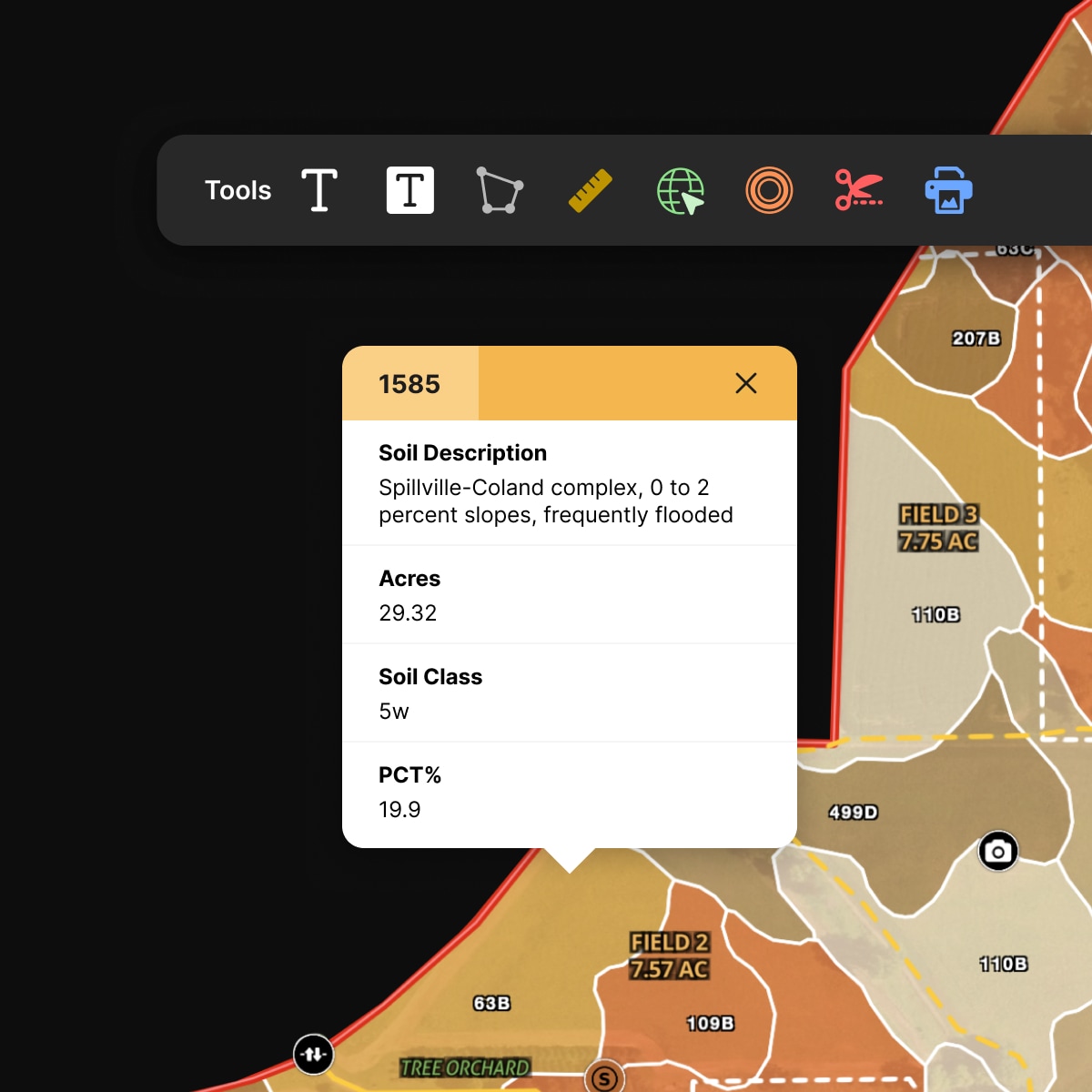
Soil Reports

Identify the land beneath your feet. Soil reports provide valuable information on soil type, class, and agricultural applications, making them particularly useful for farmers, ranchers, landowners, and organizations involved in natural resource planning.

Composite image showing a map and overlaid on top a tooltip showing a soil report on a highlighted plat.

Simple Database Builder

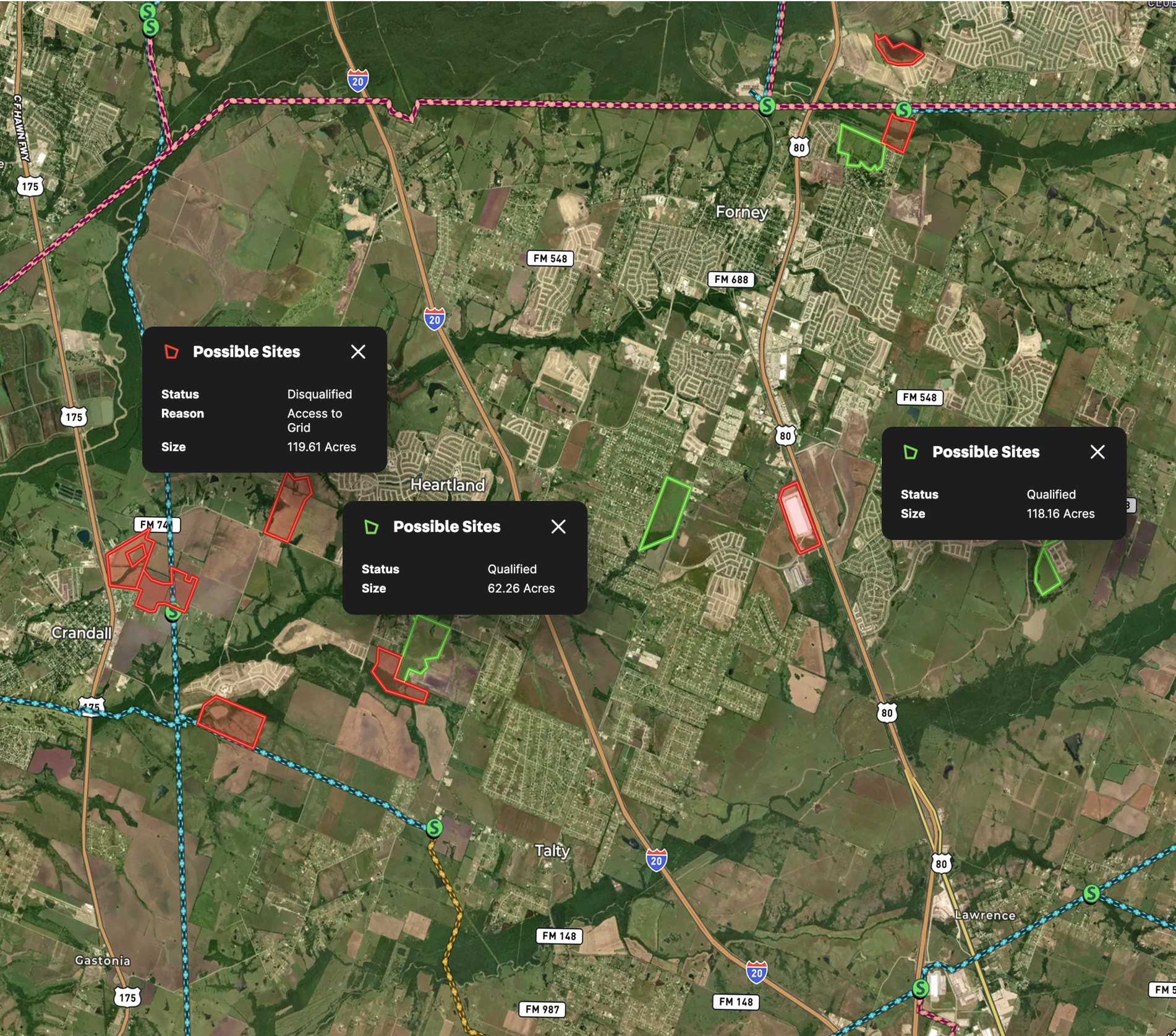
Construct proprietary geographic databases tailored to your needs. Land id™ offers a real estate mapping software solution that enables you to effortlessly track vital data points, gain valuable insights, and inform your business activities.

Composite image showing a map and overlaid on top a tooltip showing information about a highlighted plat.
Screenshot of a woman demoing the Land id desktop web app.
Get a live demo

Interested but want to see a bit more? Sign up for a live demo today.

Intrigued with Land id™ but want to see more? Sign up for a live demo of our property mapping software with one of our experts today.

Schedule a demo

FAQs

Can Real Estate Mapping Software Help in Property Investment Decision-Making?

What Are the Key Features to Look for in Property Mapping Software?

Who Typically Uses Real Estate Mapping Software?

What Is the Role of Mapping in Software?

What Is Real Estate Mapping Software?