



No items found.
Parcel Data That Gives You the Full Picture
From nationwide ownership and boundaries to land use, terrain, soils, infrastructure, and more, Land id brings the details that matter together so you can understand any property and act on what you find. Great for anyone needing detailed property data, from landowners to investors to agents and brokers.


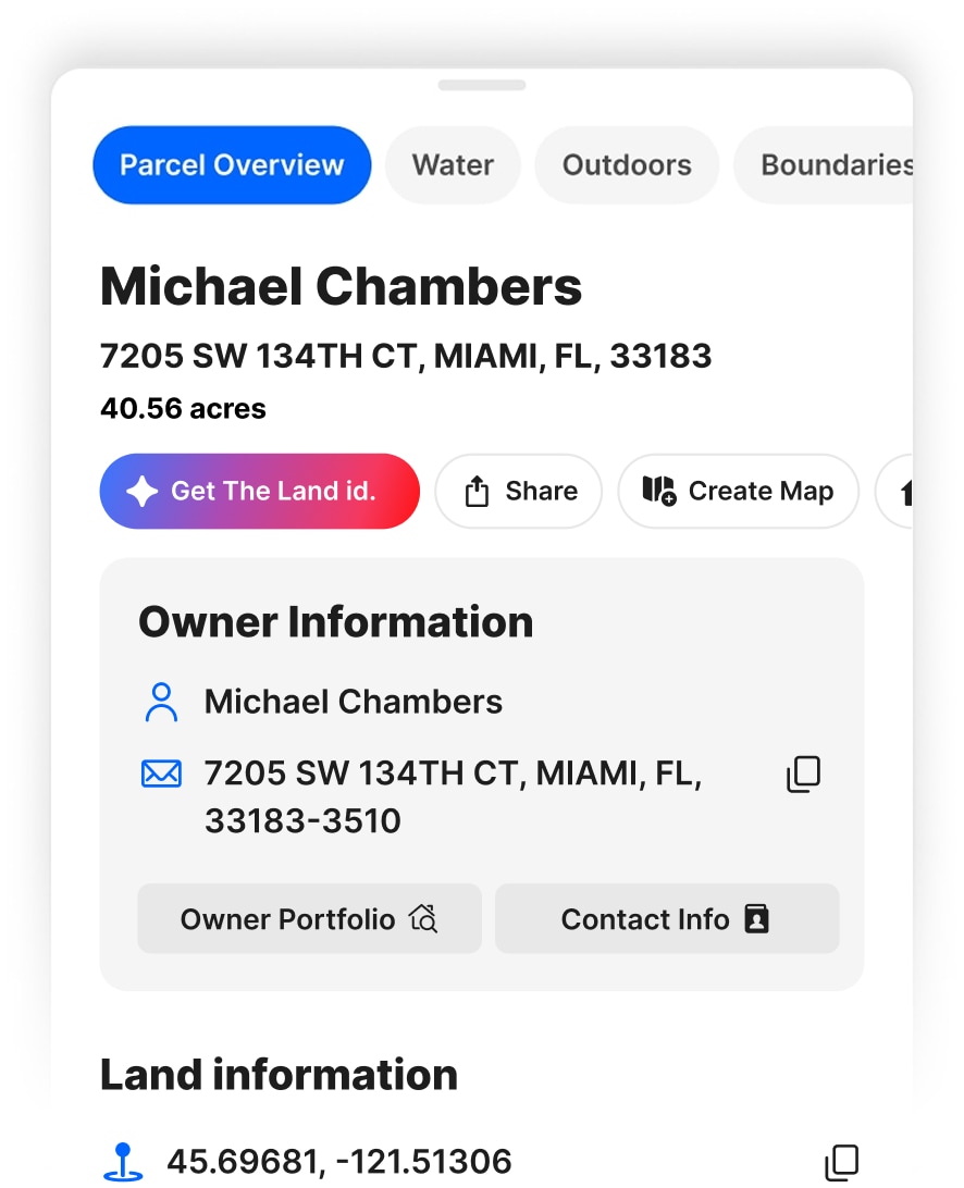
Complete Parcel Data in One Card
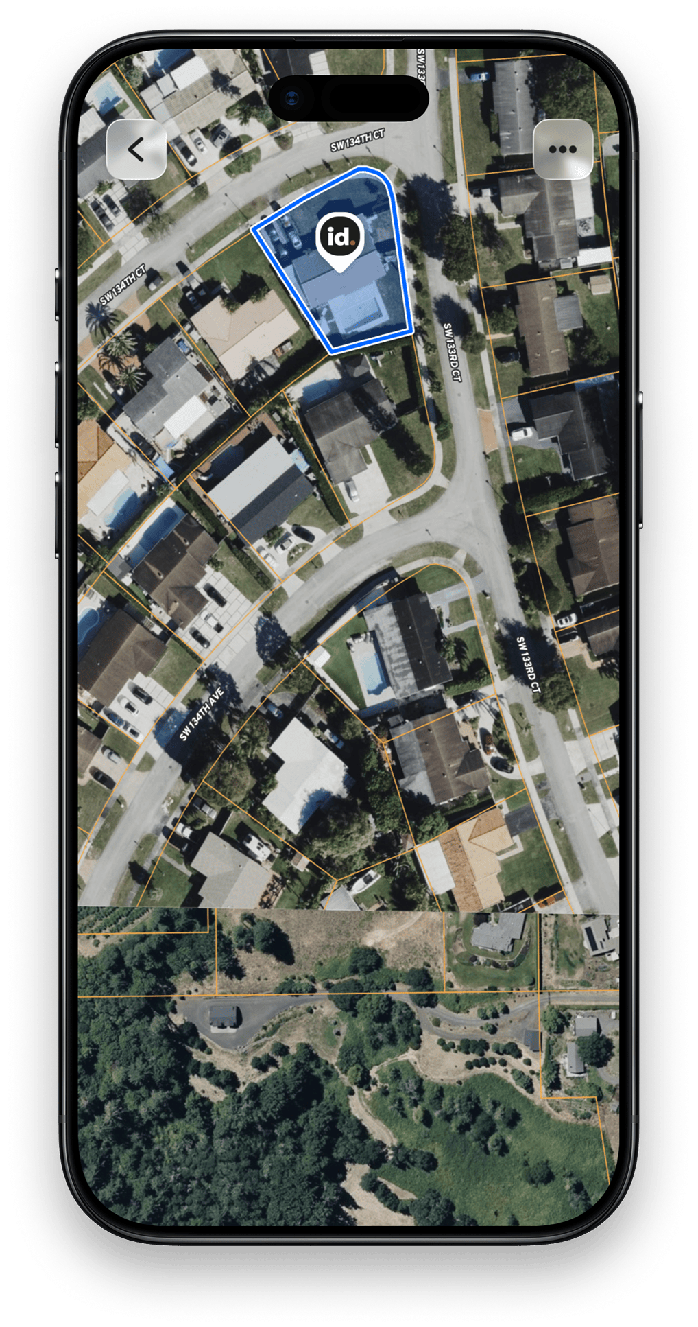
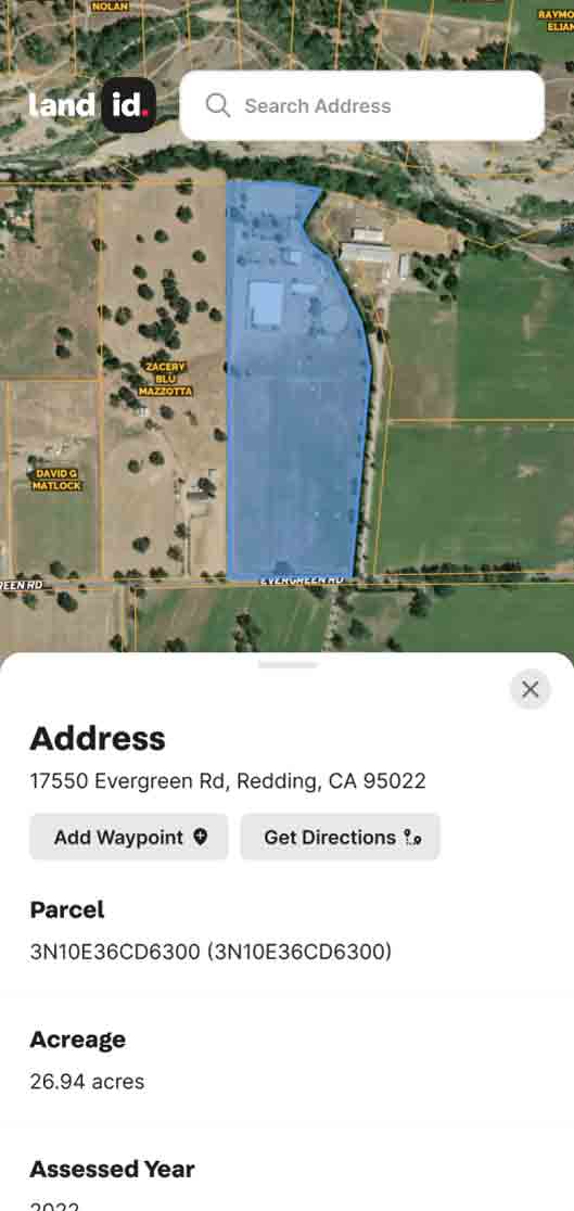
See owner names and property portfolios, mailing addresses, acreage, land use, and more alongside property boundaries, so you can quickly research a property, map what matters, and share what you find.
Get the Details Behind the Property
Uncover mortgage, assessment, ownership, valuation, and property lines— information that helps you understand what a property is worth, who owns it, and the details that could shape your next move.
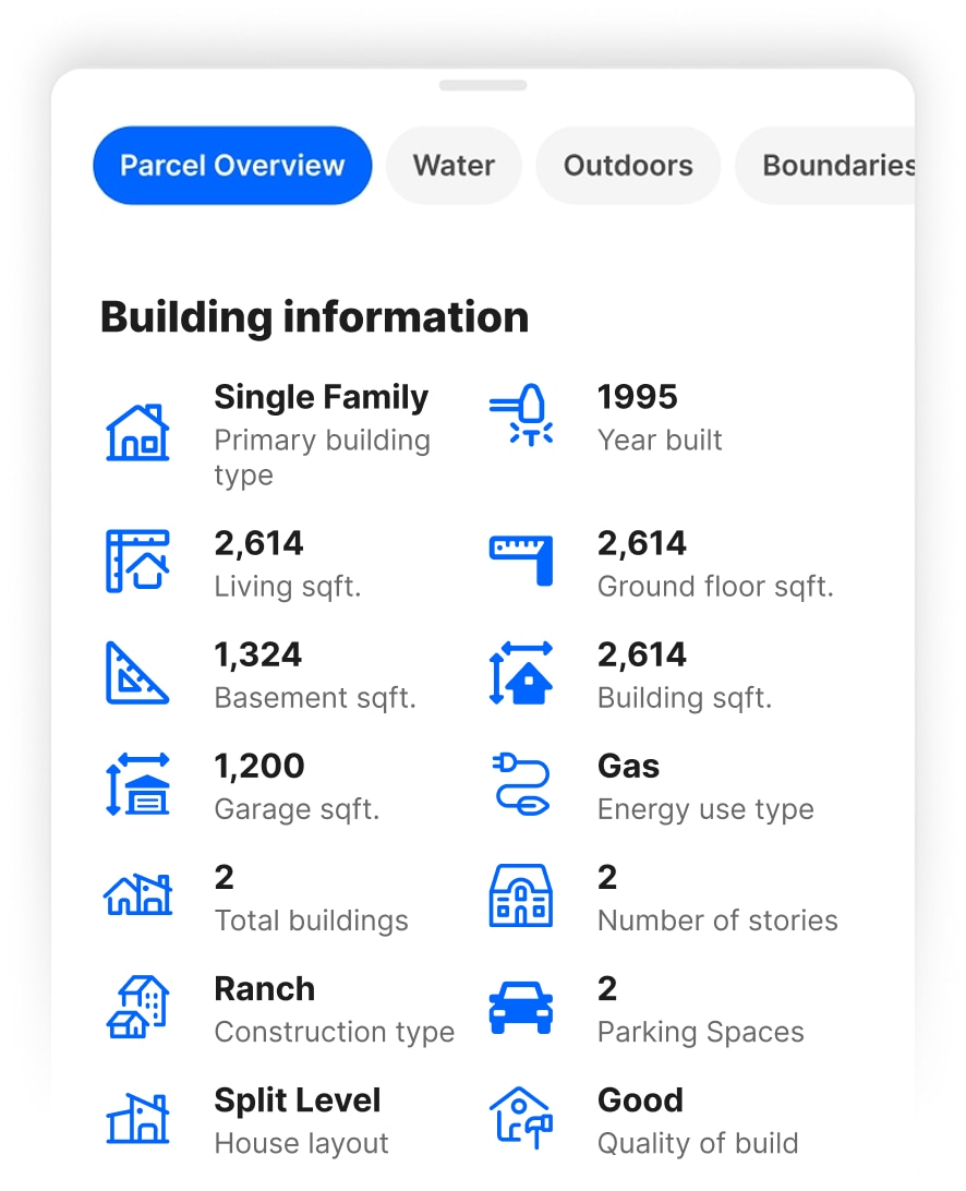
Understand What’s Built on the Property
Get key building details to understand existing structures, assess value, evaluate their impact on the property, and spot details that could affect your plans.



Enhanced Georeference
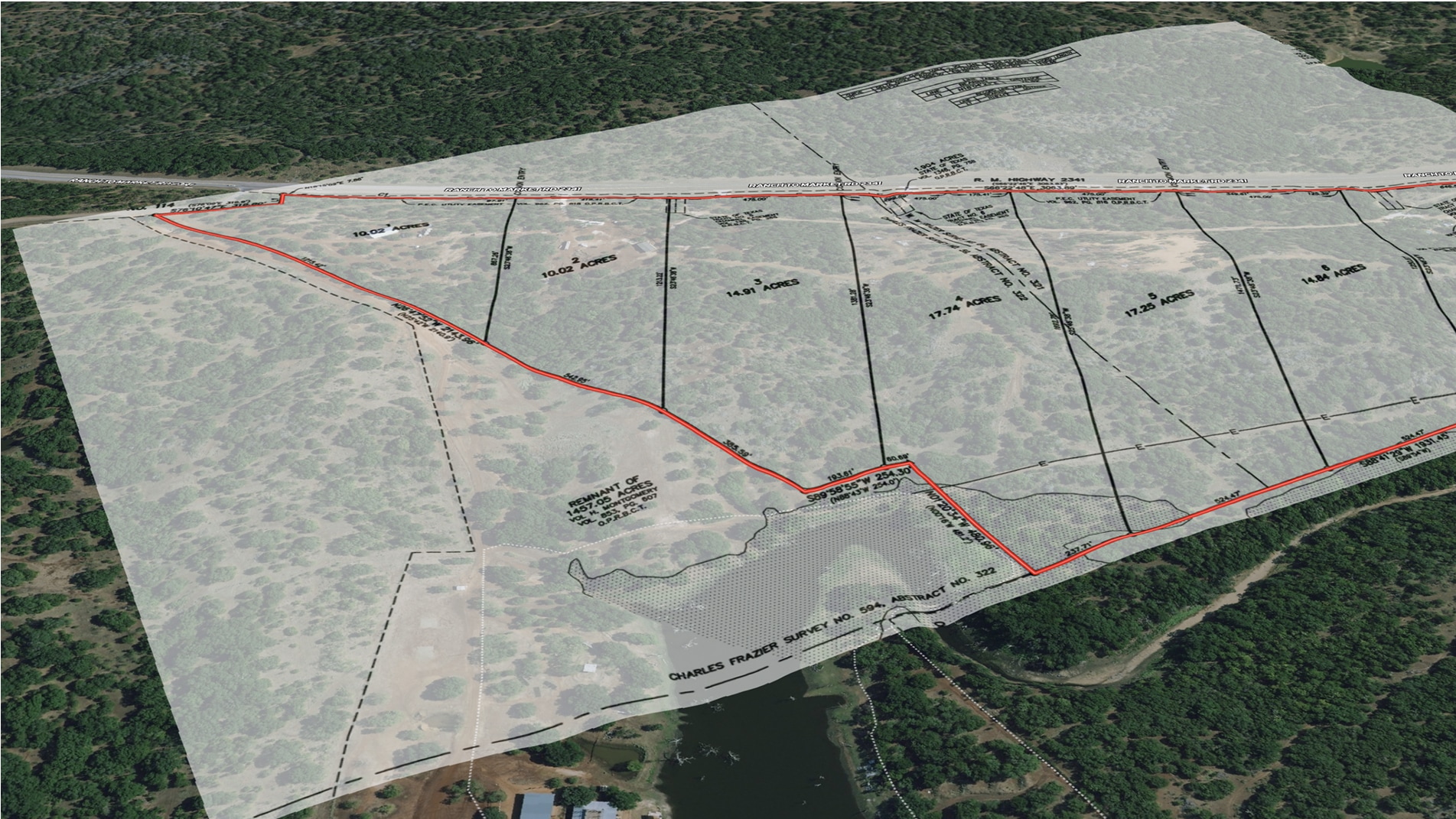
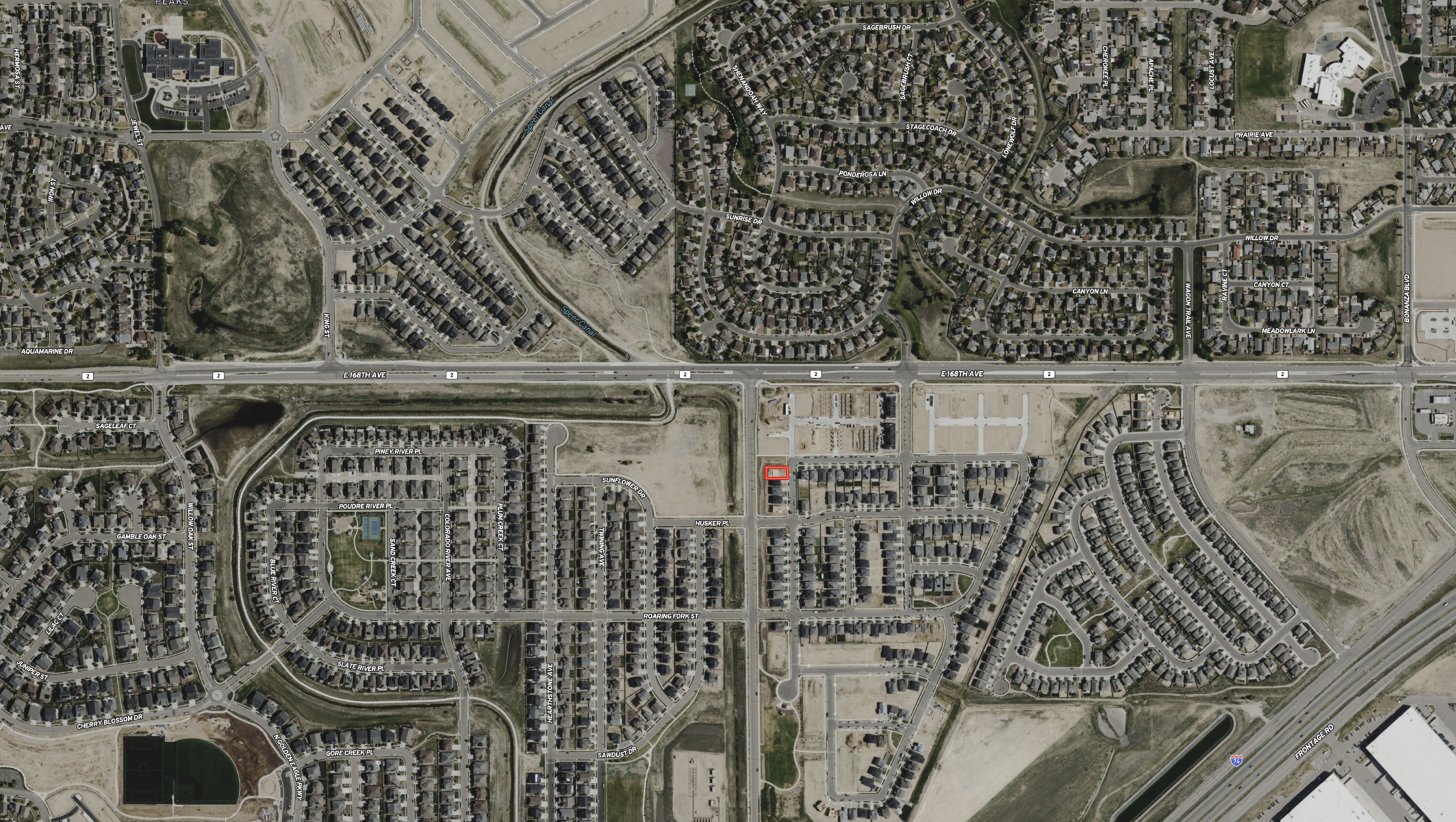
Visualize Your Project Exactly Where It Lives
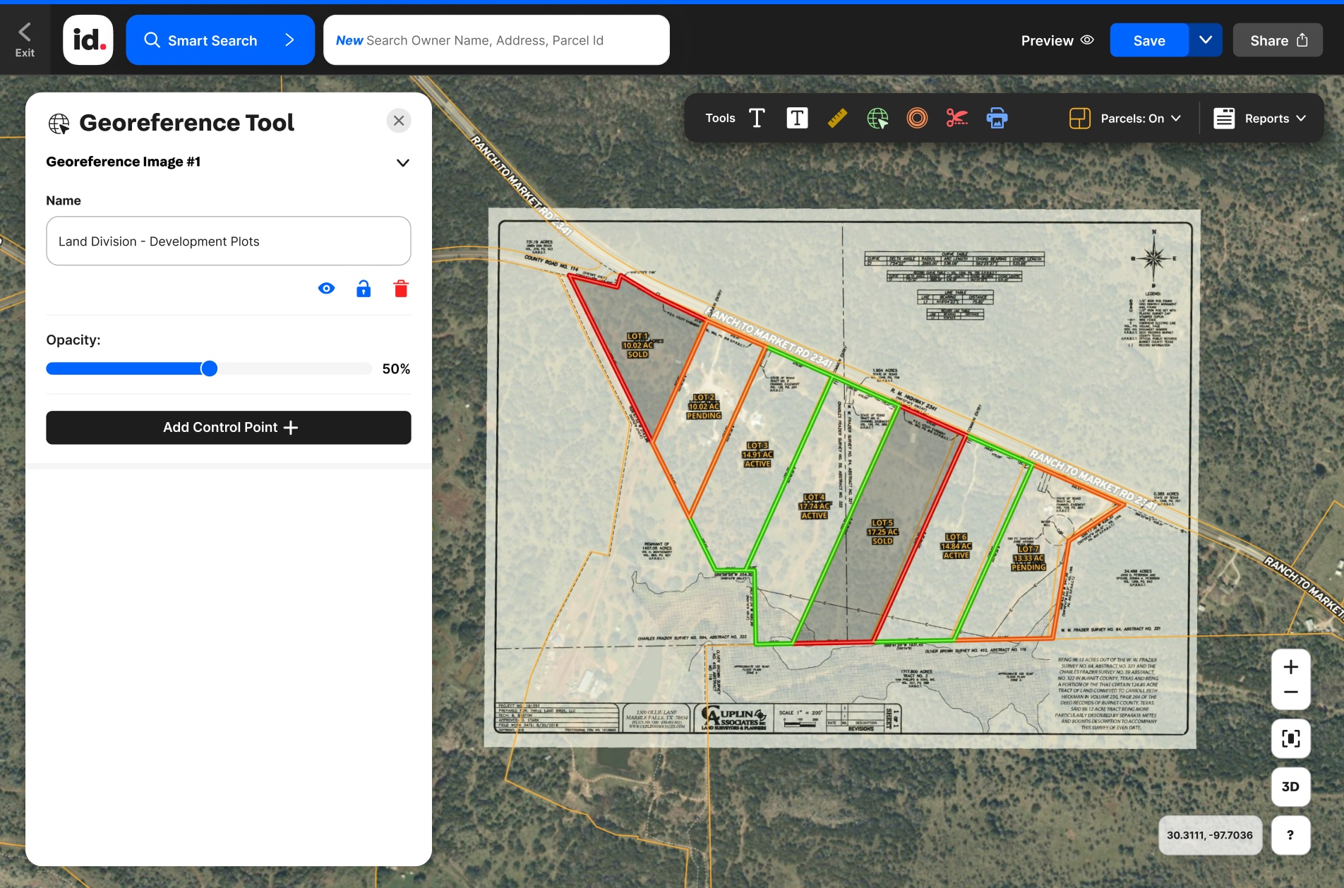
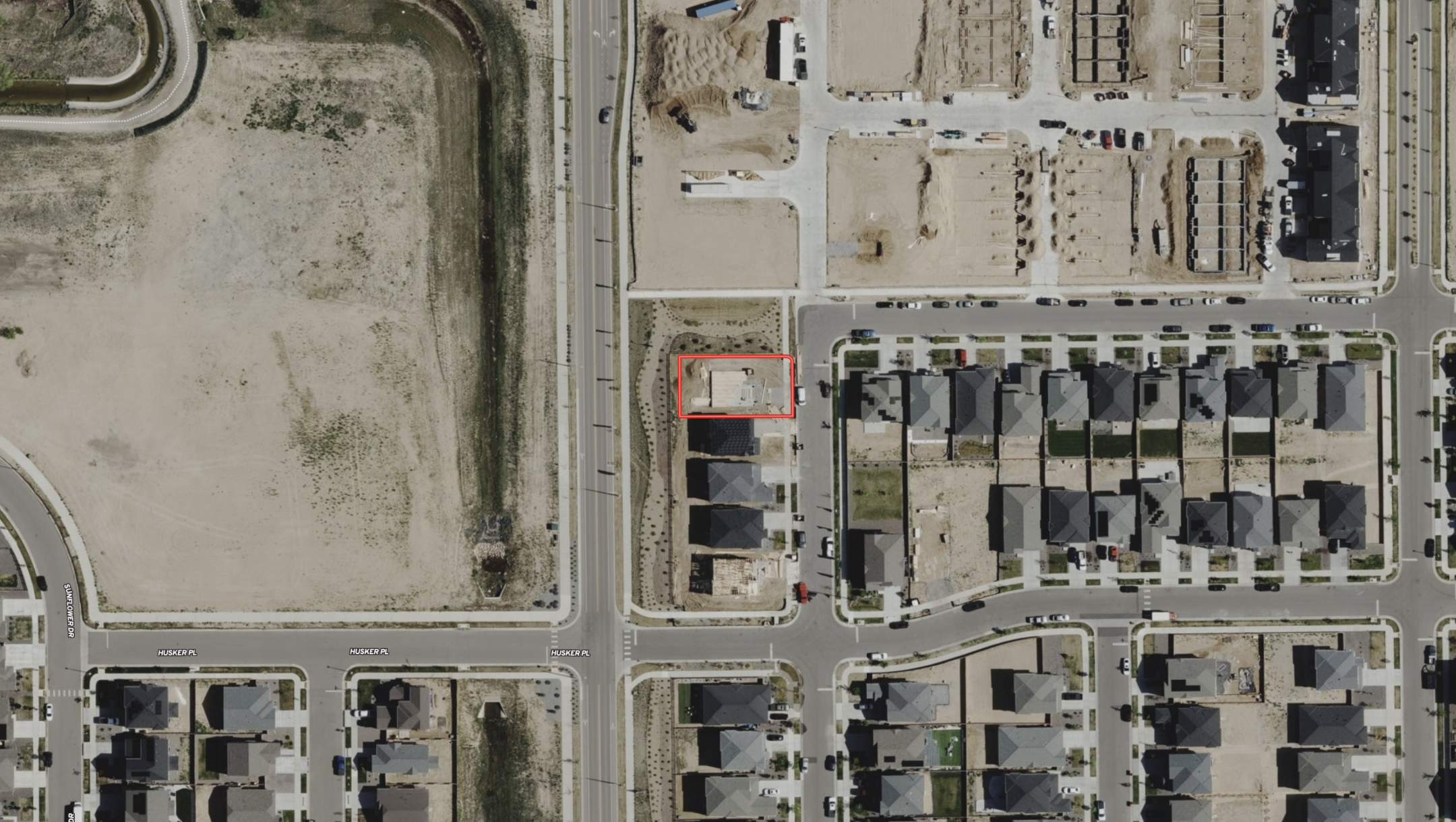
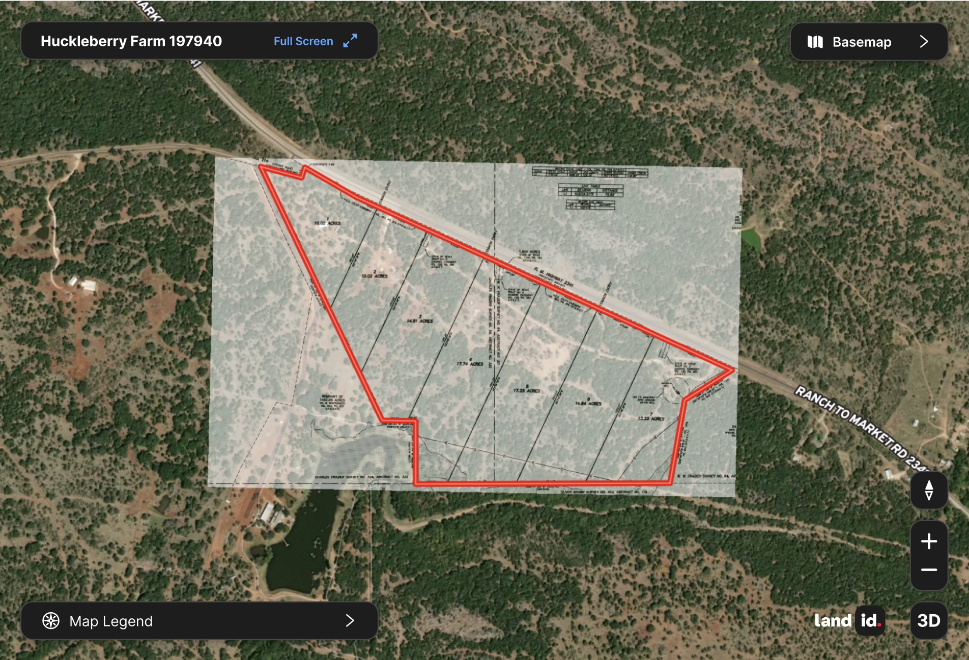
Easily overlay survey images, site plans, and visual guides on top of any map for accurate orientation and alignment.



No items found.
No items found.

Explore Private Parcel Data & Property Boundaries
Download the Land id app and try for free.
Make Your First Map in 3 Min.
Try for freeJoin 50k+ Real Estate Pros Using Land id.
Try for free
Land id®
Normal

Experience Land id® Overlays
Try it For Yourself
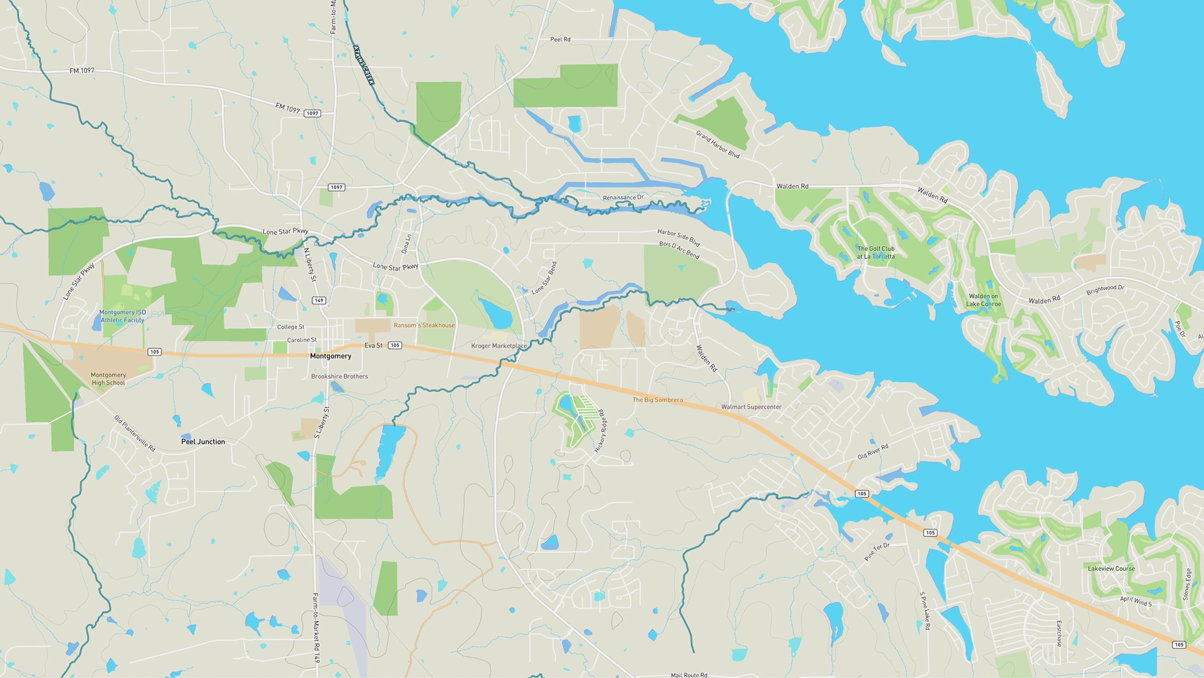
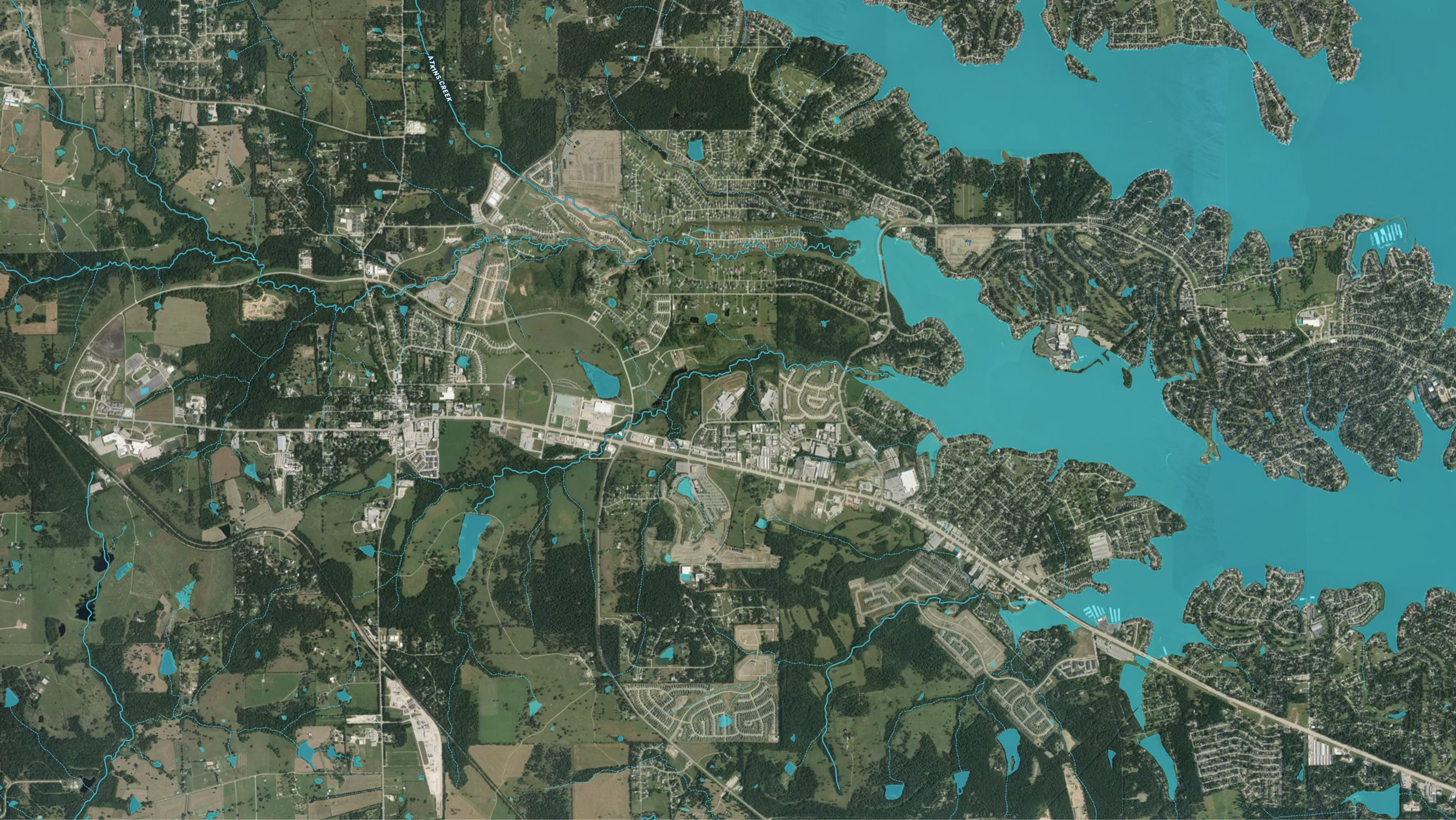
Select a tab below to explore Land id® map overlays and uncover hidden details of the land. Discover the wealth of information that lies beneath the surface.

Clarity & Precision
Plan Smarter
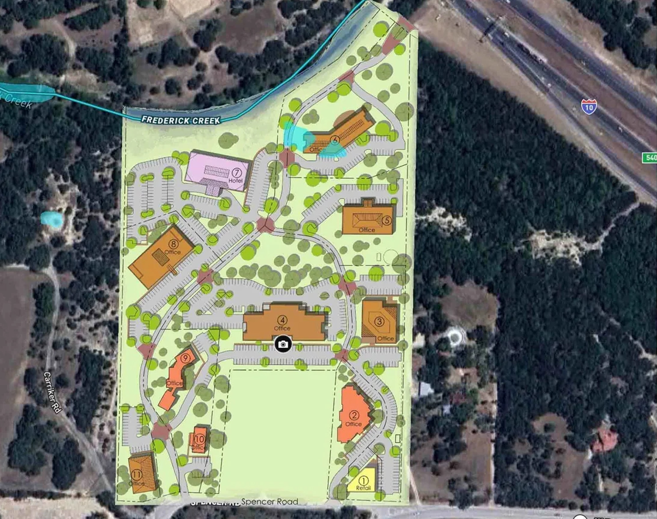
Get your plans in the right place without the guesswork. Just drop your survey or site plan onto the map and see it line up exactly where it belongs.
No items found.
No items found.
Make Your First Map in 3 Min.
Try for freeExplore Private Parcel Data & Property Boundaries
Download the Land id app and try for free.
Testimonials
No items found.


Survey Overlay Embed Map
See It in Action
Land id allows you to add multiple georeference images and integrate various GIS overlays and features, providing you with a complete land-mapping solution.
No items found.
No items found.
Explore Private Parcel Data & Property Boundaries
Download the Land id app and try for free.
Make Your First Map in 3 Min.
Try for freeJoin Land id & Start Designing in Canva Today
Try for free
Demo request received.
One of our experts will reach out shortly to schedule your demo.
Oops! Something went wrong while submitting the form.
FAQs
No items found.
Explore Private Parcel Data & Property Boundaries
Download the Land id app and try for free.
