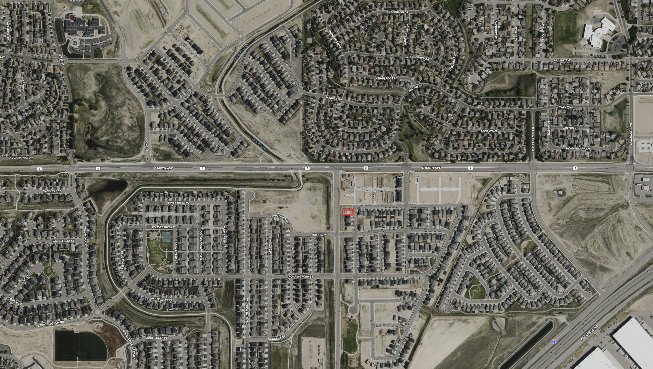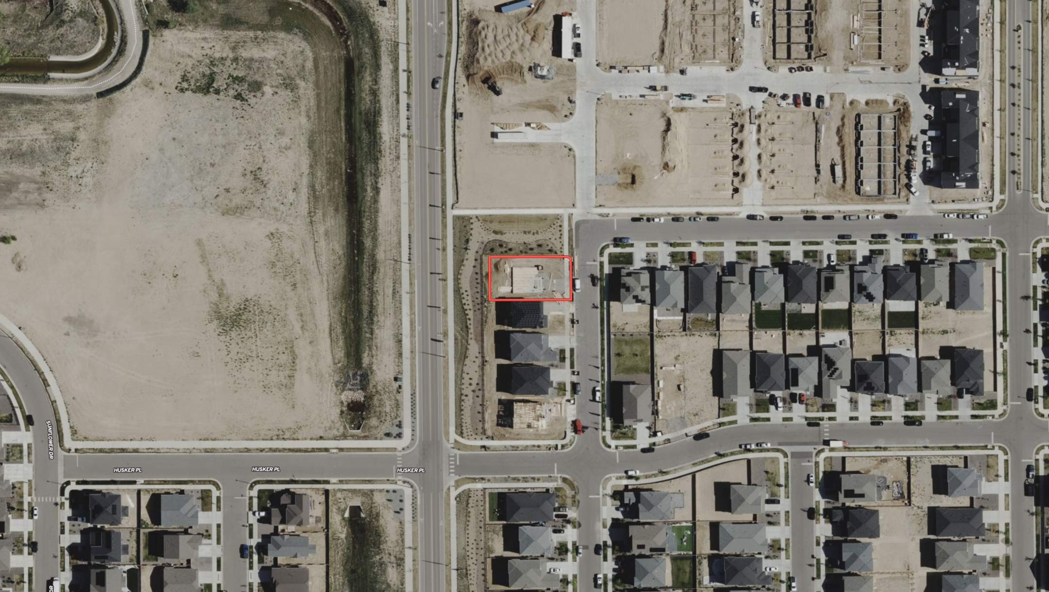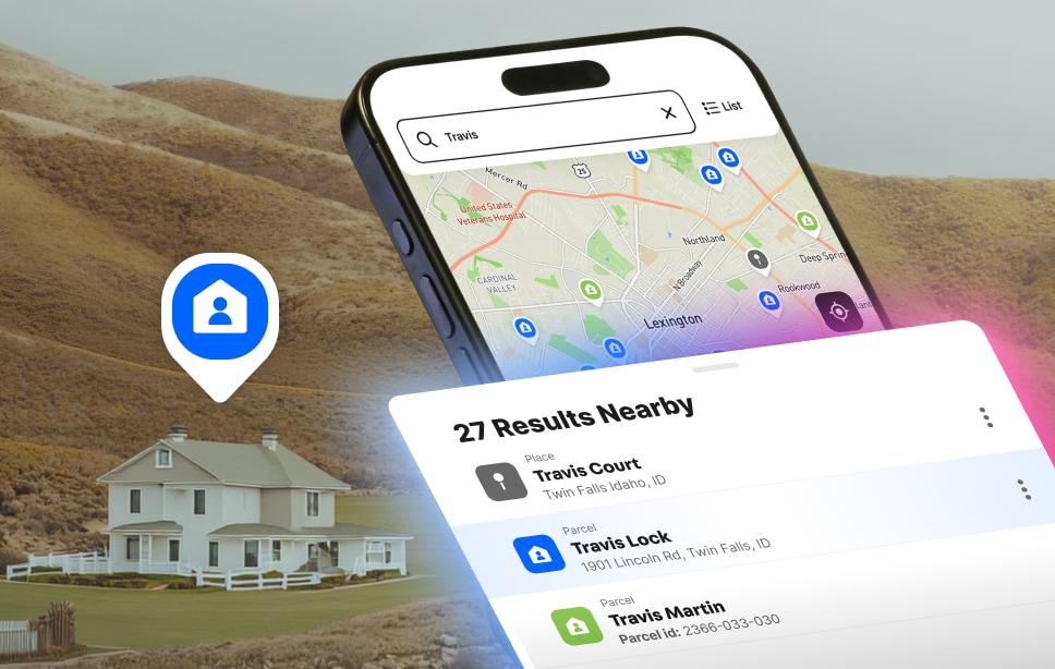
Use Land id to find property boundaries across the U.S., see where one property ends and another begins, and turn any parcel boundary into an interactive map you can use and share on desktop, mobile, or in the field.
Quickly explore property boundaries, along with detailed parcel info and interactive data layers, on desktop, mobile, and CarPlay.
Understand Property Like Never Before
Parcel Data That Gives You the Full Picture
From nationwide ownership and boundaries to land use, terrain, soils, infrastructure, and more, Land id brings the details that matter together so you can understand any property and act on what you find. Great for anyone needing detailed property data, from landowners to investors to agents and brokers.
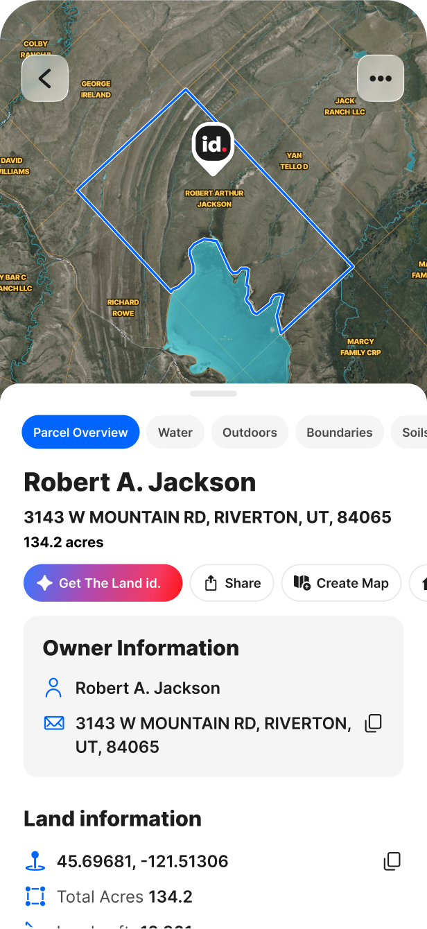
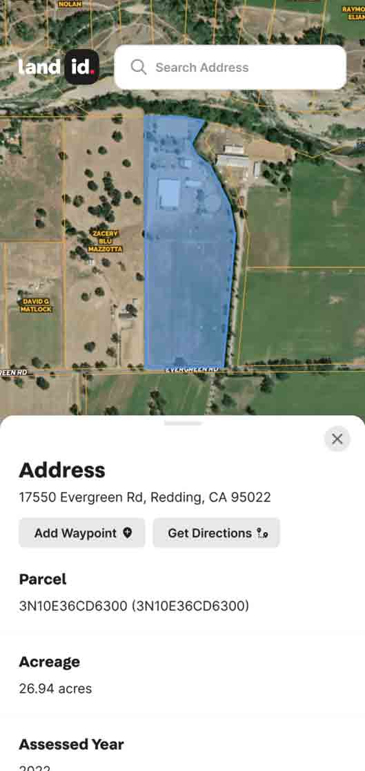
Complete Parcel Data in One Card
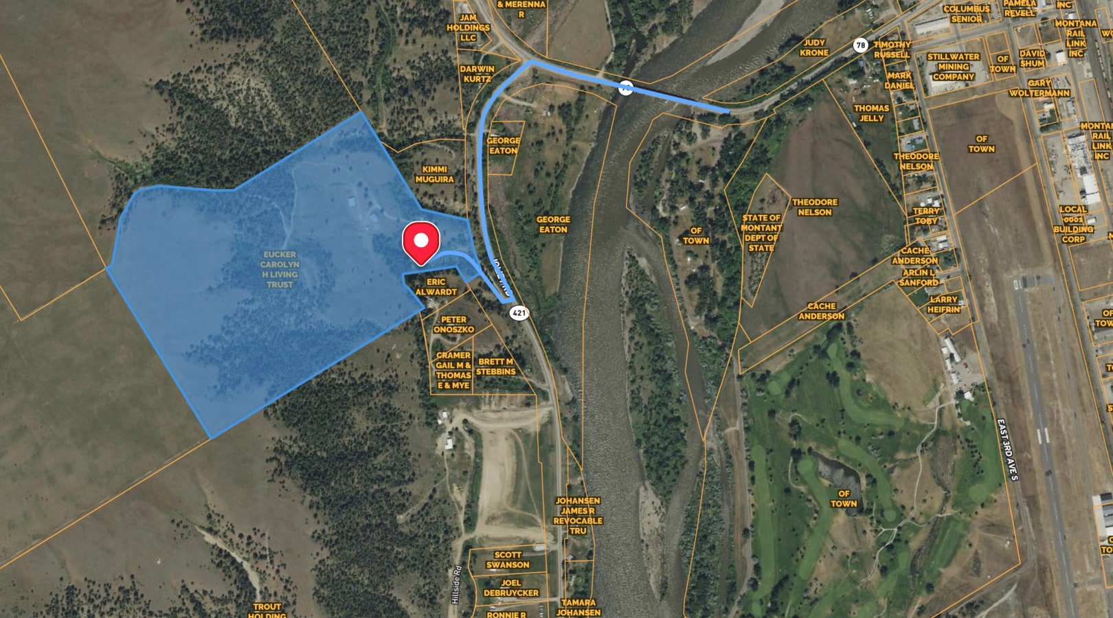
See owner names and property portfolios, mailing addresses, acreage, land use, and more alongside property boundaries, so you can quickly research a property, map what matters, and share what you find.
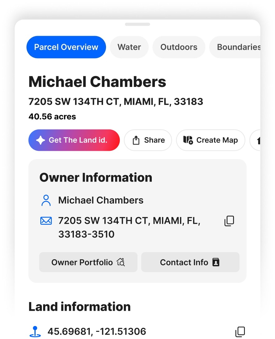
Get the Details Behind the Property
Uncover mortgage, assessment, ownership, valuation, and property lines— information that helps you understand what a property is worth, who owns it, and the details that could shape your next move.
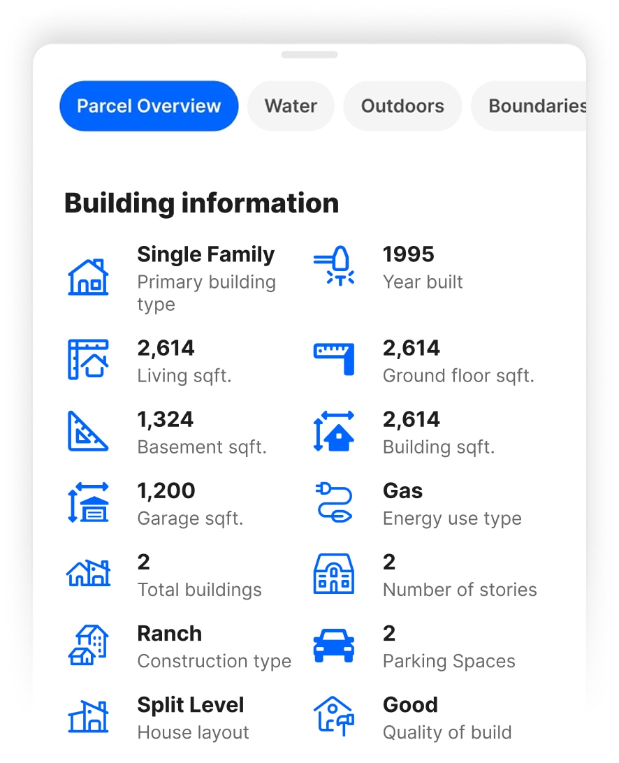
Understand What’s Built on the Property
Get key building details to understand existing structures, assess value, evaluate their impact on the property, and spot details that could affect your plans.
Complete Parcel Data in One Card
See owner names and property portfolios, mailing addresses, acreage, land use, and more alongside property boundaries, so you can quickly research a property, map what matters, and share what you find.
Get the Details Behind the Property
Uncover mortgage, assessment, ownership, valuation, and property lines— information that helps you understand what a property is worth, who owns it, and the details that could shape your next move.
Understand What’s Built on the Property
Get key building details to understand existing structures, assess value, evaluate their impact on the property, and spot details that could affect your plans.
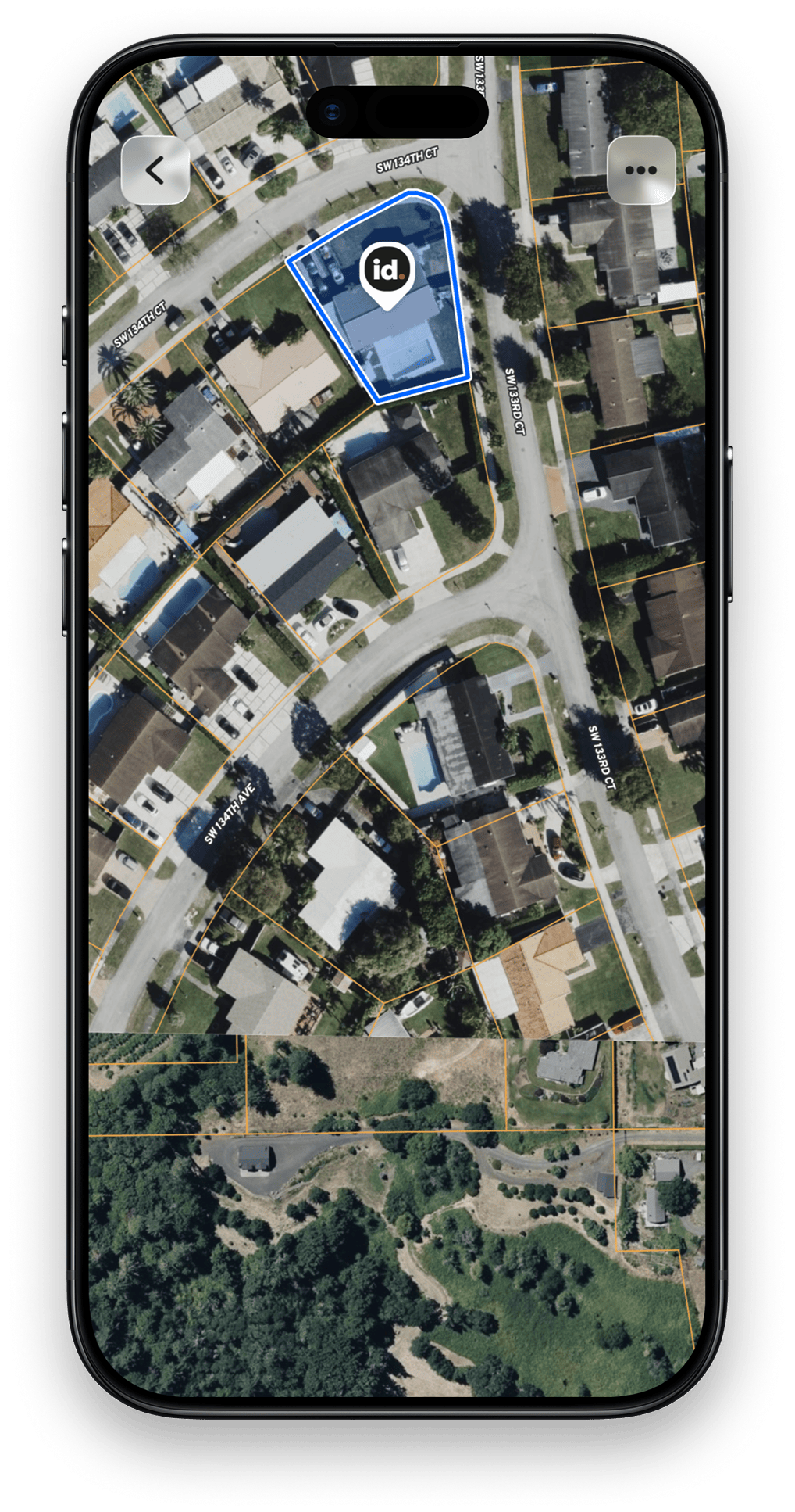
Property boundaries give you the lay of the land before you ever set foot on it. Find the parcel you need, see its shape and acreage in context, then use the boundary as the starting point for research, mapping, planning, or sharing.
Best Property Boundary App
Put Property Boundary Knowledge to Work
Property boundaries give you the lay of the land before you ever set foot on it. Find the parcel you need, see its shape and acreage in context, then use the boundary as the starting point for research, mapping, planning, or sharing.
Find the Right Property Fast
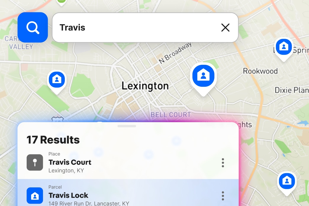
Search an address, owner name, APN, or coordinates and immediately see the property boundary on the map.
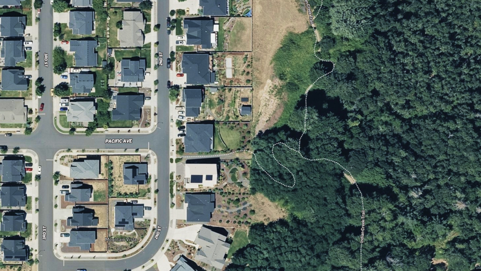
See Boundaries in Real-World Context
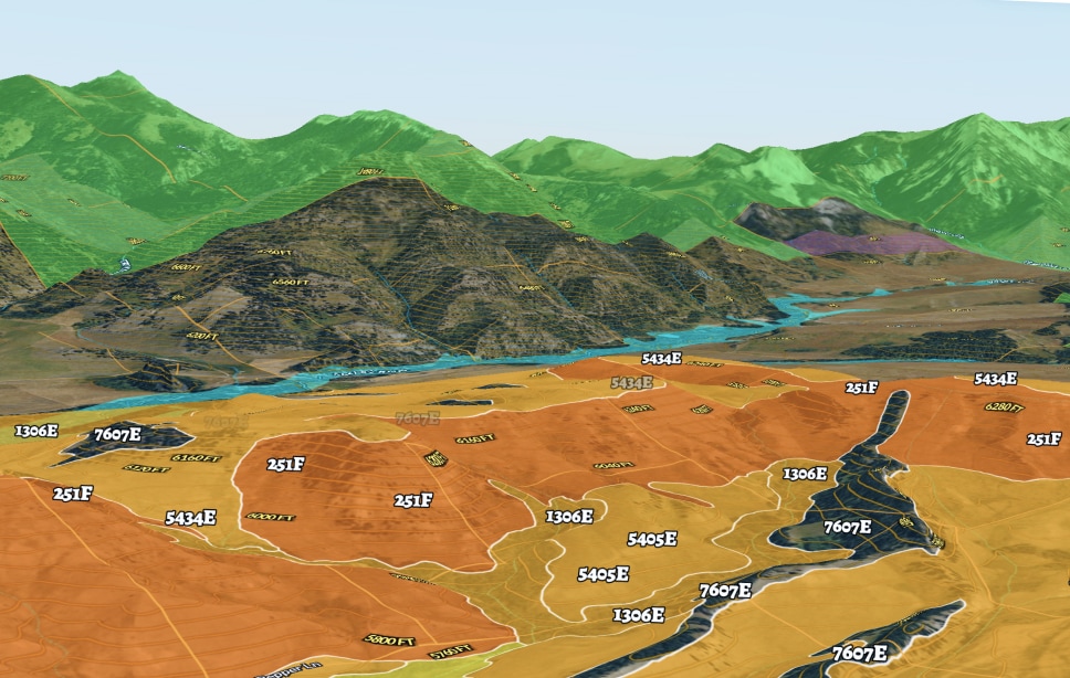
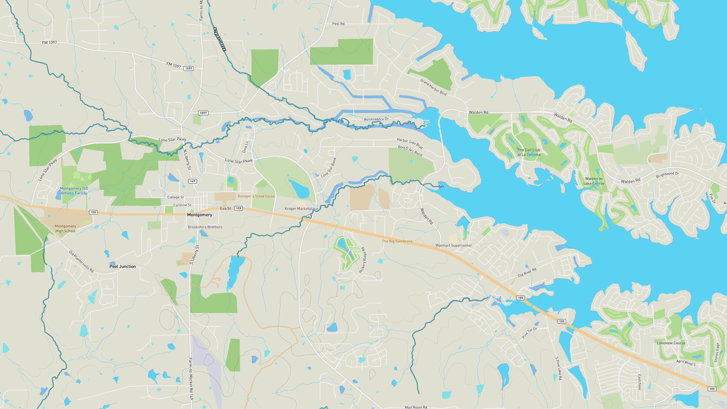
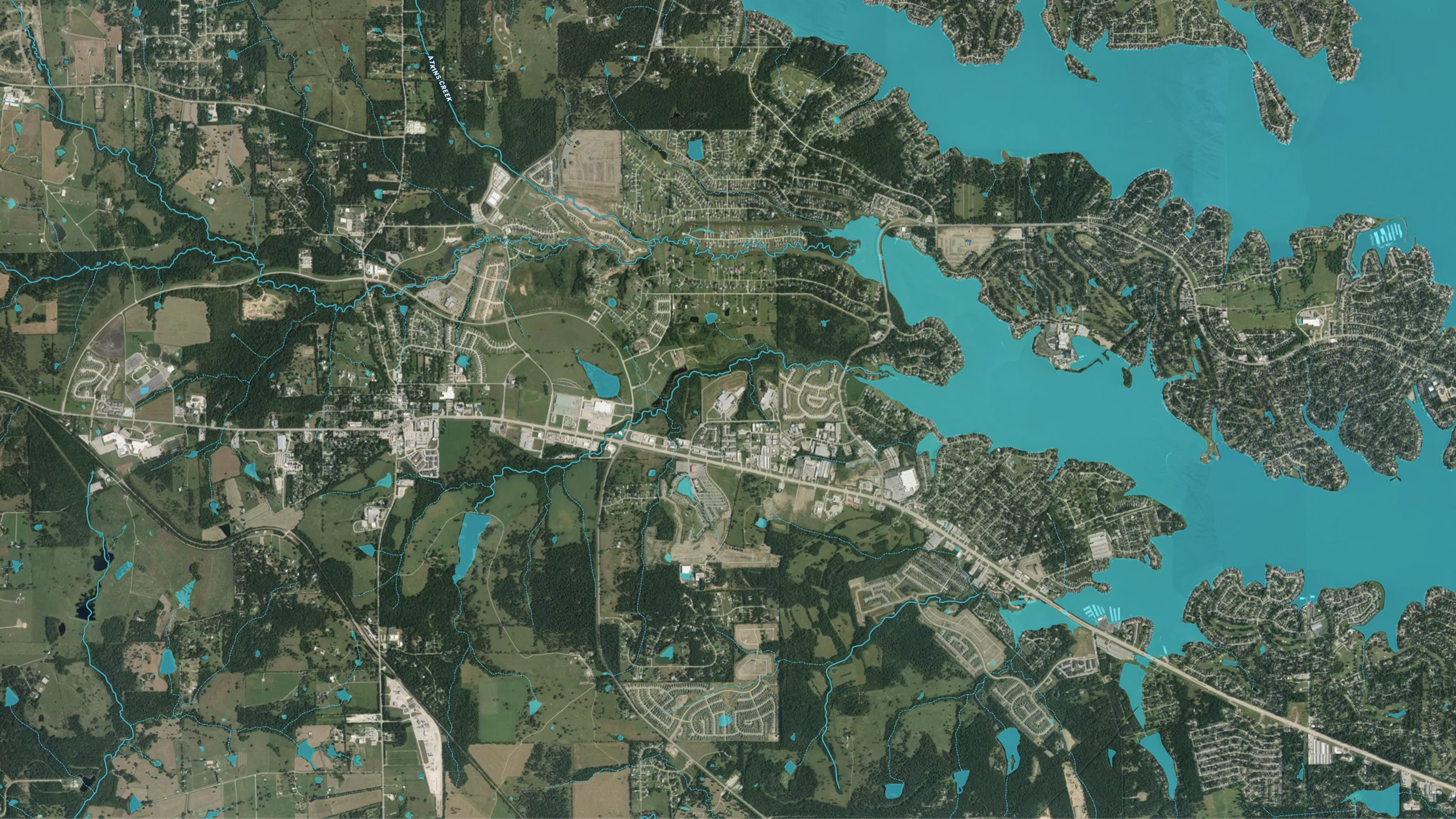
Switch between 3D view, satellite imagery, street maps, topography, and other views to understand where property lines sit relative to roads, buildings, terrain, and neighboring land.
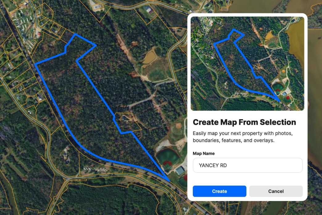
Turn a Property Boundary Into a Working Map
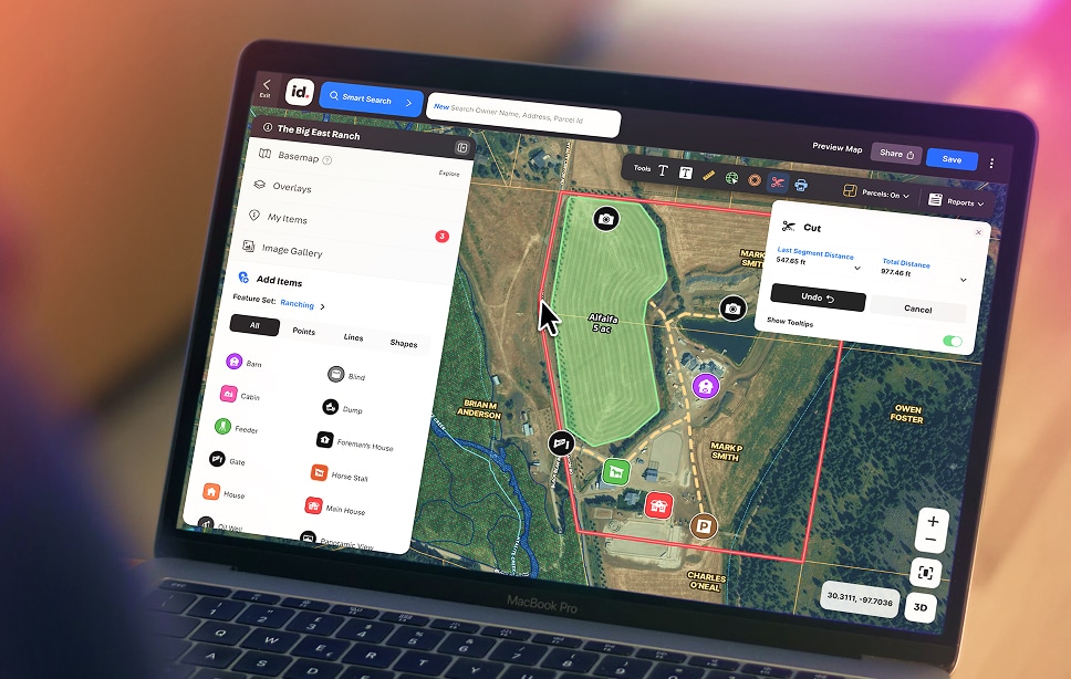
Start with an existing parcel, or select multiple adjacent parcels, instead of drawing from scratch. Select the boundary, create your map, and add the information you need for the job at hand.
Find the Right Property Fast
Search an address, owner name, APN, or coordinates and immediately see the property boundary on the map.
See Boundaries in Real-World Context
Switch between 3D view, satellite imagery, street maps, topography, and other views to understand where property lines sit relative to roads, buildings, terrain, and neighboring land.
Turn a Property Boundary Into a Working Map
Start with an existing parcel, or select multiple adjacent parcels, instead of drawing from scratch. Select the boundary, create your map, and add the information you need for the job at hand.
Select a tab below to explore Land id® map overlays and uncover hidden details of the land. Discover the wealth of information that lies beneath the surface.
Tap the cards below to view overlays
Plus, state-specific Gas Service Areas show natural gas utility coverage and service provider areas in Mississippi.
Mobile Property Boundary App
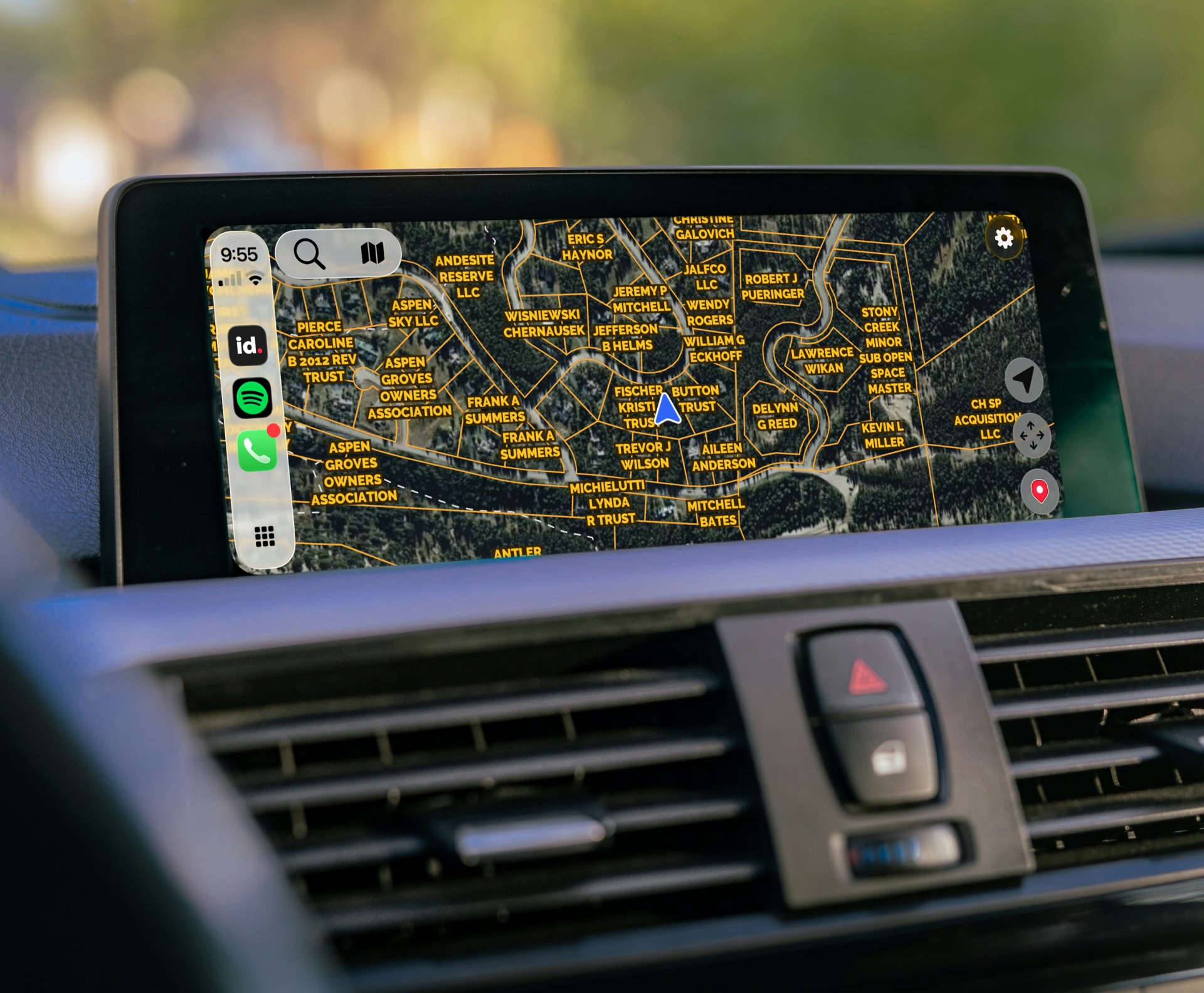
Take Property Lines Into the Field
Open Land id on your phone or Apple CarPlay dash to view parcel lines while you're walking land, touring a property, scouting an opportunity, or meeting someone on site.
Get the Land id to understand property like never before. See the complete property story, visualized and explained in plain language and shareable with a click.
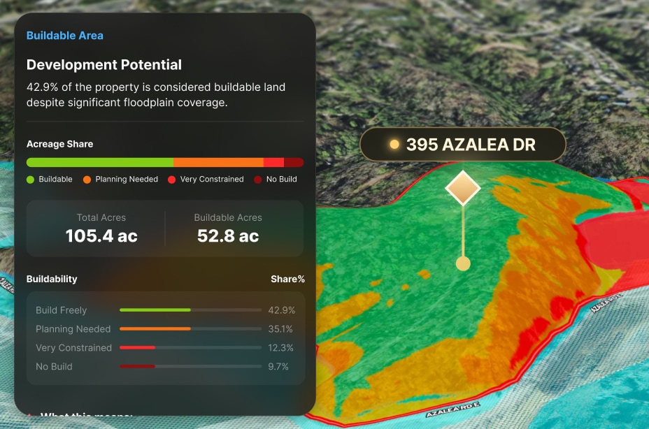
Toggle on flood zones, soil types, transmission lines, fiber optic service, water access, and more. Up-to-date data across 40+ overlays, so every decision has the full picture behind it.
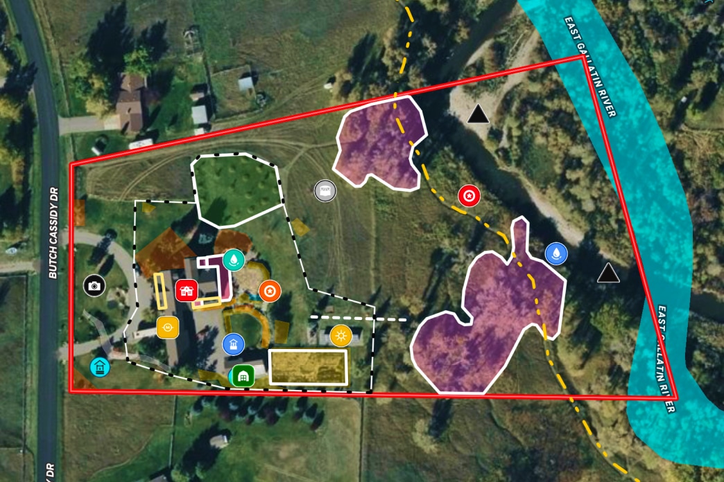
Create detailed maps in minutes—for planning, presentations, or personal use. Add boundaries, measurements, features, custom notes, or anything else to show off the property.
Get the Land id to understand property like never before. See the complete property story, visualized and explained in plain language and shareable with a click.
Toggle on flood zones, soil types, transmission lines, fiber optic service, water access, and more. Up-to-date data across 40+ overlays, so every decision has the full picture behind it.
Create detailed maps in minutes—for planning, presentations, or personal use. Add boundaries, measurements, features, custom notes, or anything else to show off the property.
Land id is amazing, and I don’t want my peers having the same advantage. I can say that this program is by far my most important tool.
Anonymous
There's nothing as comprehensive and easy to use out there.
Stephen J B Davis Christie's International Real Estate
I love all the attributes Land id has to offer. You guys are raising the bar and making it easier and better to use.
Legacy Land Group
Land id provides a lot of the information I need all in one place and reduces my research time quite a bit.
Angela Bruno City of Trees Real Estate
We use Land id for every property we look at and get under contract. It tells you so much about the property without ever having to step foot onto it. We also use it to create pictures to market properties.
Chris Thomas
Everyone I work with uses Land id® — it's the industry standard. If you're not using it, it's time to upgrade your professional tools and work smarter.
JB Family Office Real Estate Investor
No items found.
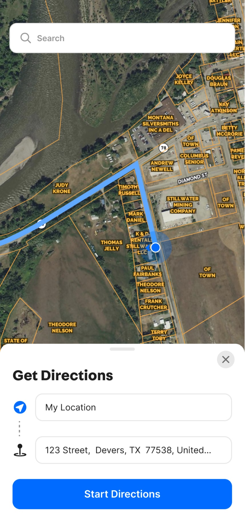
Get Driving Directions
Just Tap & Go
Land id® allows you to easily obtain driving directions that take you straight to your waypoint. Say goodbye to the hassle of getting lost and hello to a seamless navigation experience.
Get Driving Directions
Just Tap & Go
Land id® allows you to easily obtain driving directions that take you straight to your waypoint. Say goodbye to the hassle of getting lost and hello to a seamless navigation experience.
Get Driving Directions
Just Tap & Go
Land id® allows you to easily obtain driving directions that take you straight to your waypoint. Say goodbye to the hassle of getting lost and hello to a seamless navigation experience.
With Land id®, you can add as many panoramic images as you need to a map. Viewers will have the freedom to move around photos and zoom in and out as they learn about each area of a property.
Parcel data refers to comprehensive information related to land parcels, including ownership, boundaries, zoning, and structural details. It encompasses critical data such as owner names, addresses, and acreage and can include more specific data like mortgage and assessment information.
Why is accurate parcel data important?
Accurate parcel data is crucial as it ensures the reliability of property assessments, valuations, and transactions. It also helps avoid legal disputes over property boundaries and ownership, facilitating smoother real estate transactions by providing stakeholders with dependable information.
How is a parcel data map created?
A parcel data map is created by collecting and integrating detailed information on property ownership, boundaries, and other relevant data into a geographic information system (GIS). Land id® utilizes extensive datasets to build these maps, which can be quickly customized and shared online.
How can I access parcel data?
You can access extensive private and public parcel data nationwide using Land id®’s mapping app. Search for specific properties using APN numbers, landowner names, or addresses. Our user-friendly interface makes it easy to locate and analyze parcel information.
Can parcel data change over time?
Yes, parcel data can change over time due to various factors such as property subdivision, ownership transfers, rezoning, or changes in land use. Regular updates to parcel databases are necessary to reflect these changes and maintain the accuracy of the data.
What's the difference between a parcel boundary and a property line?
A parcel boundary is an official demarcation recorded in land registries that outlines the limits of a parcel of land. A property line, while often used interchangeably with a parcel boundary, specifically refers to the defined points where one property ends and another begins, as recognized in property deeds and legal documents.
Explore Private Parcel Data & Property Boundaries
Download the Land id app and try for free.
Get a Live Demo
Need to see a bit more? Sign up for a live demo today.
Intrigued with Land id® but want to see a bit more? Sign up for a live demo of our land mapping software with our experts today.