AI Insights that deliver the right answers about any property nationwide.
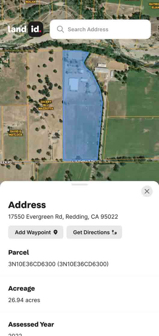
Get ownership data and parcel boundaries for any property in the U.S.
Create virtual property tours that help you market better and sell more.
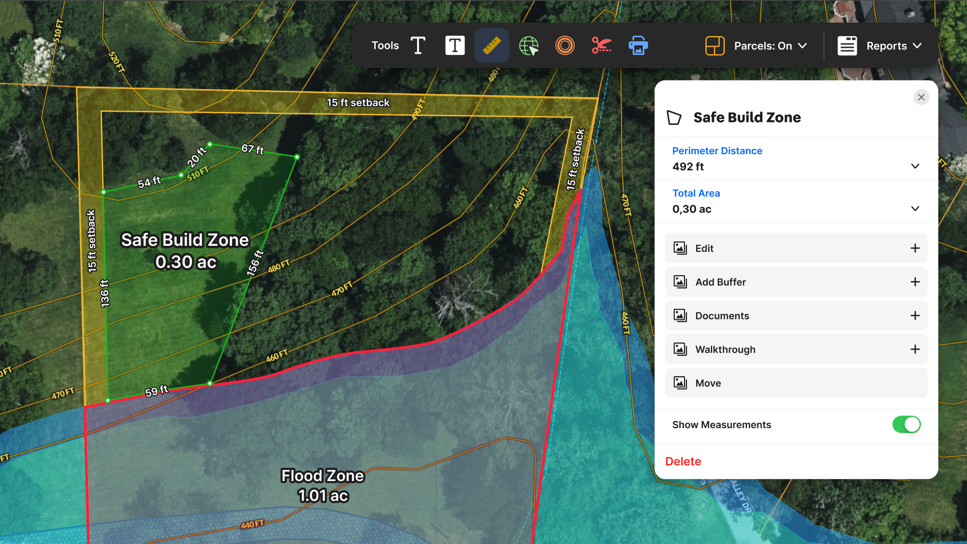
Create, manage, and share maps to keep property projects moving forward.
Webinars, demos, and docs to get started with Land id fast.
Documentation for account support, product tutorials, billing, and more.
Hire a Land id pro mapper for any project, from ranches to data centers to stadiums.
Industry trends, product tips and tricks, and Land id company news.
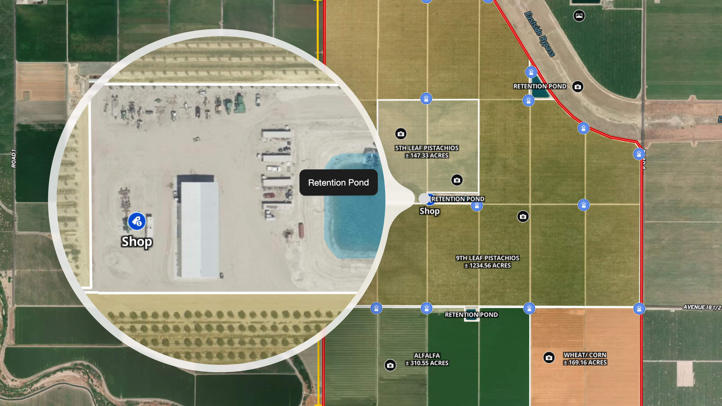
See Land id maps and tours made by real users.
Unlock revenue for MLSs, realtor associations, brokerages, and software products.
By
By Land id
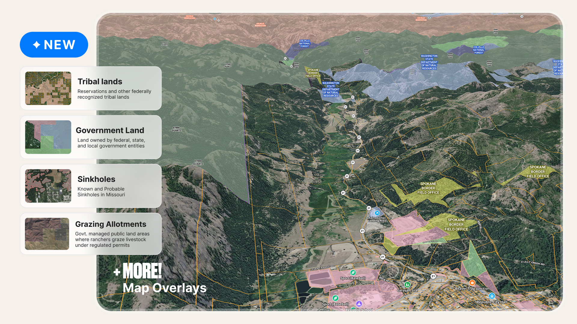
Explore cleaner public land boundaries, expanded grazing allotments, and improved property data in Land id to research properties with confidence.
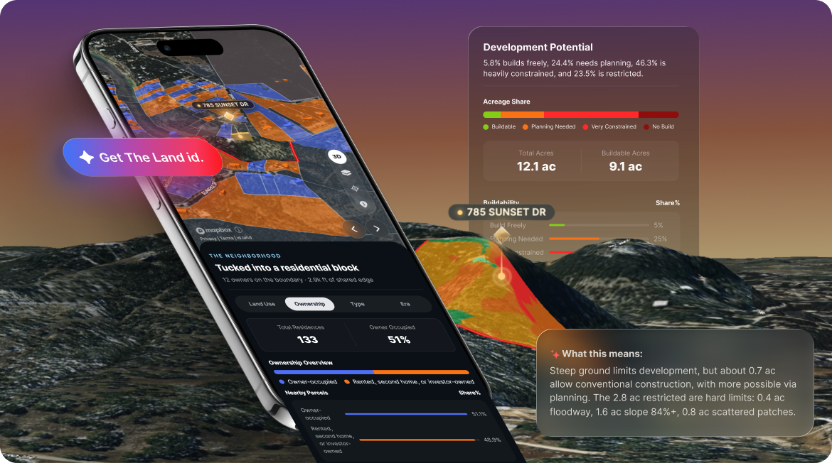
Introducing The Land id, our new AI-powered property insights that turn property data into the right answers for any property in America.
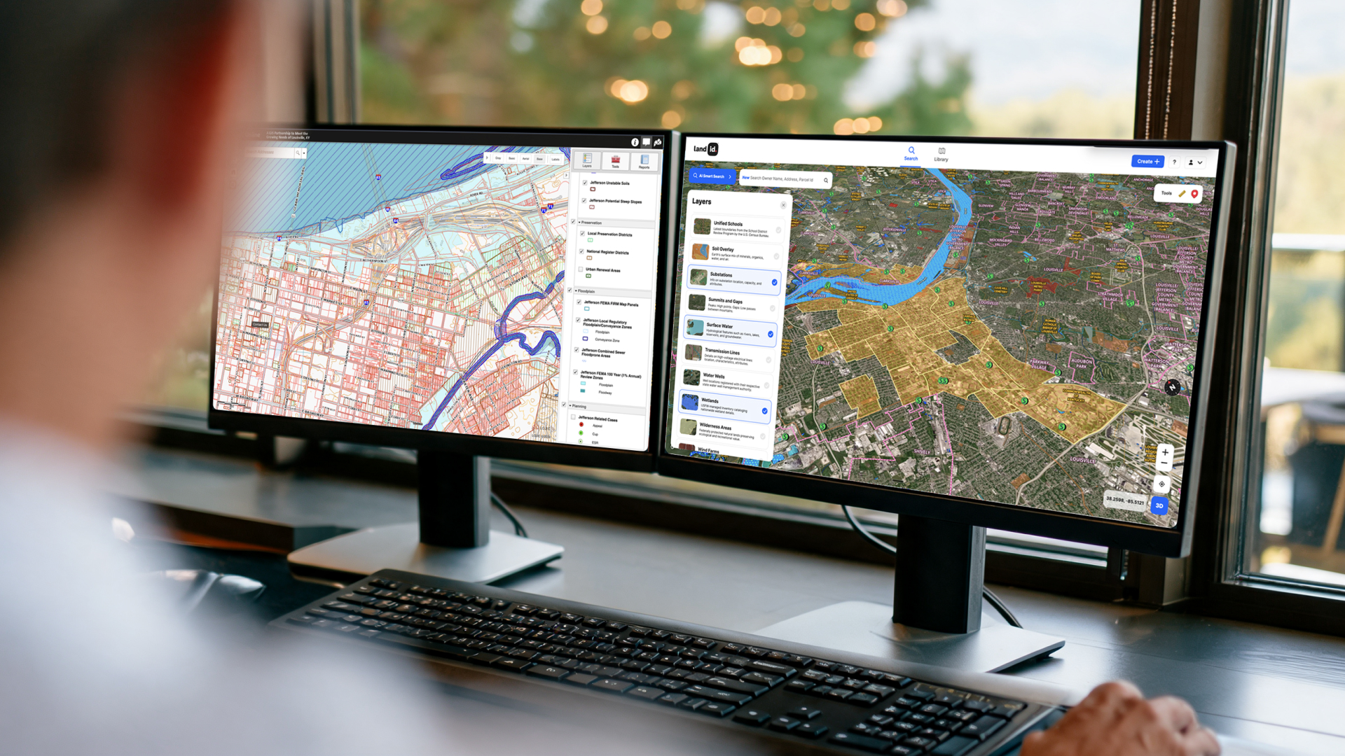
Compare Land id vs. county GIS for property research. Understand differences in parcel data, property boundaries, data overlays, mobile access, and more.
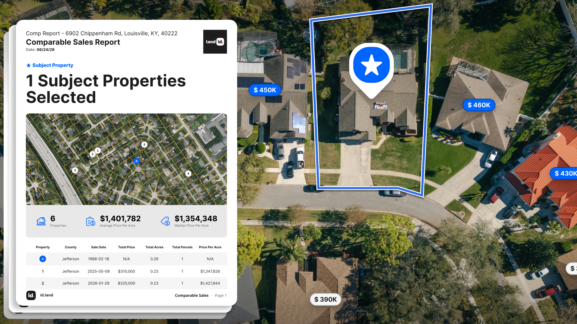
Learn the difference between comparable sales reports and full appraisals, including costs, timelines, use cases, and when you need each for property valuation.
Learn how to accurately measure land area on an online map for your listings with this step-by-step guide for real estate agents.
Our newest features deliver more useful property context, where and when you need it most.
Learn how high-resolution aerial imagery from Land id helps ag professionals assess fencing, water, vegetation, infrastructure, and land conditions faster.
Sorry, we don't have any articles that match your search. Try resetting your filters.

Download the Land id app and try for free.