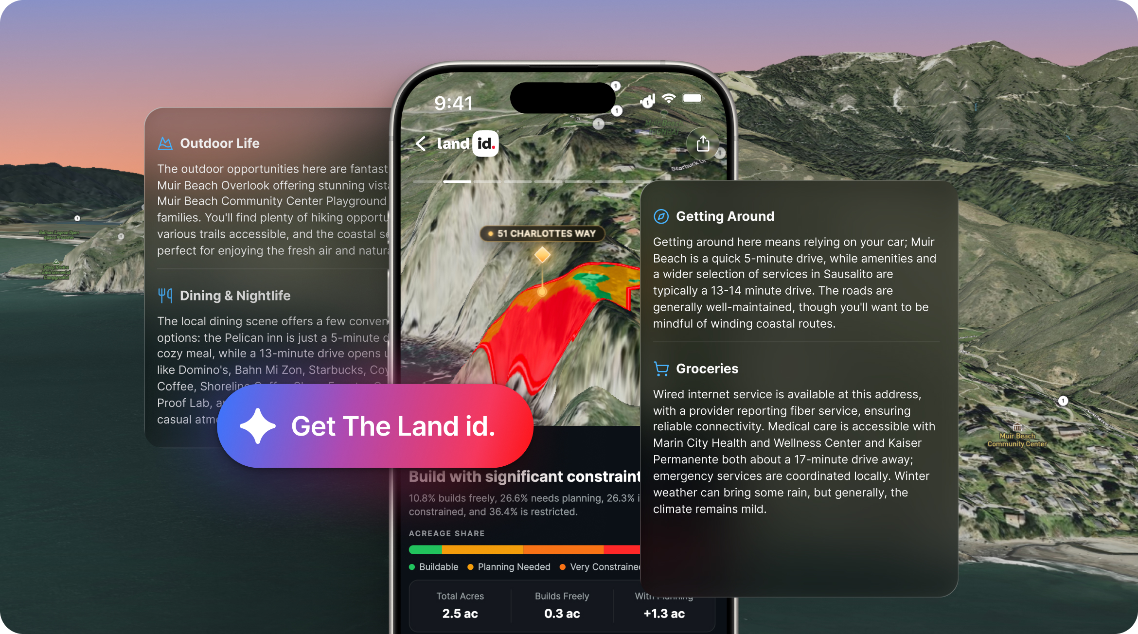
AI Insights that deliver the right answers about any property nationwide.
Get ownership data and parcel boundaries for any property in the U.S.
Create virtual property tours that help you market better and sell more.
Create, manage, and share maps to keep property projects moving forward.
Webinars, demos, and docs to get started with Land id fast.
Documentation for account support, product tutorials, billing, and more.
Hire a Land id pro mapper for any project, from ranches to data centers to stadiums.
Industry trends, product tips and tricks, and Land id company news.
See Land id maps and tours made by real users.
Unlock revenue for MLSs, realtor associations, brokerages, and software products.
By Craig Rowe
By Land id
Discover five ways to use Land id AI Insights to evaluate properties, highlight selling points, answer buyer questions, and upgrade your listing pages.
By
A real estate agent’s job is much more than buying and selling properties; a realtor must also be an expert analyst, both for themselves and for their clients.
Investing in real estate is one of the most surefire ways to make a profit, but if you don’t understand the risks involved, it can also be one of the quickest ways to lose a lot of money.
What is a Topographic Survey?
An outcome of the 2017 Tax Cuts and Jobs Act, the Qualified Opportunity Zone Program is designed to incentivize investors to invest in low income and undercapitalized communities, areas normally not considered.
In its simplest form, A deed is a legal document transferring ownership rights from one party to the next. Many deeds dating back to the 1800s are still in use today; so while it will define the property's boundaries, it doesn’t usually do so in plain English.
At Land id®, we don’t just have a passion for helping you create beautiful maps.
Sorry, we don't have any articles that match your search. Try resetting your filters.

Download the Land id app and try for free.