

At Land id® (formerly MapRight), we don’t just have a passion for helping you create beautiful maps. We also dedicate ourselves to making sure you can easily share them with your audience. Although, it does beg the question: are maps copyrighted? After all, the nature of GIS calls for the utilization of a lot of publicly available data sources, and moreover, how can the land be copyrighted?
The answer is, in short, yes. Maps can be subject to copyright laws, but much like everything else to do with copyright laws, it’s a little more complicated than that.
The Rights of Map Creators
Under copyright law, maps should be treated like any other artwork or intellectual property (IP). This means that generally, nobody should publish a map that isn’t owned by them without specific permission from the author or owner. It’s the copyright owner who has the right to decide where a map is published. Without their consent, you can’t publish a map on a website, in a book, in your newsletter or on social media. Even crediting the author or owner of a map is not enough to avoid copyright infringement.
There are, of course, a few notable exceptions for copyright law known as “fair use”.
Fair Use
Under fair use, images, text and other works such as maps that would otherwise be protected under copyright law can be used without getting the author’s permission. There aren’t any strict rules governing a fair use case, but the law does provide some (somewhat) helpful guidelines outlined in Section 107 of the Copyright Act. Copyrighted work can be used “for purposes such as criticism, comment, news reporting, teaching (including multiple copies for classroom use), scholarship, or research”.
Section 107 also explains how a case of fair use is determined. A few factors are considered:
- The purpose and character of the use
- The nature of the copyrighted work
- The amount and substantiality of the portion used in relation to the copyrighted work as a whole
- The effect of the use upon the potential market for or value of the copyrighted work
Public Domain
Maps can also be in the public domain and thus available for general use. There are several reasons a map may be in the public domain:
- If it was created by the federal government or a federal employee
- If the copyright for a map has expired (essentially any map created before 1923)
- If a map was published before 1989 without a proper notice of copyright
- If a map doesn’t meet “originality” or “minimal creativity” requirements
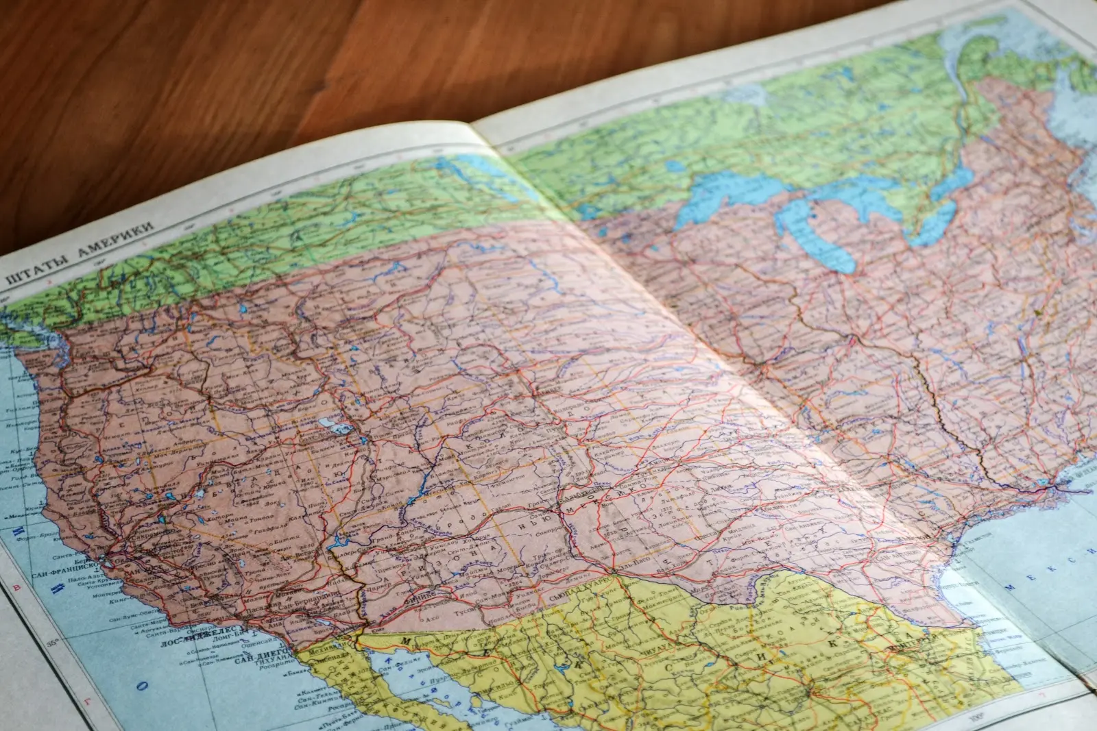
If the components of a map seem “entirely obvious”, then a map is not copyrightable and can be used by anyone. An example of this is a map of the US that shows the state boundaries - this is not original or unique enough to meet copyright requirements.
The Right Way to Share Maps
In Land id®, there are several ways to easily share your maps. You can email them, text them, embed them on websites - it’s all up to you. Whenever you create and share a Land id® map, your viewers will be able to interact with it and really learn the lay of the land as if they were there. Embed photos and videos, draw boundaries, create custom databases, turn on and off Land id® layers - include as much information as you need to.
Land id® makes GIS technology accessible to everyone from agriculture to real estate professionals. You can make and share your first map in a matter of minutes, so don’t waste time contending with cumbersome government data sources or questionably sourced maps. Create custom, interactive maps with Land id® today.
FAQs
Continue Reading
Craig Rowe
5 Real-World Land id Workflows Worth Borrowing
.png)
By Land id
See helpful examples of how real estate pros use Land id to win listings, market properties, plan developments, and make smarter data-driven decisions.
Alyssa Toohey
Off the Map & In Person: The Land id Team Gets Together

By Land id
The Land id team came together in Montana for collaboration, connection, Big Sky views, PBR, Yellowstone, and plenty of memorable moments.


Explore Private Parcel Data & Property Boundaries
Download the Land id app and try for free.
