

What is a Topographic Survey?
A topographic survey is often the first step when buying, developing, or evaluating land. This form of land survey shows the exact location of both human-made and natural features, but unlike most surveys, it’s focus is vertical as well as horizontal. The purpose of a topographic survey is to determine changes in elevation on a parcel of land, providing us with a wealth of information regarding the property. In many cases, a topographic survey is an essential step in planning land use, as not all areas are suited for all projects.
When Do You Need a Topographic Survey?
Most people want to have as much information as possible before beginning a project, and topography is no exception. Elevation has a considerable impact on land usability, and missteps in that department can be your downfall (pun intended). However, if you can find the issues before it’s too late, there’s often a simple solution (such as relocating building locations, adding proper drainage, leveling the ground, etc.). While it’s always a good idea to conduct a topographic survey, there are some instances where it’s absolutely necessary.
Right-of-Way Acquisition
Right-of-way acquisition is a common way to purchase land from another entity or individual. Typically, one party transfers the full rights to a property in exchange for fair monetary compensation. The property’s topographic features play a significant role in what that land can be used for; accordingly, you’ll want to know about any possible issues before investing in the property. This is especially true for businesses hoping to develop portions of the land; it would be a shame to spend a few million on land ultimately unfit for construction.
When Installing Runoff Management Systems
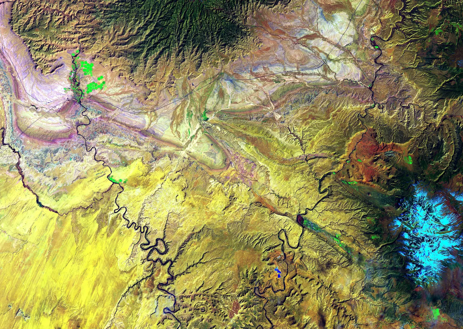
Runoff is the excess water from irrigation, precipitation, and melting snow. The earth absorbs some of this water, but a great deal is pulled by gravity into nearby water sources. During its journey, the water carves away at the landscape, eventually reaching and refilling rivers and lakes.
Runoff is a natural occurrence (and can even be beneficial to the environment), but a mismanaged irrigation system can be detrimental. Runoff water picks up all sorts of things as it moves downhill, including bacteria, waste, minerals, or worse of all: pollutants such as oil, grease, and pesticides.
If you plan on purchasing land, you may need to conduct a topographic survey to find out erosion patterns. Even subtle elevation changes can have a drastic effect on the ground; if you know the water’s path, you can adjust how you plan to use the property accordingly.
Grading
One way to combat problematic runoff is grading, the process of reshaping the land’s surface by moving rocks, plants, and soil. Grading can offer a number of benefits, especially for irrigation and water management. Farmers often grade their land so it is more suitable for their irrigation system. Of course, it’s important to note that the soil must remain deep enough for the roots to get the nutrients they need.
While grading is extremely useful, if done haphazardly, grading can cause more harm than good. Without a solid understanding of the land’s topography, you face the risk of soil instability, excessive erosion, drainage issues, and in extreme cases - natural habitat destruction.
Drainage Pipes
Not all land has enough naturally occurring internal drainage, so they may need drainage pipes to prevent heavy rains from oversaturating the earth. This is common with flat or sunken lands, dense soils, or excessively salty earth.
Surface drainage, appropriately named, is the removal of excess water from the soil’s surface. Often, surface drainage involves creating a downward slope for the water to travel through.
Subsurface drainage, though pricier, is usually the better option if the water table is fairly shallow. Here, perforated pipes are installed underground in order to remove extra water and subsequently lower the water table. The pipes then carry the water to it’s designated outlet, typically a grassy waterway or ditch.
Large Infrastructure Projects
Under no circumstances do you want to develop large buildings or highways on structurally-unsound land. Luckily, if you know what you’re dealing with topography-wise, there are many ways to make that land better suited for infrastructure.
For overly steep properties, grading may be required before construction projects can begin. You may also need to slope the land so that water flows away from buildings or other infrastructure in order to prevent pooling. However, with most large infrastructure projects, you’ll want to conduct a topographic survey before purchasing the land. The topography of a property plays a huge role in determining what that land can be used for; the more re-sloping you have to do, the more you’re going to have to spend.
Environmental Restoration
Topography also has major impacts on the environment; mountain ranges can change wind and rain patterns, higher altitudes have colder temperatures, canyons intensify winds (and the accompanying erosion), etc. While we can’t entirely prevent environmental destruction, observing changes in topography over time can shed some light on what we’re dealing with. This is especially important for larger plots of land. Substantial properties tend to have a good deal of variation in elevation, meaning they host a number of unique ecosystems.
The Mandela Effect is perhaps the strongest when it comes to nature; even seemingly minor changes to the land can permanently alter the ecologic landscape. For this reason, it’s crucial we keep a very close eye on the environmental impacts of our land use. Luckily, with a topographic survey, we can not only track our impact but work to reverse it as well. One example of this is how we deal with deforestation. Topographic maps can show where trees have been cut down, how the topography has changed as a result, and ample insight on how to bring that ecosystem back to life.
Permitting Requirements
Depending on the location, some lands may require a topographic survey for preservation plans. This can happen when governing bodies have restrictions on the disturbance to local flora and fauna. In these situations, you’ll definitely need a permit, and likely a plan to replace the vegetation that development destroys.
Construction is another scenario where you may need a topographic survey to meet permitting requirements. Overly steep or unstable land isn’t usually zoned for development - it poses too great a safety risk. A topographic surrey can prove the land is fit for development; and if it doesn’t, at least you’ll know exactly what needs to be done to get the land in working condition.
Conducting a Topographic Survey with Land id®
For the novice cartographer, creating a topographic survey may seem like a formidable task. With Land id® (formerly MapRight), it doesn’t have to be. Our user-friendly platform allows you to embed photos and videos, draw boundaries, create custom databases, turn layers on and off, georeference site plans on your maps and more. Our maps are powered by GIS technology, so the data you get is data you can trust. Using Land id®, you won’t just have access to topographic data and contour lines for any property, you’ll also be able to quickly compile information about water features, ownership information, neighboring properties and more.
If you think creating a comprehensive, accurate and easily shareable map in just three minutes is impossible, then you obviously haven’t tried Land id®. Start a free 7-day trial today to get started!
FAQs
Continue Reading
Craig Rowe
How Factory-Built Housing Can Reshape America’s Housing Market
.png)
By Land id
The U.S. housing industry’s decade-plus-long inventory challenge could see its first true sign of resolution should the 21st Century Road to Housing Act become law.

Craig Rowe
Can Refurbishing Schools Help Solve Housing Issues?
By Land id
Old public schools are becoming apartments as enrollment drops. See why school-to-apartment conversion is adaptive reuse's fastest-growing niche.


Explore Private Parcel Data & Property Boundaries
Download the Land id app and try for free.
