AI Insights that deliver the right answers about any property nationwide.
Get ownership data and parcel boundaries for any property in the U.S.
Create virtual property tours that help you market better and sell more.
Create, manage, and share maps to keep property projects moving forward.
Webinars, demos, and docs to get started with Land id fast.
Documentation for account support, product tutorials, billing, and more.
Hire a Land id pro mapper for any project, from ranches to data centers to stadiums.
Industry trends, product tips and tricks, and Land id company news.
See Land id maps and tours made by real users.
Unlock revenue for MLSs, realtor associations, brokerages, and software products.
By
By Land id
Real estate storytelling turns property data into answers buyers can follow and sellers can trust. See how agents use Land id AI Insights at every showing.
The ultimate guide to understanding the key differences between raster vs. vector data and their practical applications in GIS to enhance your mapping projects.
Discover the top six ways to find out who owns a house, building, or piece of property.
Pricing raw land can be tricky. The right property data software can eliminate the guesswork, speed up the process, and help you defend pricing.
Craig Rowe
By Craig Rowe
Discover five ways to use Land id AI Insights to evaluate properties, highlight selling points, answer buyer questions, and upgrade your listing pages.
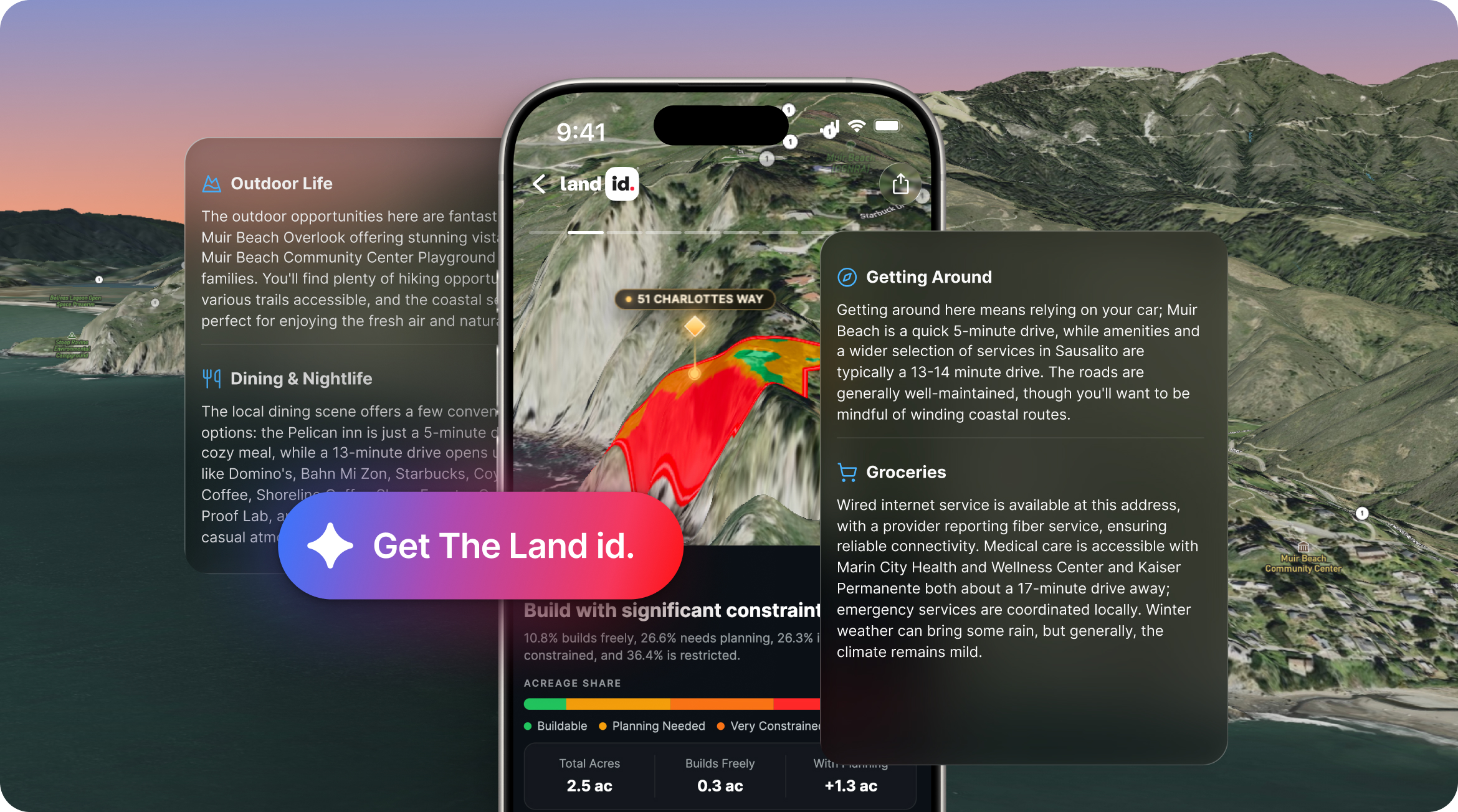
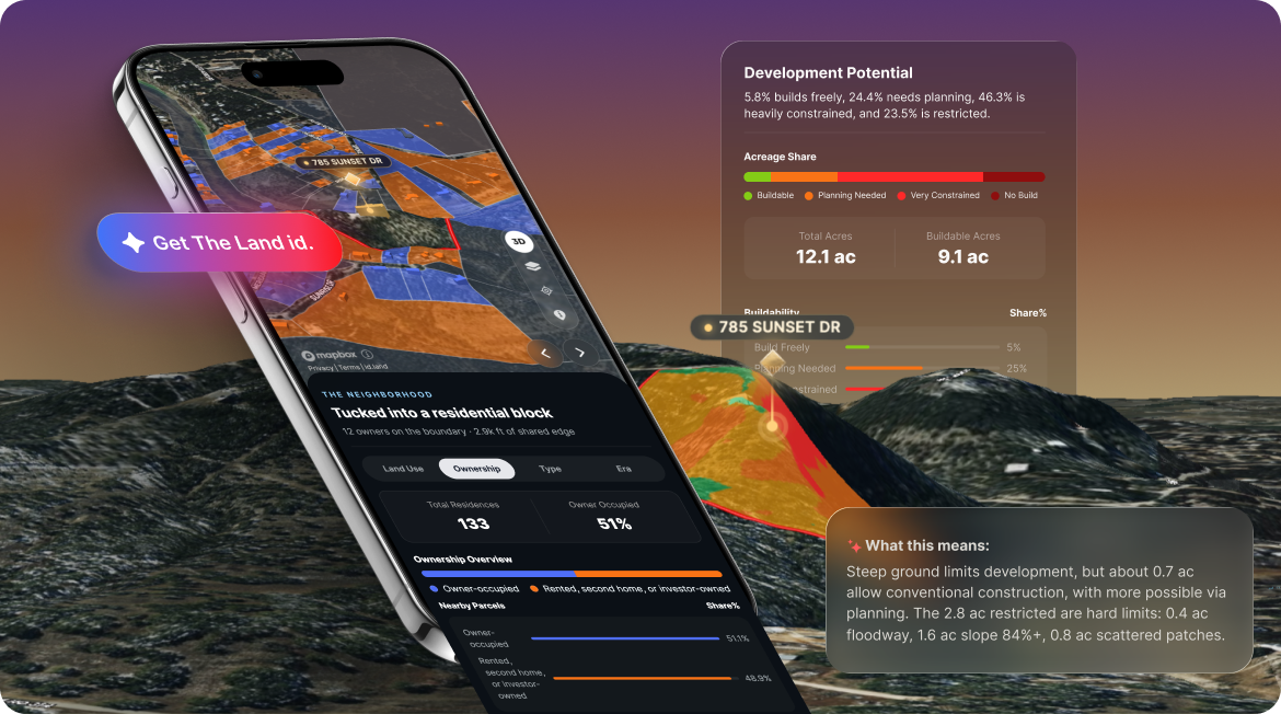
Introducing The Land id, our new AI-powered property insights that turn property data into the right answers for any property in America.
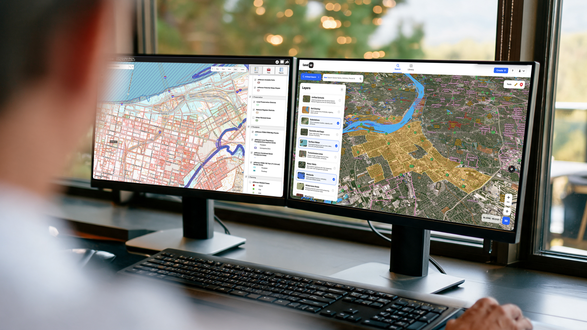
Compare Land id vs. county GIS for property research. Understand differences in parcel data, property boundaries, data overlays, mobile access, and more.
Sorry, we don't have any articles that match your search. Try resetting your filters.

Download the Land id app and try for free.