

When you think of creative jobs, farming isn’t often the first occupation to come to mind - but maybe it should be. Managing a farm requires a significant amount of creative problem-solving in order to best use (and avoid destroying) the land. Luckily, farm mapping technologies have made it possible for farmers to get notably more useful and accurate data.
The Many Uses of Farm Mapping
Crop Rotation
Different plants require different nutrients, so they impact the soil in different ways. When the same crop is planted season after season, that crop drains the earth of the nutrients it requires, and eventually, the soil can become seriously lacking in those nutrients. Because of this, one of the most substantial benefits of rotating crops is the return of vital nutrients to the soil. Plants such as peas and beans are often used in a crop rotation to add nitrogen to the earth, and swapping between deep-rooted and shallow-rooted plants allows the soil to get nutrients from differing depths.
Many a pest spends its larval stage in the soil, and if that pest feeds off a specific type of crop (as they often do), they will become more and more challenging to manage as time goes on. Luckily, crop rotation can help mitigate this issue; insects don’t tend to thrive when their food source moves location every year. The same concept holds true for weeds; a weed that thrives in one crop may suffer in another.
Farm mapping software is a crucial piece of successful crop rotation, as it can take a great deal of planning. Luckily, with GIS technology, farmers can not only map out where their crops go, but look at the land holistically. Elevation and irrigation are just as important to the earth as the plants that inhabit it - insight on the exact conditions of a piece of land will allow you to make the best use of it.
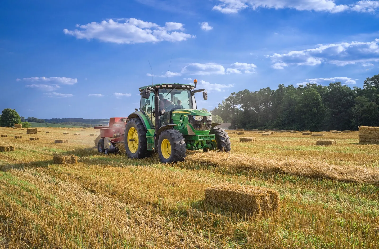
Grazing Rotation
Rotational grazing is the moving of livestock to different parts of the land, typically on a schedule. This is a common practice in farming and ranching due to its positive impact on the health of the pasture. Grass and similar plants can easily become overgrazed when they are eaten or trampled faster than they can grow. Just like people, our four-legged friends tend to eat the best-tasting foods first; with grazing animals, this usually means small spots of grass will get picked over while much of the pasture remains untouched. Without a break, the grass will eventually get too short for adequate photosynthesis, and without adequate photosynthesis, grass will die. Of course, how you choose to rotate your livestock’s grazing patterns will depend on several factors, but a general rule of thumb is to let the grass grow 6-8 inches before grazing, and change locations after the grass is about half that height.
In order to rotate grazing, you need to know where the animals have grazed, where they will move to, and the condition of the plants they’re feeding on. This is a massive task without farm mapping. Grazing rotations depend on quite a few things, including (but not limited to): the season, breeding/birthing schedule, location of water, and fencing infrastructure. The complexity of grazing rotations can be made much more understandable with a multi-layered, interactive map that shows the location of pastures/livestock and any other relevant data on your land’s features.
Assessing Soil Health
Soil is not the flashiest piece of farming - to most people, dirt is just dirt, but sick soil can be detrimental to a farmer’s crop. This is where soil zoning comes in. Soil zoning is the practice of taking a soil sample from different “zones” on a parcel of land to determine the soil’s health. Zones can be divided up by different soils, different crops, or other characteristics that may impact the soil’s health. Plotting this soil data on a map can help farmers make well-informed decisions on using the land. For example, it may show that soil closer to irrigation is healthier than the soil farther away, or it may indicate that the ground below one crop has been leached of its nutrients, and may need a different crop for the next season.
Fertilizer Application
As humans, we get many of our nutrients from the soil our food (or the food of our food) grows in, so ensuring that soil has everything it needs is not optional. This is where fertilizer comes in - it’s a multivitamin for the earth. However, this doesn’t mean fertilizer can do no evil, far from it. Due to its acidic nature, fertilizer can burn people, plants, and animals. Worse, the high levels of nitrogen found in fertilizers can be catastrophic to the environment. These harsh chemicals have been known to seep through the soil into underground water sources, and rain can cause those chemicals to run into nearby bodies of water. When fertilizer infiltrates water, it can cause toxic algae to grow, and even kill fish and other waterborne animals.
Fertilizer can be a friend or a foe. Through farm mapping, you may help turn the odds in your favor. Fertilizer should only be used where it is needed in order to save resources and minimize those hazardous outcomes, but how do you actually do this? One option is fertigation, which involves dissolving fertilizer and delivering it to the crop via an irrigation system. This method can be especially helpful since the farmer can determine the exact amount of water and fertilizer provided to the land.
Regardless of how you choose to distribute fertilizer, mapping the land is non-negotiable. To use fertilizer safely, you need to know what the soil needs, runoff patterns, topography, the location of crops, animals, water sources, etc. This is easiest to do with a multi-layered map; fertilizer impacts virtually everything it touches, so it can be helpful to have all of the relevant information on a property overlaid so you can make a well-educated assessment. With this knowledge, farmers can: prevent mishaps such as spraying fertilizer upwind from livestock, analyze topography and runoff patterns to preserve the ecology of nearby water, and use an overlaid soil report to see precisely what portions of land need what.
Precision Agriculture
Applying only what you need, where you need it is good practice when it comes to fertilizer, and it’s the main idea behind precision agriculture. Since its debut in the early 1980s, precision agriculture has helped farmers improve crop yields, reduce waste, and protect their land’s health. The concept of precision agriculture is relatively simple: by utilizing technology, farmers can better assess their crops’ needs based on specific data from the land. When done correctly, the result is healthier crops, healthier soil, and a remarkable decrease in wasted resources (including fertilizer, insecticides, herbicides, pesticides, water, and land).
Farm mapping tools are the best place to begin this process. GIS can provide anyone with soil surveys, satellite imagery, infrared data, topography, information on water features and more. In minutes you’ll be able to plan farming activities on your land with precision.
Farm Mapping Enhances Overall Farm Management
Farm management is a challenging job. Not only must a farmer take care of each crop, livestock or piece of land, but they must also manage the property as a whole. This takes massive amounts of careful, thoughtful planning. Without farm mapping, this task would be incredibly tedious and time consuming. Thankfully, farm mapping software is an option - and a good option at that.
Having an accurate idea of where everything is in relation to each other is a great place to start. Layering your own database of planting or grazing schedules onto a map with your other parcel data (topography, soil reports, floodplains, irrigation infrastructure, etc.) can give you better insight into the land as a whole. If you’re ready to take your farm management to the next level, sign up for our 7-day free trial, and start taking advantage of Land id’s farm mapping technology today!
FAQs
Continue Reading
Craig Rowe
How Factory-Built Housing Can Reshape America’s Housing Market
.png)
By Land id
The U.S. housing industry’s decade-plus-long inventory challenge could see its first true sign of resolution should the 21st Century Road to Housing Act become law.

Craig Rowe
Can Refurbishing Schools Help Solve Housing Issues?
By Land id
Old public schools are becoming apartments as enrollment drops. See why school-to-apartment conversion is adaptive reuse's fastest-growing niche.


Explore Private Parcel Data & Property Boundaries
Download the Land id app and try for free.
