


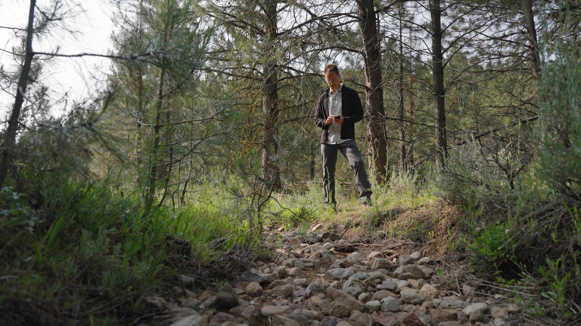
Modern real estate business has evolved into a race for how to best leverage data.
Agents leading the race know the best tools for interpretation, forecasting, and presentation. And no software user base is better optimized to do that than Land id customers, who use our data presentation and property marketing features for a wide range of strategic business decisions to winning over a critical new seller.
From niche use cases in the ranching industry to contemporary client presentations, here are a few examples of how various real estate specialists use Land id to find, win, and close transactions in the modern era of AI-driven, data-first real estate.
- Planning a ranch expansion
- Office park development
- Micro-resort due diligence
- Refreshing stale listings
- Listing presentations
Not Your Typical Stag Party
Red deer are a large European species native to Iran and Western Asia, as well as the craggy peaks and fertile valleys of the Caucasus Mountains. They also happen to be at the center of one of Land id’s most unique case studies.
Because of their size and regal appearance, red deer introduction efforts are underway around the world, mainly for sporting purposes. They’ve become a popular hunting challenge on designated grounds throughout Texas, including on the ranch grounds of Jimmy Banks, an agent near Waco, TX. In fact, Banks acquired adjacent land to accommodate the market’s interest in the majestic “red stag.”
Knowing how critical fencelines are to a ranching business, Banks turned to Land id’s mapping services team to clearly illustrate fenceline constraints for equipment purchasing and to fortify bidding costs among contractors bidding for the work. Additionally, Land id’s map ensured contractors knew exactly where to run fence for the newly acquired space and it helped illustrate pending infrastructure improvements.
Pro Tip: Get an Assist From Mapping Services
Our full-service custom map creation team is ideal for making sure your project is comprehensive and accurate when time and application expertise are at a minimum.
Master Site Plan Marketing
One of the more practical uses of Land id is its ability to “tell a story.” This can’t be done if there are no figurative pages to turn. This becomes crucial when property marketing packages are emailed, printed, or tapped through on a deck. The audience can only learn so much if a person isn’t talking them through it.
The team behind the development of Spencer Ranch Development Park in Boerne, TX wanted to do more for their pending mixed-use commercial project after traditional marketing means proved ineffective. They wanted their project presentation to tell its own story using interactive data layer options, narrative labels, and embedded site plan images and building renderings. The company also wanted the ability to quickly update the map as new milestones were reached.
The result was a more dynamic and professional investor package that demonstrates a listing agent’s marketing savvy and understanding of what impacts a mixed-use commercial development’s success.
Pro Tip: Repurpose Legacy Content
Existing site plan drawings, renderings, and marketing materials can be embedded, linked, and even made into map icons in any custom map from Land id. They can add tremendous value when presented with new context and enhanced by our data visualizations.
Micro-Resorts Becoming a Macro-Idea
They save by not using third-party booking sites. They look great on Instagram. And they cost less to build and manage. On the border of short-term rental and glamping, micro-resorts are a fast-growing segment of the experiential lodging industry, and a Land id user found theirs in the rock climbing hotbed of Red River Gorge, KY.
“Like anybody else, the main thing we were looking for was a way to make passive income,” Brittany Nagy told Land id. “So, finding a good property where we could build multiple different cabins on and have guests enjoy … We really wanted a place that had a view and felt really secluded and quiet.”
That place is The Gleanmeade, and the Nagys were initially faced with weeks of travel and fragmented due diligence to discover a location for their idea. Then, their real estate agent suggested Land id.
“I’d open Land id to see if a property was too concave, too flat. If it didn’t fit the criteria exactly, I would just nix it off the list,” Brittany said. “The fact that the app is all-inclusive is a big thing for me. We could see all the property details, all the elevation changes, all the features, and play with overlays.”
Pro Tip: Use Land id to Plan Your Micro-Resort
Beyond their initial due diligence, the Nagys created a map with property boundaries, cabin location icons, photography hotspots, trails, and even a nearby cave and year-round spring.
Refreshing Stale Listings
Call it market timing, miscalculated pricing, or maybe a little of both, but sometimes a property just doesn’t get the traction with buyers it deserves.
While some may advise to take it off the market for a spell, results show that strategy poses additional risk. It allows opportunities for additional competitive properties to take its place in the market, and previously interested parties can be lost entirely.
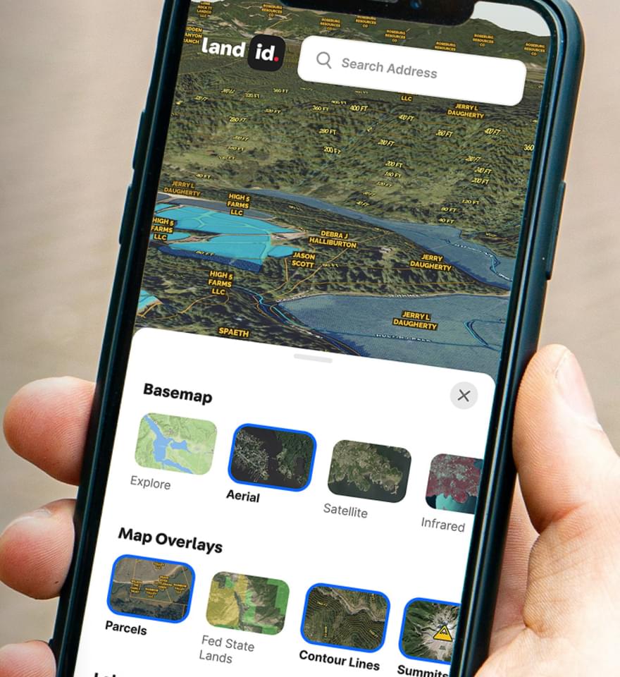
Instead, use Land id to refresh your stale listing. Replace flat PDFs and bulky offering memorandums with a digital, interactive map with embedded photos and video, icons of amenities, data overlays, rich text labels, high-resolution aerials, 3D panoramas, and engaging legends that tell the entire story.
Carbondale, CO agent Joe Risi used Land id to demonstrate to the owner of Flying Dog Ranch that his property had more to say than what the market was hearing.
“One of the first things I did was a basic print-out from Land id of the property boundaries,” he said. “I brought my computer along and said, ‘Let’s customize this map together.’”
In essence, Risi demonstrated that a general physical map will always provide some value, but that a layered, dynamic digital tour displays a property in an entirely different light.
“It was kind of a mind-blowing thing,” he said. “The soil report, for example, makes you look so much smarter than a lot of other [agents]. And flood plains? [Land id] makes it so much easier to tell that story, too.”
Pro Tip: Tell Engaging Property Stories
Encourage existing listing clients and pitch listing leads on the power of interactive, AI-powered map-based property tours. Prepare a custom Land id map before your meeting, and demonstrate what’s possible once ready for market.
Check out Risi's testimonial and read more about how he marketed Flying Dog Ranch.
Listing Presentations
Don’t be the agent that shows a new prospect an old presentation. While speed-to-lead is important, far too many agents prioritize it over data accuracy and professionalism. Land id believes it doesn’t have to be that way.
Land id’s Property Tour is the business-winning technology partner you need to compete in the fast, AI-first ecosystem of modern real estate. Whether selling vacant land, a working ranch, or a luxury home, it all comes down to how you control data.
The latest from Land id is a powerful combination of intelligent data visualization and traditional marketing tactics. It blends the full gamut of Land id’s most compelling product features into a single, comprehensive property presentation. It can be ready in minutes and shared anywhere.
Nathan Korczynski of Lone Star Land & Ranch Realty Group said it’s an easy tool for agents who may not be the most proficient users of marketing software.
“Property Tour takes all the information I want buyers to see and walks them through it in a way that's easy to understand—even for people who aren't tech-savvy or don't know how to read a map. It helps them visualize the land, understand the features, and often gets them excited enough to schedule a visit.”
For others, it’s about communicating as much as possible about a property before in-person visits, according to Jerrod Meyer of Jerrod Meyer Land Team; Whitetail Properties Real Estate.
“Property Tour is a great addition! I like having something that can 'walk someone through' the features instead of relying on them to figure it out. Also, I can determine what is important and not important (layer-wise) for each listing.”
Pro Tip: In Short, Stand Out
Every meeting is an opportunity to prove your value as an agent, and that’s hard to do when presenting what everyone else does. Land id is a unique product amongst the masses of CRM-first solutions out there, with data insights and visualization features impossible to find elsewhere.
FAQs
See Land id In Action
Research, analyze, share, and showcase real estate, all in one place.
Continue Reading
6 Ways To Find the Owner of a Property

By Land id
Discover the top six ways to find out who owns a house, building, or piece of property.

Craig Rowe
5 Ways to Get Started With Land id AI Insights

By Land id
Discover five ways to use Land id AI Insights to evaluate properties, highlight selling points, answer buyer questions, and upgrade your listing pages.

Explore Private Parcel Data & Property Boundaries
Download the Land id app and try for free.


