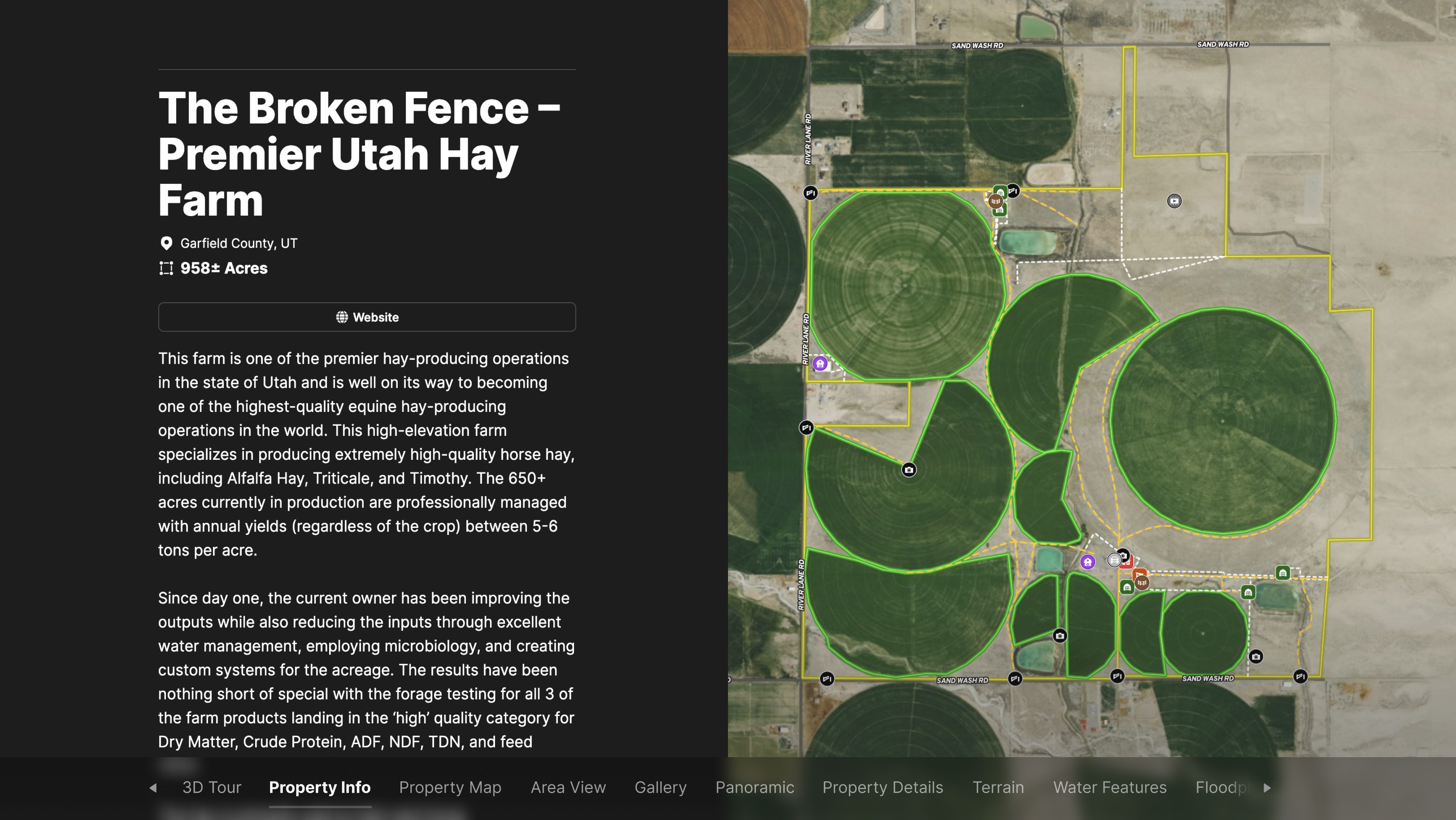
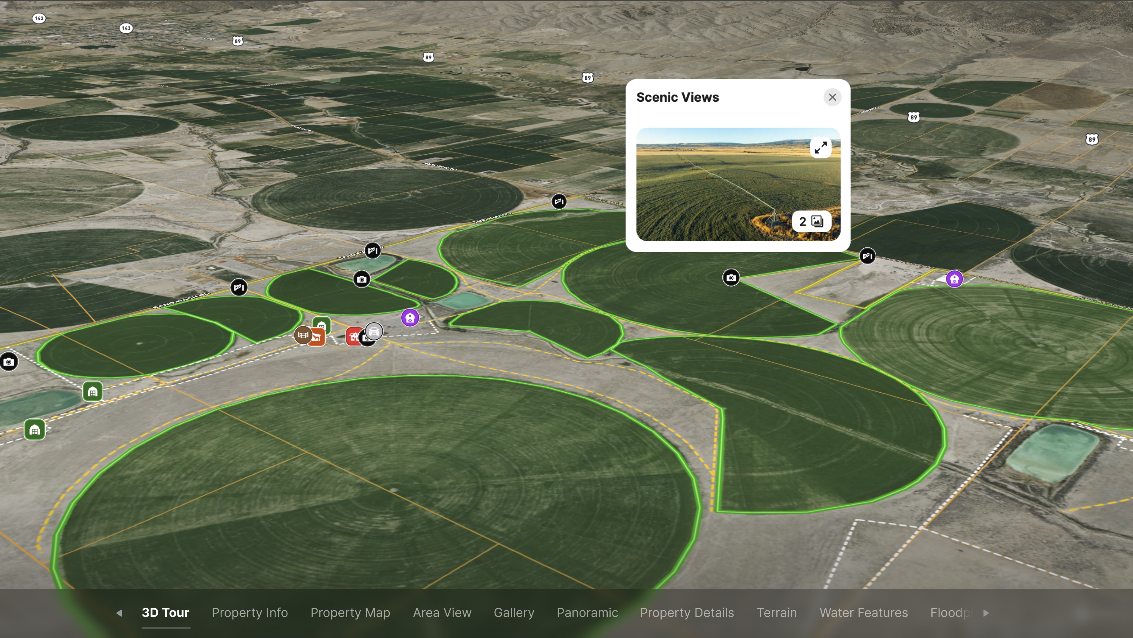
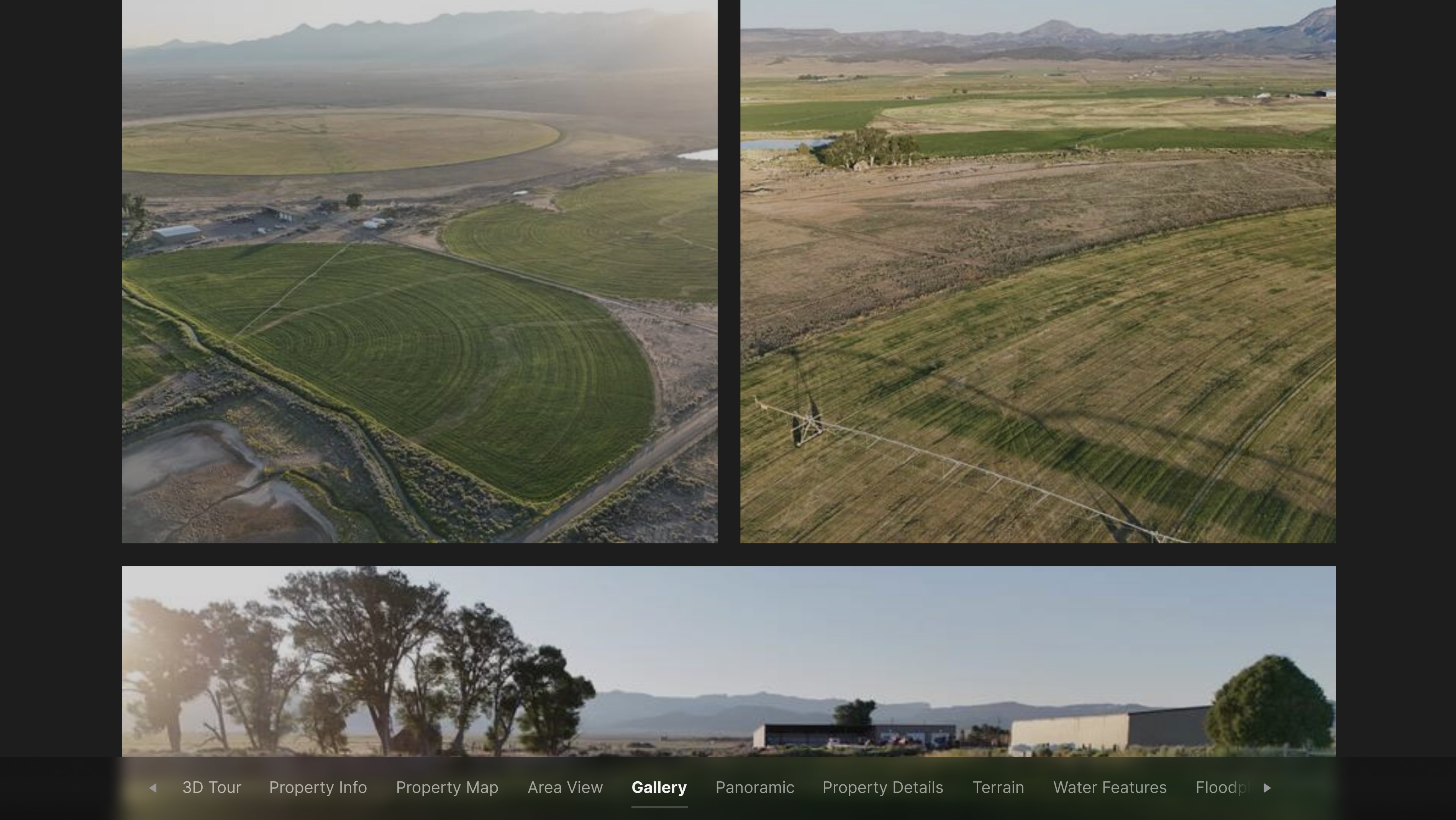
Zeb White of Whitetail Properties Real Estate is marketing The Broken Fence—one of Utah’s premier high-elevation hay operations spanning 958+/- acres. To effectively present this elite equine hay farm, he needed a custom listing map that could:
- Highlight over 650 acres of Alfalfa, Triticale, and Timothy hay fields currently in production.
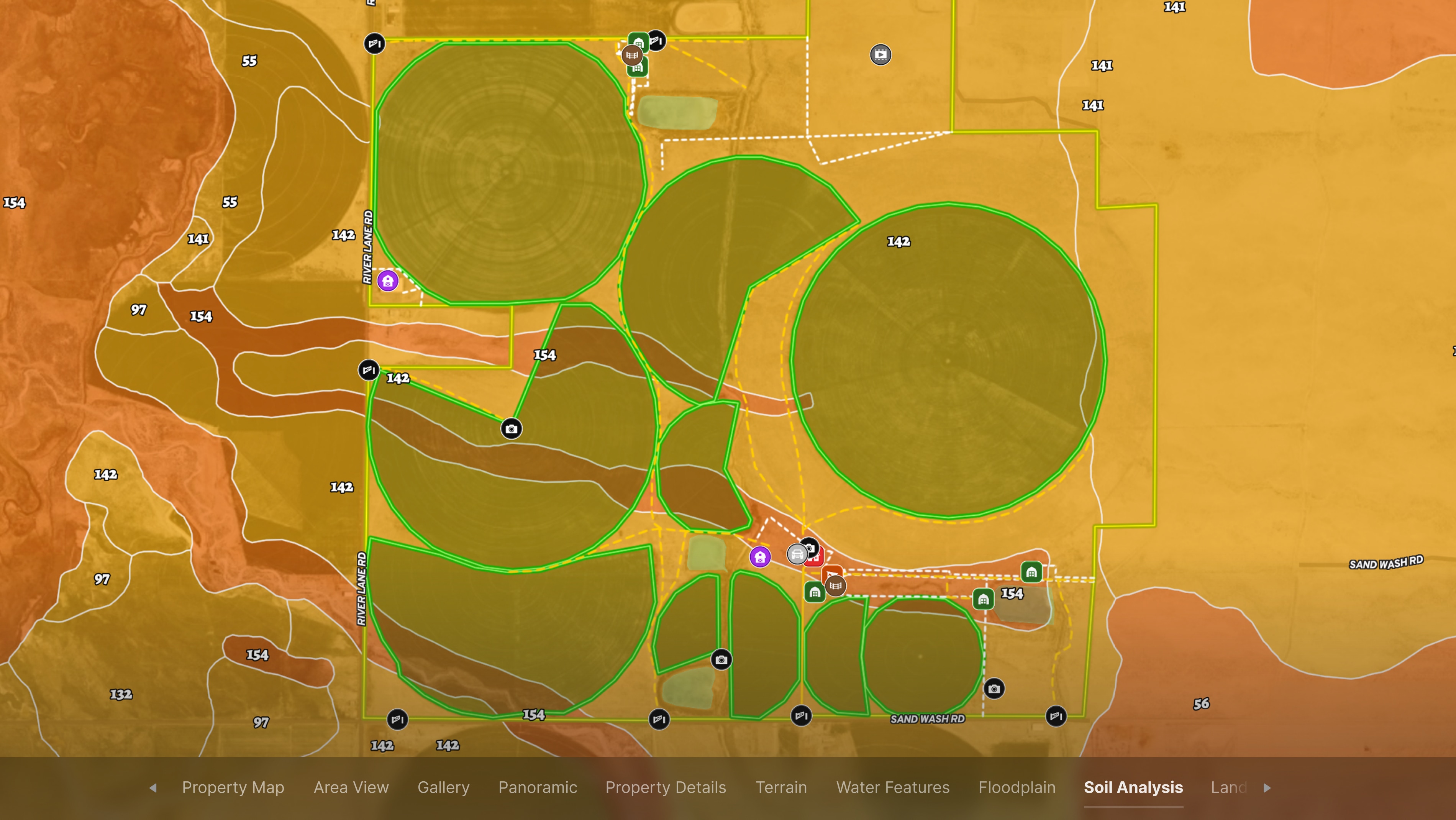
- Showcase water conservation systems and microbiology-driven soil health practices.
- Illustrate the full layout of key infrastructure, including hay barns, a 3,400 sq. ft. home, a heated shop, and a 100+ cow-calf feedlot.
With hay sold to top-tier horse breeders and champion rodeo horses, The Broken Fence is a rare opportunity to own one of the highest-quality equine hay farms in the world.
Learn How to Create a Project Like This
- Land id for Farming & Agriculture
- Create a Property Tour
- How to make maps in Land id
- Draw detailed maps by adding items
- Add labels to maps and mapped items
- Embed photos, videos, 360° walkthroughs, and more onto your map
- Run soil reports
Take Your Mapping to the Next Level
Mapping is just the beginning. Land id is the #1 tool for researching, discovering, and showcasing land, and we're here to help you make the most of it, every step of the way.