Latest
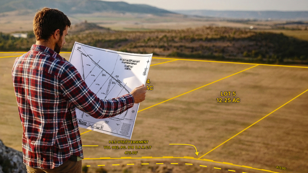
What Is a Plat Map? A Guide to Understanding Property Lines & Ownership
By
By Land id
Get the low-down on plat maps—what they are (and aren't), why they're important, how to use them, and how to work with plats in Land id to gain a deeper understanding of your land's potential.
Land id® Announces the Release of New Land Use GIS Layer
By
By Land id
Dallas, TX — July 14, 2021 — Land id® (formerly MapRight) is delighted to announce the release of our new Land Use Layer. With this new feature, users can determine instantly whether a parcel is being used as a residential, commercial, industrial, agricultural, vacant, or exempt property.
GIS Civil Engineering Applications We Can All Learn From
By
By Land id
Infrastructure doesn’t pop up overnight; the cities we live in, the roads we drive on, and the water systems we depend on were all meticulously planned by civil engineers. Although there is a good deal of overlap between architecture and civil engineering, the two are not one and the same; architects focus more on the design, while civil engineers oversee entire projects to ensure they are implemented in a safe, responsible manner.
This Summer, Visit the Hidden Continent of Zealandia
By
By Land id
In recent decades, GIS has helped us gather and spatially analyze data for increasingly complex scenarios. We’ve used it to learn more about how disease spreads around the world, to help astronauts plan future human missions to the moon, and even to create topographic maps of distant planets. Now, we’re taking GIS underwater.
An Online Mapping Tool Orientation
By
By Land id
The world of GIS is always expanding; we have an abundance of data and rapidly evolving technology, and when we combine the two, the possibilities are endless. By integrating data with geography, we can make connections and gain insights far more powerful than otherwise possible. However, there is a catch; GIS technology is extremely complex. That’s where an online mapping tool comes into play. With our platform, anyone (regardless of experience) can visually transform data into beautiful, usable maps.
The Secret to Maximizing the Value of Timberland
By
By Land id
A healthy, sustainable timber stand can be an extremely profitable asset in the long run. As such, maximizing the income timber-producing land generates is an obvious consideration. There are a wide variety of factors that can influence the value of a timber stand, and only by understanding those factors can property owners gain the highest possible return on their investment.
GIS Data Collection: Where it Comes From & How it Gets There
By
By Land id
According to Statista, 74 zettabytes of data will be created in 2021 alone - that’s 74 trillion gigabytes. Needless to say, there are massive amounts of data in circulation, and as smart devices become increasingly prevalent, that number is only expected to rise.
No results
Sorry, we don't have any articles that match your search. Try resetting your filters.


