

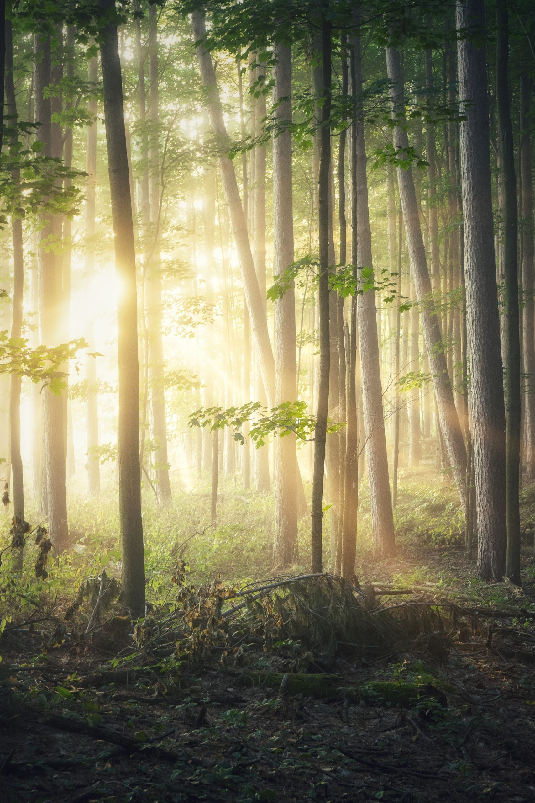
The humble tree provides more than just beautiful scenery, considering forests account for 80% of the Earth’s terrestrial biodiversity, they are an essential part of our natural world. However, these gentle giants need our help in order to survive. According to One Tree Planted, 46% of the world’s forests have already been destroyed, and every 1.2 seconds we destroy another football field worth of forests. However, it’s not all doom and gloom; it’s certainly a tall order, but with forestry mapping software, we have all of the tools we need to begin giving back and restoring our forests to their former glory.
The Importance Of Trees
Trees impact civilization in a multitude of ways, some more obvious than others. To start, trees beautify our neighborhoods, attracting businesses, shoppers, and increasing property values. They also provide shade to keep our cities cool, saving us a great deal in energy costs over time. However, a tree’s greatest impact would have to be its effect on the environment.
Trees Mitigate Global Warming
As of today, CO₂ levels are higher than they have been in 800,000 years, and those levels are still on the rise. The fuel we burn, the cars we drive, the factories we build, and the animals we eat all emit massive sums of this warming compound, but luckily, trees do the exact opposite. Trees absorb CO₂ from the air, convert it into energy, and release oxygen into the atmosphere. While they can’t counteract global warming entirely, this is by no means a small contribution; every year, forests absorb a third of global emissions.
Trees Absorb Pollution
Along with global warming, air pollution is a massive issue; poor air quality is a leading cause of stroke, heart disease, and lung cancer. All in all, it’s responsible for roughly seven million deaths annually. Trees can remove these harmful pollutants through small pores in their leaves (stomata) that absorb toxins, making the air suitable for us to breathe. In fact, one acre of trees can get rid of as much carbon monoxide in a year as a 26,000-mile car trip produces. And it isn’t just the leaves counteracting pollution; tree roots can remove carbon, toxins, and excess nutrients from water before it reaches streams and rivers, making trees essential to the health of aquatic ecosystems.
Trees Prevent Erosion
Trunks and leaves may give trees their winning looks, but it’s the roots that secure the soil and prevent erosion from wind and rain. However, without an adequate number of trees, there aren’t enough roots to do so. The World Wildlife Fund found that half of the globe’s topsoil has eroded in the last one hundred and fifty years, causing an extremely problematic cycle; erosion destroys soil fertility, preventing plants from being able to grow, which in turn increases erosion. To make matters worse, eroded soil is often carried into nearby waterways where it pollutes other ecosystems, further creating an environment unsuitable for animal life. By replanting trees, we can not only stop excessive erosion, but restore the natural habitats affected by it.
When Reforestation Is Necessary
In general, the more trees we have the better. However, some situations call for reforestation efforts with more urgency than others. When trees are destroyed, whether it be by natural causes or human activity, reforesting is often a necessity.
Natural Causes
Wildfires can devastate a once-thriving forest in a matter of days; according to NBC News, California lost 18 million trees due to wildfires in 2018 alone. Disease also has the potential to destroy a forest. The problem is that diseases can spread fast, and treating sick trees is rarely an economically feasible option. To make matters worse, a diseased forest is susceptible to insects and fungi. These tiny creatures can spread rapidly from tree to tree, hastening disease transmission in the process. If you’ve ever driven through Colorado, you've probably seen the effects of this firsthand.
Unnatural Deforestation
While natural causes are contributors, the main source of deforestation is human activity. We cut down trees for all sorts of reasons, but the top causes according to You Matter are agriculture, which accounts for 80% of our role in deforestation, followed by construction at 15%, and then urbanization at 5%. This is a huge issue for the environment. Cutting down trees releases carbon dioxide back into the air, heightens the risk of flooding, and according to the World Animal Foundation, causes the extinction of 137 species every day.
How Forestry Mapping Software Helps
There is a great deal of work to be done in order to restore our trees, and forestry mapping software will be an incredible asset. With GIS technology, foresters can not only locate areas that could benefit from tree planting efforts, but monitor the trees to ensure they have what they need to thrive.
Locate Areas To Replant
One of the greatest benefits of forestry mapping software is its ability to precisely pinpoint areas that meet specific conditions. For those looking to combat global warming by planting trees, a great place to start could be by adding a GIS layer for CO₂ levels. Once they have identified locations with high atmospheric carbon dioxide, they can take it a step further and add a layer for land use, which will allow them to not only see where trees could help, but where they can realistically be planted. Of course, high CO₂ isn’t the only factor that necessitates reforestation. Foresters can also add a layer with forestry mapping software to track the course of wildfires, the spread of disease, and human activity that results in deforestation.
Once foresters have determined where replanting needs to occur, they’ll need to factor in that those locations will also have to be suitable for the trees, and not all trees are built for the same environments. With GIS forestry mapping software, individuals can add layers for any data they have available on conditions that would impact a tree’s ability to grow - topography, temperature, precipitation, sun exposure, etc. With this information, those looking to plant trees can rest assured that they chose the right species for the location (or conversely, the right location for the tree species).
Monitor Tree Health
It’s far easier (and less costly) to prevent disease and insects from damaging a forest than it is to make repairs after the fact; whether one is caring for existing trees or planting new ones, keeping close track of their health is crucial. With Land id’s (formerly MapRight) forestry mapping software, users can visualize their timber stands and create custom databases to do exactly that. Users can even overlay additional information such as soil reports to further give insights into the trees’ health.
While trees are objectively a good thing, too many in close proximity is a recipe for wildfires, especially in dryer climates. Though it’s a tad counterintuitive, part of caring for trees is getting rid of some every now and then. With the help of forestry mapping software, foresters can track the age and density of trees to help inform how they go about sustainable harvesting, controlled burns, and other wildfire prevention measures.
Give Back With Land id’s Forestry Mapping Software
Trees are a force to be reckoned with in the fight against climate change; according to One Tree Planted, a single mature tree can remove 48 pounds of CO₂ from the atmosphere every year. With the help of forestry mapping software, we have all of the tools we need to support these powerful plants as they cleanse our air, prevent erosion, cool our cities, and beautify our neighborhoods. Land id® enables foresters to not only locate the best places to plant trees, but track and monitor specific data points on the health of those trees.
Ready to give back with the best forestry mapping software available? Sign up for your 7-day free trial today!
FAQs
Continue Reading
Craig Rowe
How Factory-Built Housing Can Reshape America’s Housing Market
.png)
By Land id
The U.S. housing industry’s decade-plus-long inventory challenge could see its first true sign of resolution should the 21st Century Road to Housing Act become law.

Craig Rowe
Can Refurbishing Schools Help Solve Housing Issues?
By Land id
Old public schools are becoming apartments as enrollment drops. See why school-to-apartment conversion is adaptive reuse's fastest-growing niche.


Explore Private Parcel Data & Property Boundaries
Download the Land id app and try for free.
