Latest
What Is a Plat Map? A Guide to Understanding Property Lines & Ownership
By
By Land id
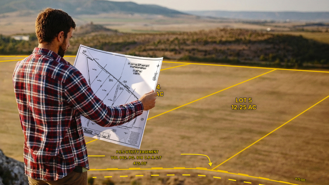
Get the low-down on plat maps—what they are (and aren't), why they're important, how to use them, and how to work with plats in Land id to gain a deeper understanding of your land's potential.
Mapping the Murder Hornets
By
By Land id
What’s scarier than a hornet? How about a murder hornet. These invasive insects were first spotted in the US in 2019, and they brought with them the potential to devastate our natural environment. However, despite their ominous name, murder hornets aren’t prone to attacking humans — but they are known to kill. Officially named Asain Giant Hornets, murder hornets received this loving nickname due to their tendency to rip the heads from bees and leave their bodies in piles. In a few hours, murder hornets can completely demolish a beehive, presenting a huge problem for humans; bees are an essential player in the production of our food.
Maximize Your Land’s Potential With Farm Mapping Software
By
By Land id
Dwight D. Eisenhower once said, "farming looks mighty easy when your plow is a pencil and you're a thousand miles from the cornfield." Let’s just say, farming isn’t for the faint of heart - it’s incredibly hard work. You can’t simply plant something at will and watch it flourish; a successful harvest takes strategy. Of course, the productivity of the land is partially determined by the conditions you’re dealt, but proper planning and the use of farm mapping software can make a world of difference.
Land id® Announces the Release of New Search and Editing Tools
By
By Land id
Dallas, TX — October 6, 2021 — Land id® (formerly MapRight) is proud to announce the release of three new features to Land id’s impressive array of capabilities: the Buffer Tool, the Cut Tool and Lat/Long Search. The Buffer and Cut Tools enable users to easily create exact setbacks and quickly divide boundaries on their maps. Lat/Long Search allows users to search for properties by latitude and longitude on Land id’s web and mobile apps.
Land id® Announces the Addition of NCCPI Ratings And WAPI Values To Soil Reports
By
By Land id
Dallas, TX — October 6, 2021 — Land id® (formerly MapRight) is thrilled to announce two crucial updates to our Soil Reports. Reports now include two new datasets, allowing users to access National Commodity Crop Productivity Index (NCCPI) ratings and Weighted Average Productivity Index (WAPI) values directly from Land id’s Soil Reports.
Seeing the Forest From the Trees: Solving Tree Inequality With GIS
By
By Land id
We don’t typically think of trees as a critical part of a city’s infrastructure, but they are just as important as highways and electric lines. Inadequate tree coverage in a neighborhood results in much higher temperatures, poorer air quality and lower property values. That’s why many cities are taking steps to address tree inequality. By utilizing multiple geospatial datasets, conservation nonprofit American Forests created The Equity Score map to visualize tree distribution across the US. In doing so, the project found that in the poorest neighborhoods — where 90% of residents live in poverty — they have 41% less coverage than the wealthiest areas.
Land id® Announces the Release of New Airports Layer
By
By Land id
Dallas, TX — August 17, 2021 — Land id® (formerly MapRight) is excited to announce the release of our new Airports Layer. With this feature, our users can view accurate airport locations instantly.
No results
Sorry, we don't have any articles that match your search. Try resetting your filters.


