


Due diligence in land and ranch brokerage is uniquely critical because most buyers seek properties for specific uses, such as grazing, hunting, development, or conservation. Each intent demands something different from the land, so whoever can uncover its highest potential fastest gets to put a sign in front of the property.
And for Montana ranch broker Ryan Bramlette, when it comes to understanding the attributes of any property, “There’s just no better tool than Land id.”
Step One: Know Your Boundaries
Bramlette is part of Bozeman-based brokerage Fay Ranches, which has been a leader in land and ranch advisory services since 1992. Land id has been a partner to the firm for a number of years. According to Bramlette, it’s the first thing the Fay Ranches team turns to when a new listing lead arrives.
“We identify the ranch, identify the boundaries, understand if there's public land boundary, if there's live water, all of those things,” Bramlette said. “And [Land id] allows us to do some preliminary due diligence. So as we go out and then meet with that landowner after that initial phone call, we've done a lot of homework and at least on paper, we understand the ranch. And then, of course, we go get boots on the ground.”

Every successful real estate agent understands the value of pre-meeting preparation. It requires getting to know a property in all directions and elevations, and coming armed with insights even the seller or buyer may not know.
Beyond demonstrating practical market knowledge, it shows a concern for how the client exits the transaction and a dedication to professionalism.
Matching Buyers to Opportunities
Land id offers data-driven property intelligence to land and ranch agents, something the Fay Ranches team has embraced much to their advantage.
Bramlette calls it his most important tool—a fast, elegant way to determine boundaries, soil types, adjacent owners, mortgage history, and other critical parcel data that drives real estate investment decisions.
“You can tell early on using Land Id if a ranch may or may not be a fit for a given buyer. We will have buyers that say, ‘I don't want a ranch under the conservation easement.’ You can click on the conservation easement layer, quickly identify which ranches are or are not under conservation,” he said. “Other buyers, they're adamant that they have public land boundaries so they can kind of expand their own backyard.”
Going Mobile: Land id on the Move
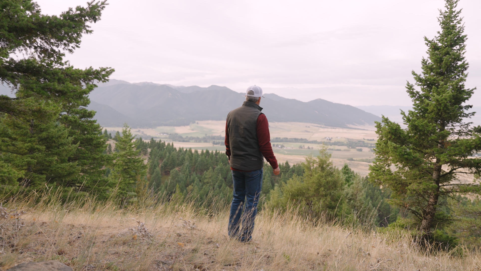
Bramlette allowed Land id to join him on a tour of a steep, exceptionally scenic 342-acre listing in the Bridger Foothills—an ideal overlap for Land id’s versatile, portable feature set.
With a dash-mounted tablet on his Can Am side-by-side, Bramlette navigated the land the same as he would for any interested buyer, touring established trails and public land boundaries.

Through the power of custom map creation and downloading for offline use, Bramlette used Land id to illustrate clear boundary lines and active water sources, stimulating discussions on the many ways potential buyers could enjoy the land.
When real estate agents marry the custom map creation and in-depth data visualizations of Land id with on-site, hands-on tours, every transaction is more likely to run smoothly, regardless of property type.
“Land id is probably the most valuable tool in my toolkit,” Bramlette said.
Good to hear, Ryan.
Watch Ryan's full interview on YouTube.
Learn How He Did It
Our customer stories feature real Land id users—people like you who saw a challenge and found a solution. Here are the features Ryan Bramlette uses to analyze and map in his daily workflow.
- Embed & Share
- Photos & Video
- Create Custom Detailed Maps
- Surface Water Overlay
- Federal and State Lands Overlay
- Conservation Easement Overlay
- Game Management Overlay
- Contour Lines Overlay
- Adding Labels to Maps
- Real-Time Tracking
- Visualize maps in 3D
FAQs
Want to Be Featured?
Continue Reading
Craig Rowe
How Factory-Built Housing Can Reshape America’s Housing Market
.png)
By Land id
The U.S. housing industry’s decade-plus-long inventory challenge could see its first true sign of resolution should the 21st Century Road to Housing Act become law.

Craig Rowe
Can Refurbishing Schools Help Solve Housing Issues?
By Land id
Old public schools are becoming apartments as enrollment drops. See why school-to-apartment conversion is adaptive reuse's fastest-growing niche.


Explore Private Parcel Data & Property Boundaries
Download the Land id app and try for free.
