Missouri has approximately 16,000 documented sinkholes. Is one on or near a property you're considering?
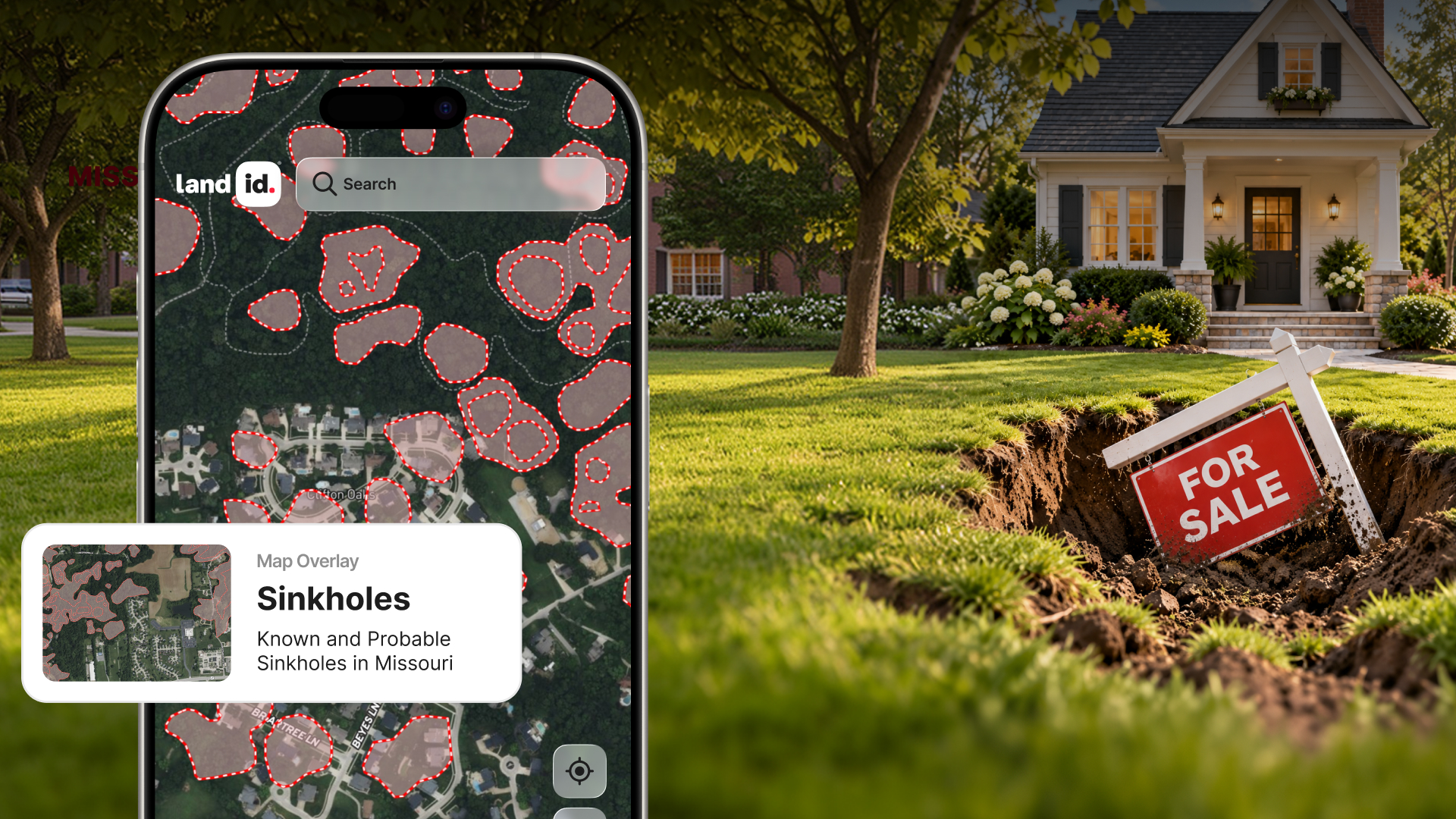
You can find out with Land id's Missouri Sinkholes Map Overlay, featuring documented sinkhole locations from the Missouri Geological Survey. See known sinkholes alongside property boundaries, aerial imagery, and other important land data to make more informed decisions before you buy, build, or sell.
Explore 16,000 Documented Missouri Sinkholes on One Map
Sinkholes are a common feature of Missouri's landscape, particularly across the Ozarks and other areas with limestone and dolomite bedrock.
Some are small depressions in the ground. Others span hundreds of acres. And while they aren't always obvious from the surface, their presence can affect where you build, how you use a property, and what questions you need to ask before closing.
Land id's Missouri Sinkholes map layer brings documented sinkhole locations from the Missouri Department of Natural Resources (MoDNR) directly onto your property map.
You can:
- Check a specific property. See documented sinkholes on or near a parcel before making an offer.
- Evaluate potential building sites. Identify areas that may warrant additional geological investigation before development.
- Research larger acreages. Explore known sinkholes across farms, ranches, and recreational properties without losing sight of property boundaries.
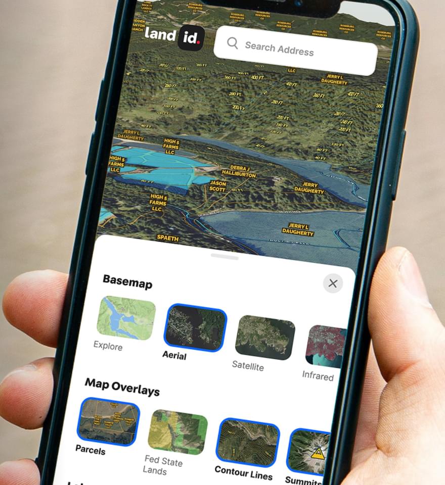
- Get a fuller picture of the land. View sinkholes alongside flood zones, soils, wetlands, and other Land id data layers.
How to Find Sinkholes in Missouri Using Land id
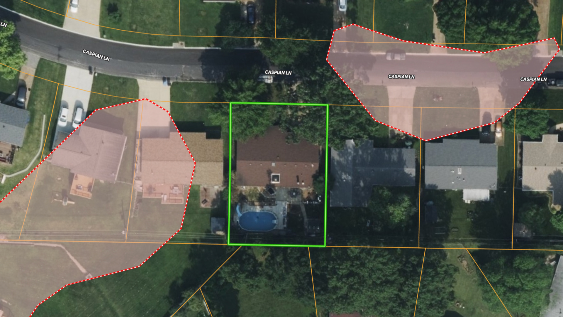
Checking a Missouri property for sinkhole risk takes just a few steps in Land id:
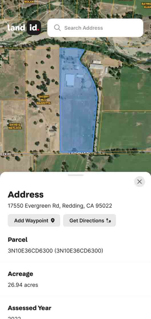
- Find your property. Search for a Missouri address, APN, coordinates, or property owner name in Land id.
- Turn on the Missouri Sinkholes layer. Display documented sinkhole locations and areas directly on the map. This only works for Missouri addresses.
- Explore the surrounding land. Zoom in to see how mapped sinkholes relate to property boundaries, potential building sites, and neighboring parcels.
Whether you're preparing a listing, evaluating a land purchase, or researching a potential development site in Missouri, you can bring important geological information into your property research early.
Why Check for Sinkholes Before Buying Property in Missouri?
Sinkholes form when underground rock dissolves or collapses, creating depressions or openings at the surface. They're especially common in areas with karst geology, including much of the Missouri Ozarks of southern and central Missouri.
A documented sinkhole doesn't automatically make a property unsuitable for purchase or development. But it can raise important questions about:
- Construction and foundations: Could the sinkhole affect where a home, road, or other structure is built?
- Water and septic systems: Could surface drainage into a sinkhole affect groundwater or private wells?
- Property value and insurance: Does the presence of a sinkhole warrant additional evaluation or questions about coverage?
Identifying these features early allows buyers, agents, investors, developers, and landowners to investigate potential concerns before making major decisions.
Does the Missouri Sinkhole Map in Land id Show Every Sinkhole?
No. Land id's Missouri Sinkholes layer displays known, documented sinkholes using data from the Missouri Geological Survey, part of MoDNR.
Not every sinkhole has been identified or recorded. A property without a mapped sinkhole is not necessarily free of sinkhole risk, and the layer cannot predict where new sinkholes may form.
For property-specific risk assessments, consult a qualified professional engineer or registered geologist.
Know the Sinkhole Risk Before You Buy or Build in Missouri
A sinkhole is one piece of the property puzzle. With Land id, you can see documented sinkholes alongside parcel boundaries, terrain, soils, flood zones, and other land data in one interactive platform.
Try Land id for free for seven days to use the Missouri Sinkhole Overlay and get a clearer picture of the property—before your next decision.