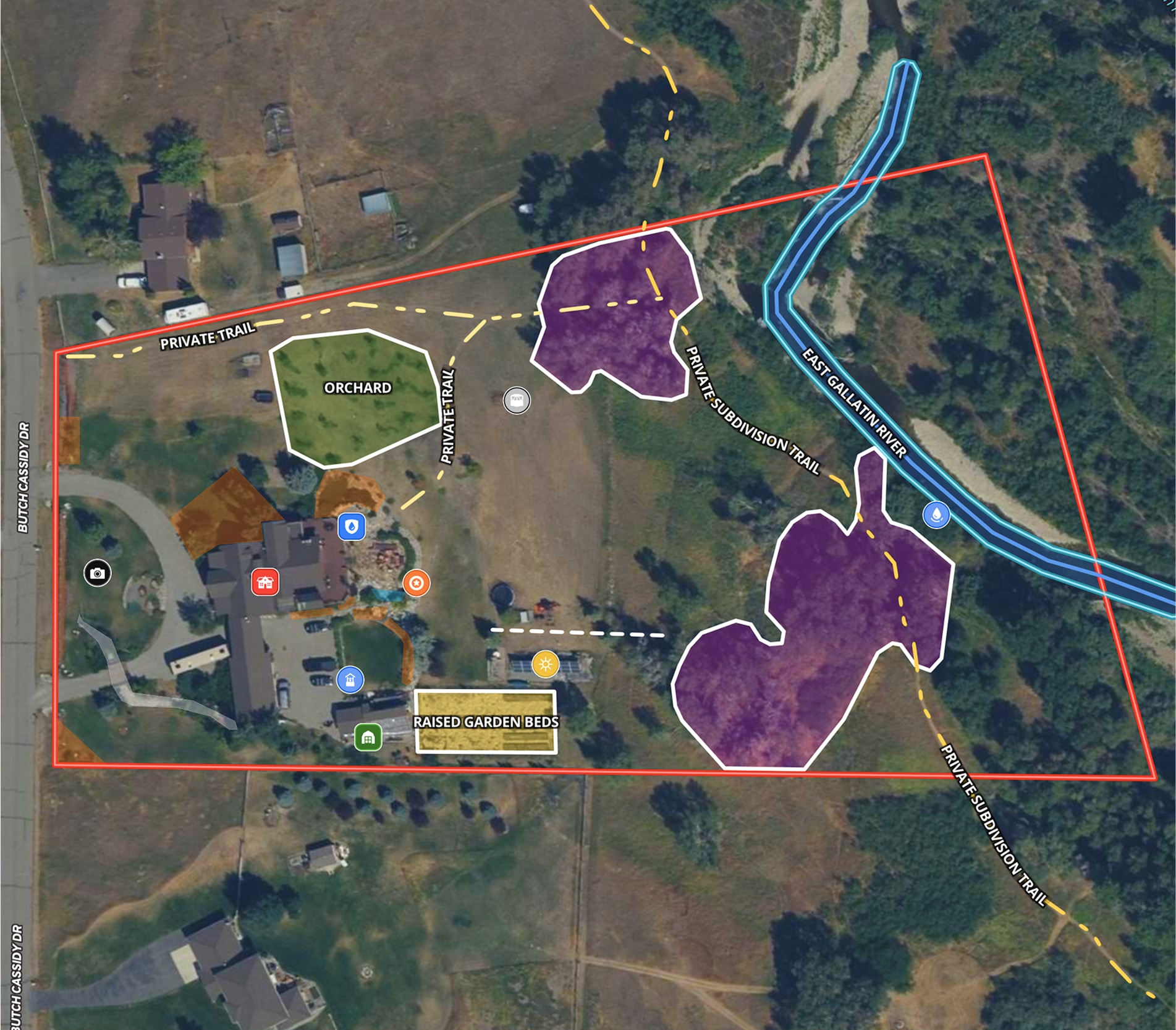
Land id® makes it easier to navigate the giant game of "connect the dots" required for a successful renewable energy project.
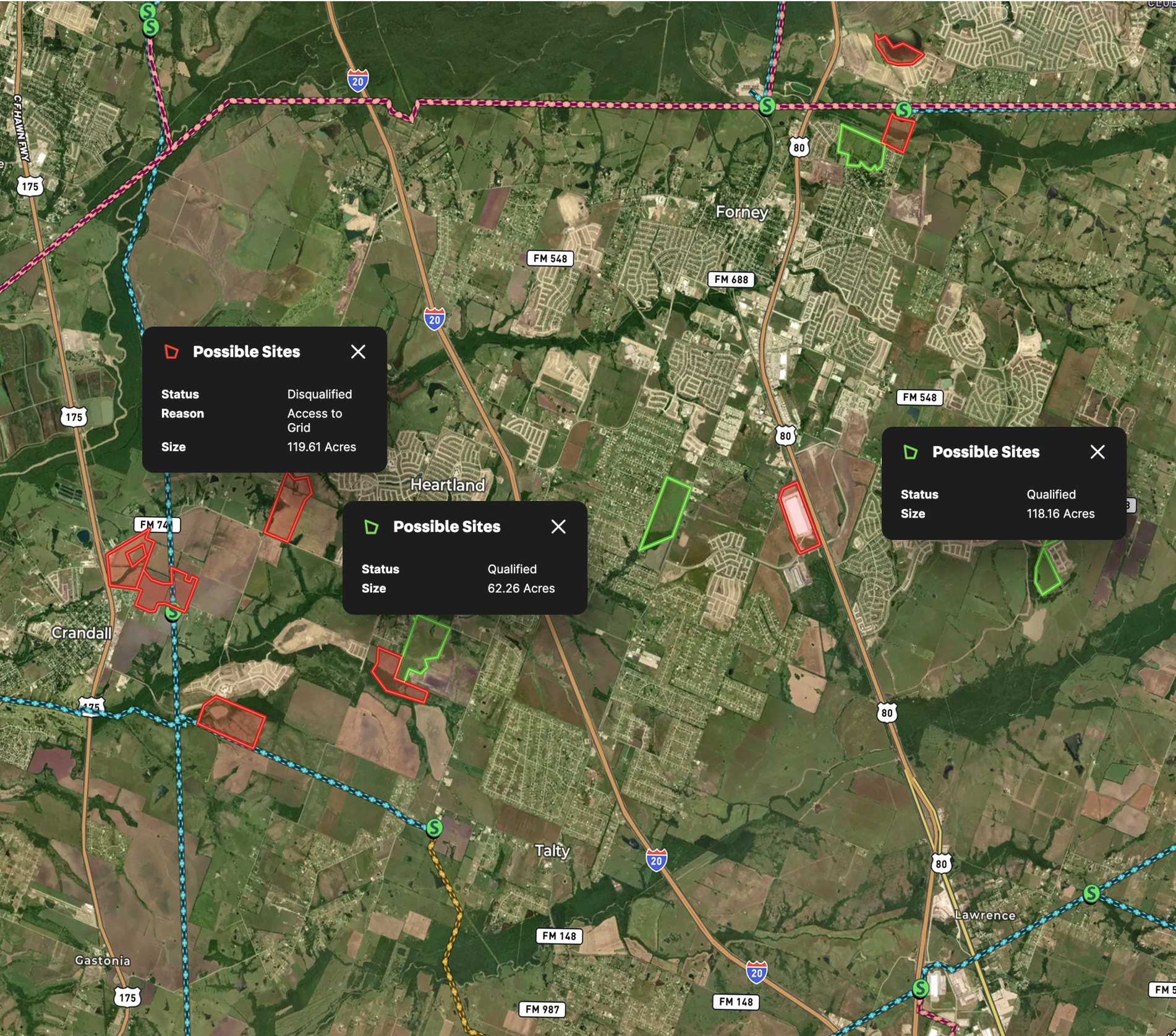
Start by evaluating potential properties for wind farm or solar plants with overlays like transmission lines, substations, wetlands, and more.
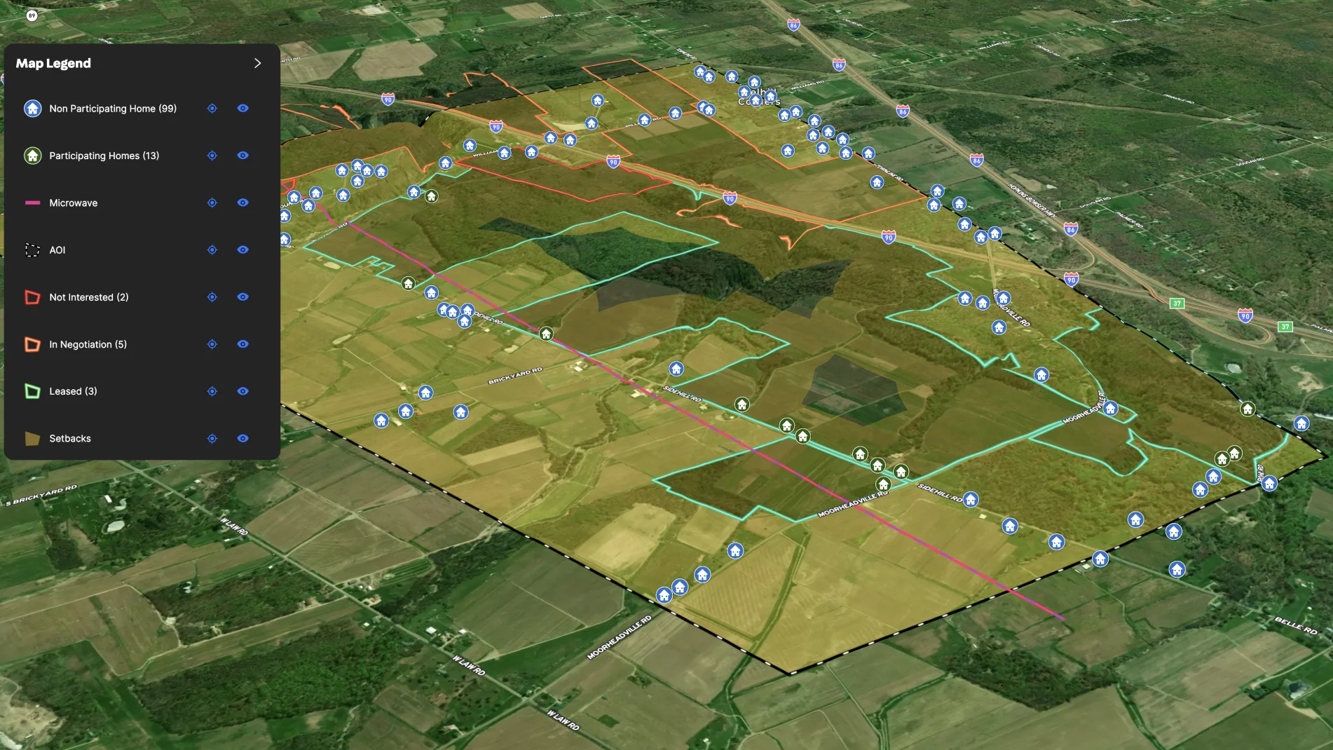
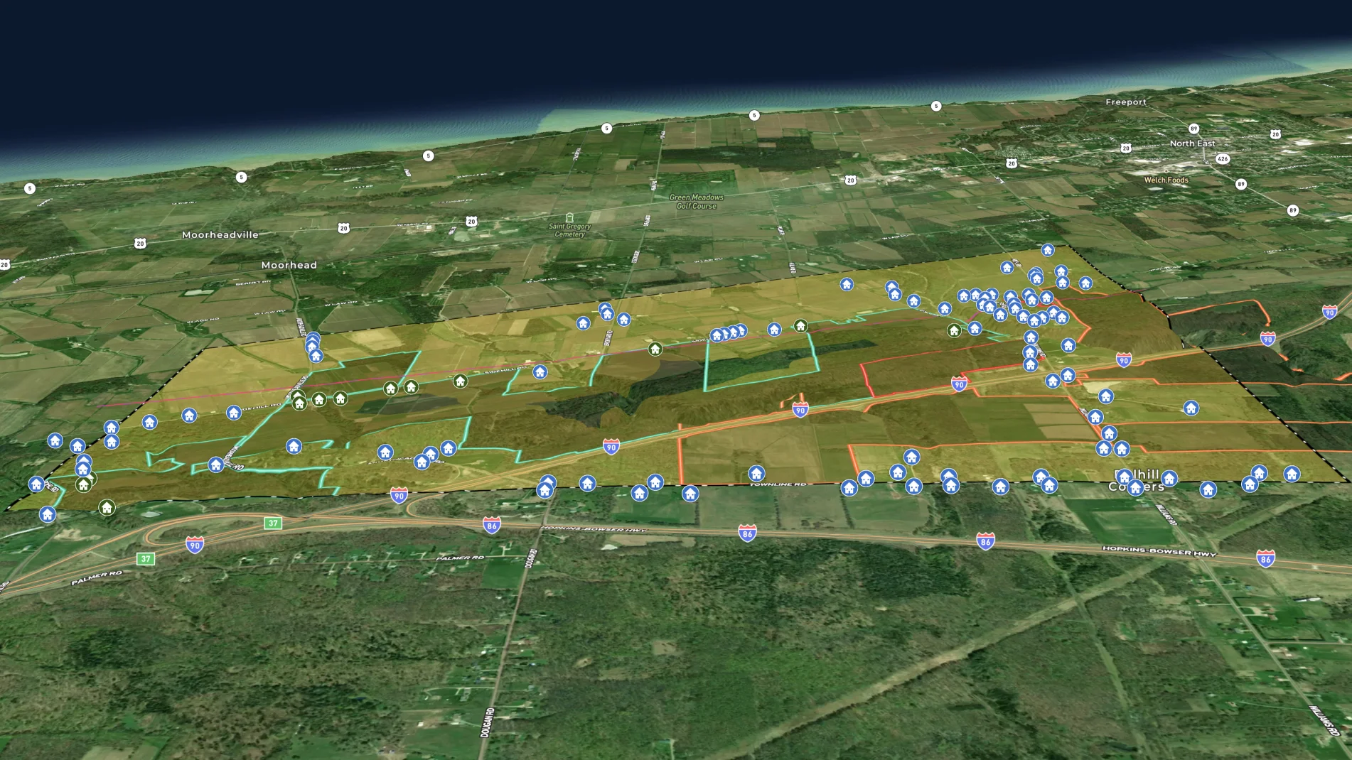
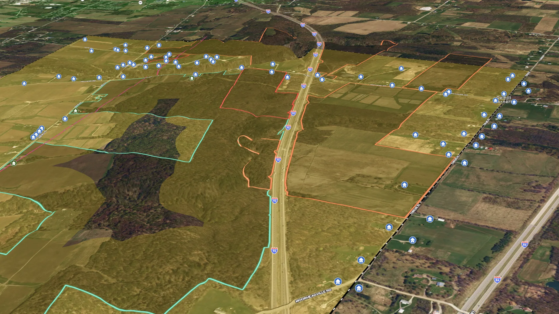
Once you have a potential location identified, you can identify the required rights-of-way by drawing a line from your planned project substation to the grid and seeing the impacted parcels. From there, your land man can use extensive parcel data to prepare for leasing conversations with landowners and homeowners. After each conversation, he can easily track the the status of right-of-lay leases required to get to your project's point of interconnection. By color-coding the boundaries, it's easy to see which parcels are leased, in negotiations, or have declined.
The entire team can reference an the same, updated project map in Land id and make any adjustments to the location of wind turbines or solar panels, communications infrastructure, and required setbacks. Once the leases and initial plans are finalized, you're ready to share this detailed interactive map with your engineering design firm.
Learn How to Create a Map Like This:
- How to make maps in Land id
- Draw detailed maps using the feature palette
- Add labels to maps and mapped features
- How to use the buffer tool in Land id

Make your first map in 3 min.
Try for freeKeep Exploring
Take Your Mapping to the Next Level
Mapping is just the beginning. Land id is the #1 tool for researching, discovering, and showcasing land, and we're here to help you make the most of it, every step of the way.
