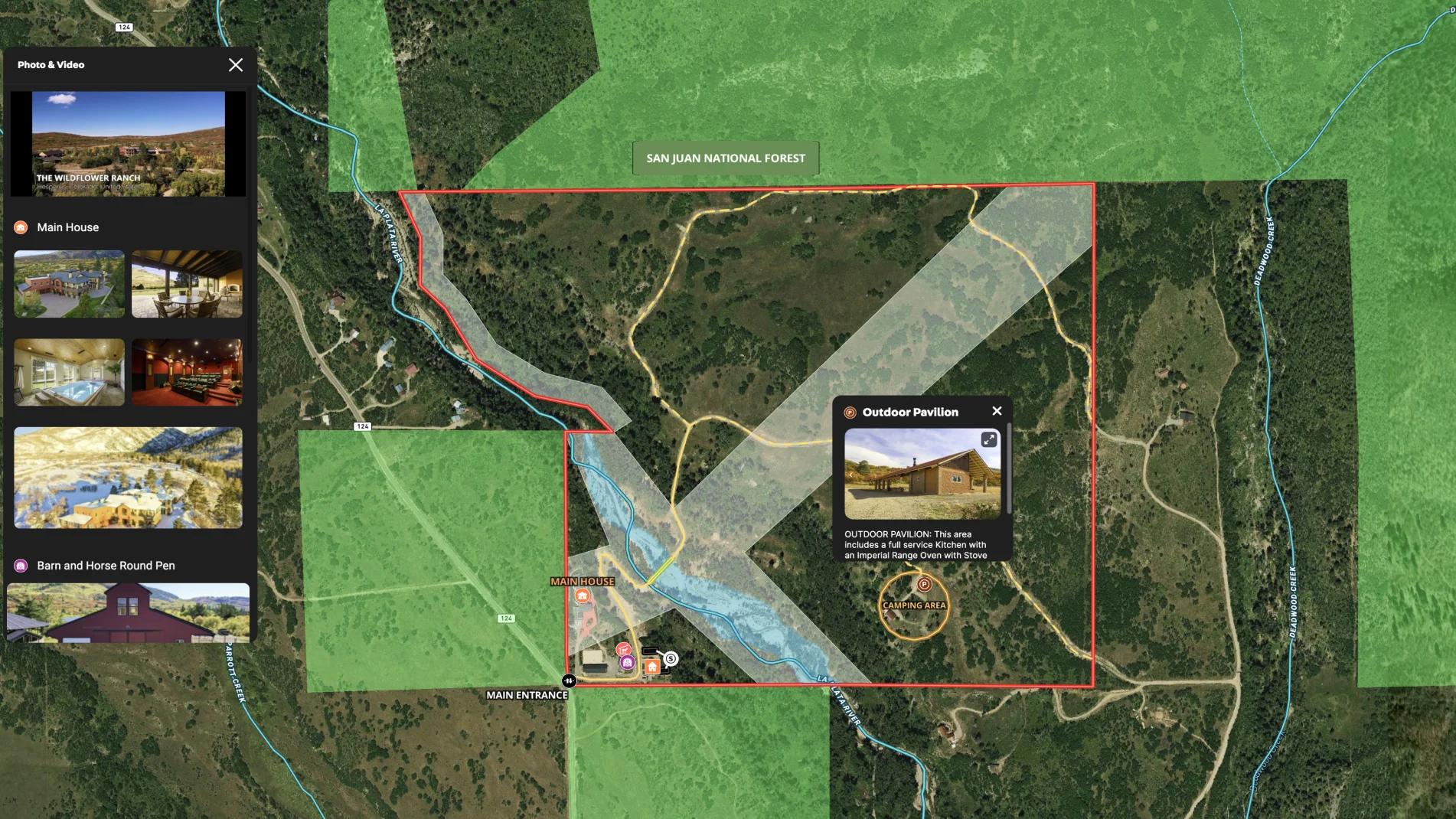
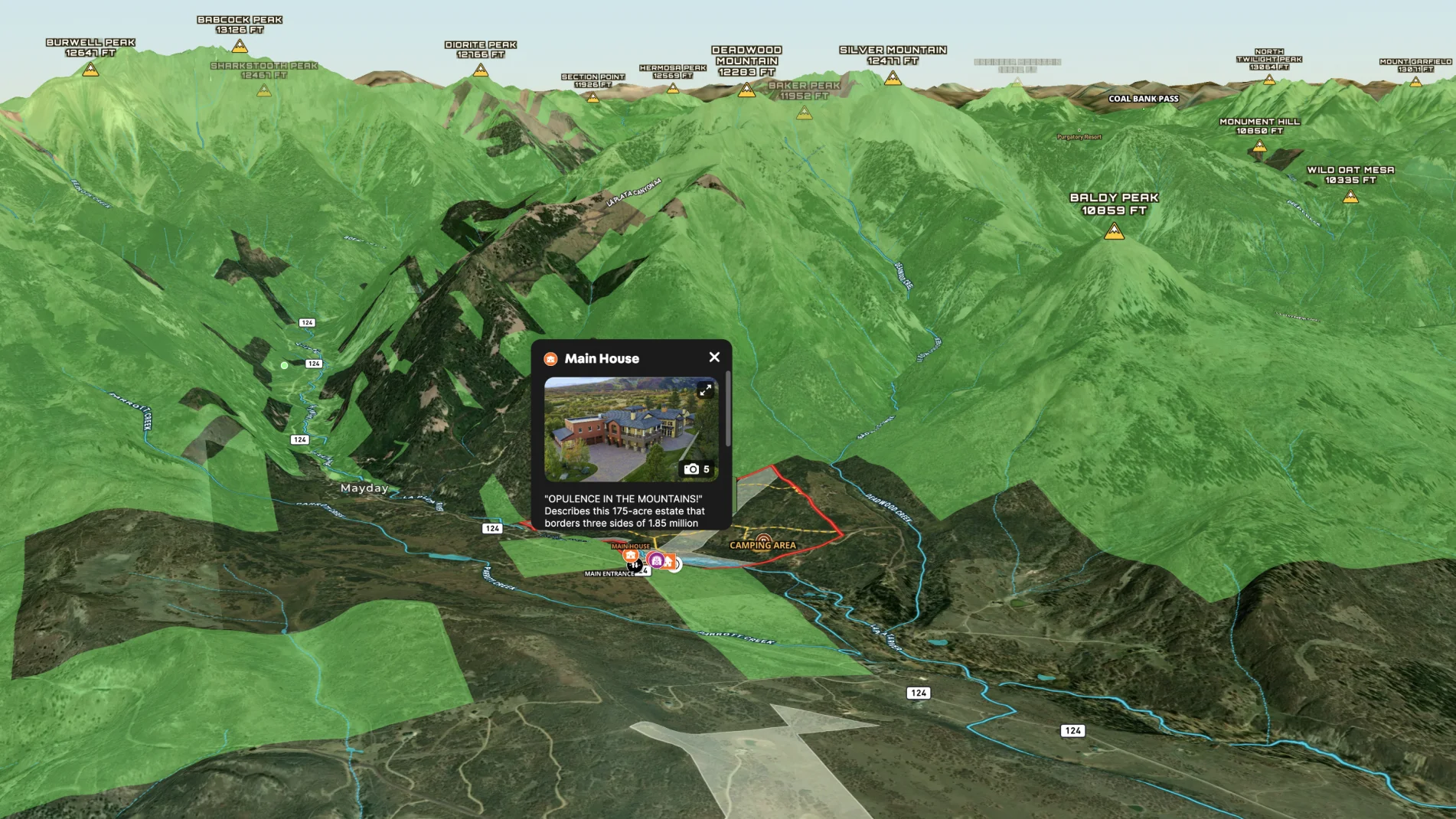
This Colorado home is next-level. The listing agent, Eric Roark, knows the marketing strategy needs to be next-level too with Wall Street Journal articles, a dedicated website, multiple videos and of course, an interactive Land id® map.
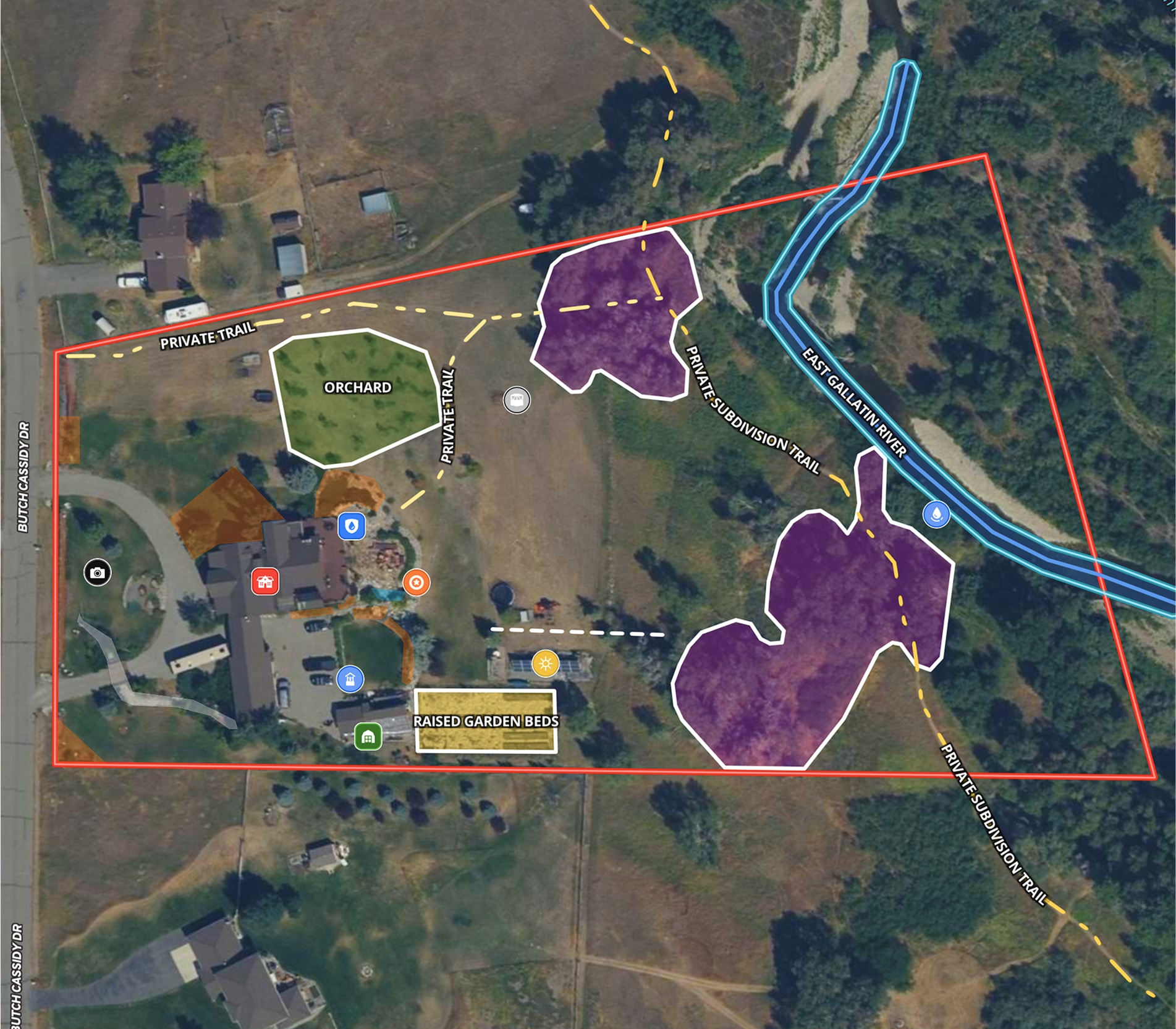
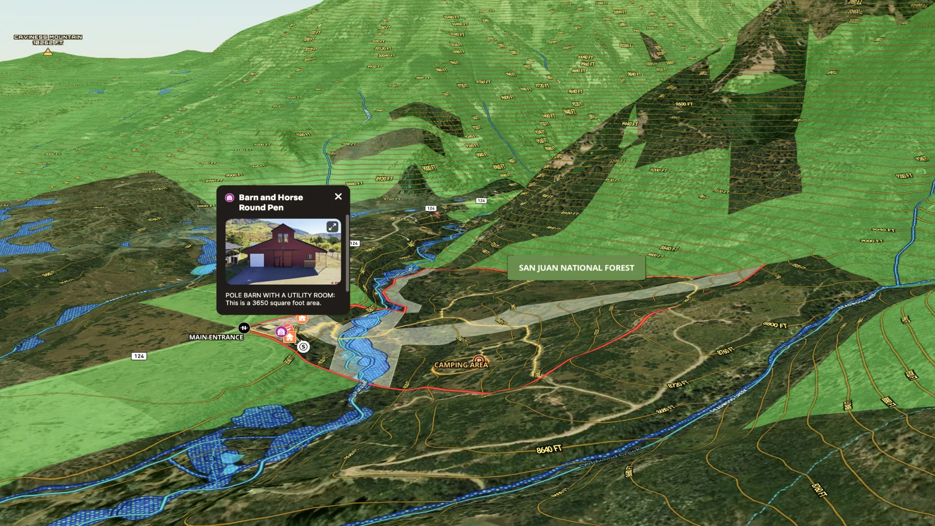
This detailed map highlights the key aspects that make this property exceptional, like the multiple shared borders with the San Juan National Forest; the La Plata River running through the property; the heated driveway, the on-property campground, conservation easements on and near to the property.
Visit the Wildflower Ranch website to help potential buyers explore this amazing property and see this interactive map embedded prominently throughout the site.
Learn How to Make a Map Like This:
- How to make maps in Land id
- Draw detailed maps using the feature palette
- Add labels to maps and mapped features
- Embed photos, videos, 360° walkthroughs, and more onto your map
- Airports Overlay
- City Limits Overlay
- Conservation Easement Overlay
- Federal and State Lands Overlay
- Points of Interest Overlay
- Summits and Gaps Overlay
- Surface Water Overlay

Make Your First Map in 3 Min.
Try for freeKeep Exploring
Take Your Mapping to the Next Level
Mapping is just the beginning. Land id is the #1 tool for researching, discovering, and showcasing land, and we're here to help you make the most of it, every step of the way.
