Latest
Six Ways To Find the Owner of a Property
By
By Land id
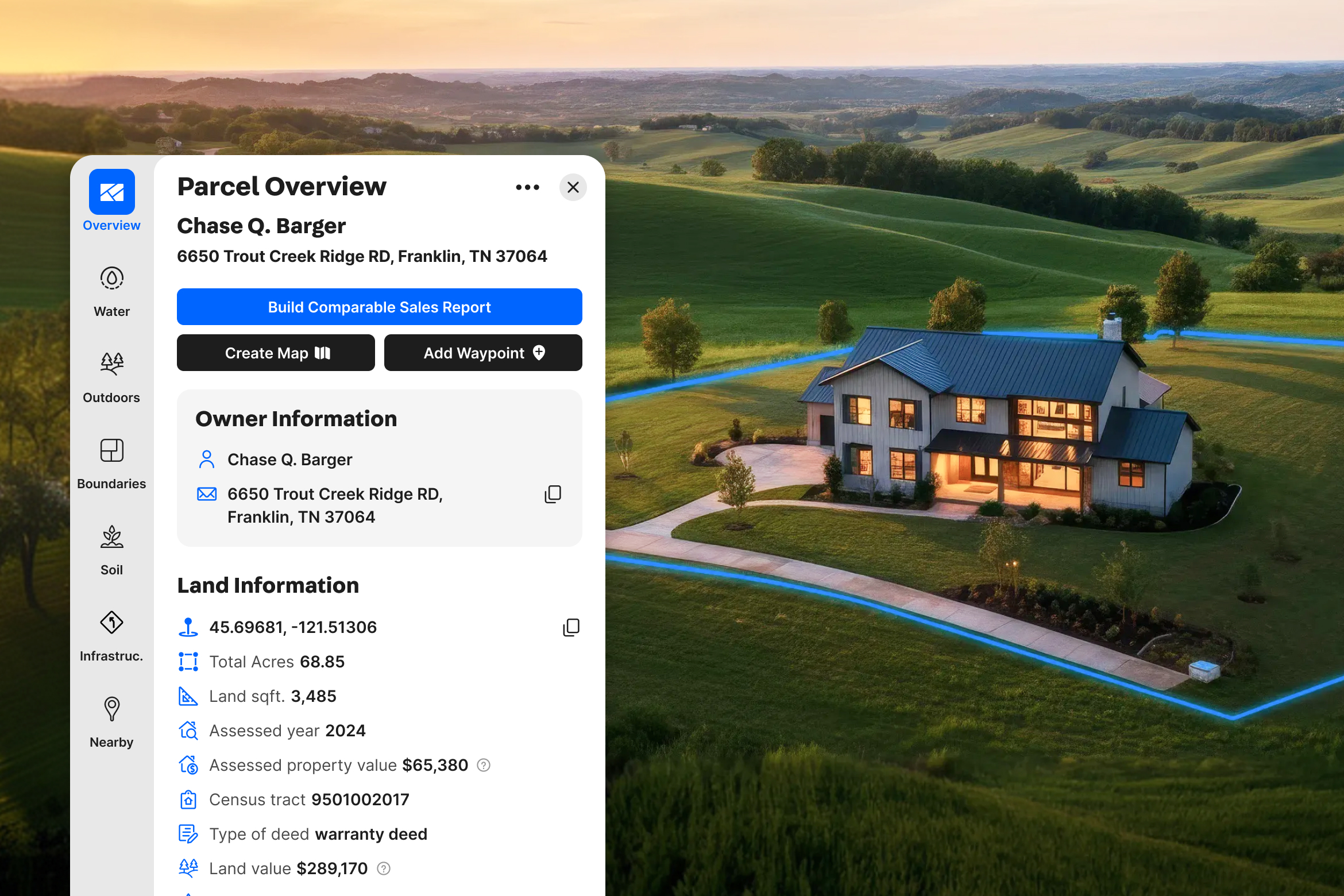
Discover the top six ways to find out who owns a house, building, or piece of property.
GIS Data Collection: Where it Comes From & How it Gets There
By
By Land id
According to Statista, 74 zettabytes of data will be created in 2021 alone - that’s 74 trillion gigabytes. Needless to say, there are massive amounts of data in circulation, and as smart devices become increasingly prevalent, that number is only expected to rise.
Get Your Hands Dirty With a Soils Report
By
By Land id
The dirt we stand on is more important than we may assume; it dictates what we can build, what we can grow, and how we should care for our land. Long story short, without a strong understanding of the property’s soil, we’d be hopelessly ill-equipped to manage it. To ensure they make the best possible decisions regarding their land, landowners can invest in a soils report, an analysis of the soil conditions at a particular site. Easy enough, right?
Get a Bird’s Eye View: Using Aerial Drone Photography to Sell Land
By
By Land id
Drones, also known as unmanned aerial systems (UASs) or unmanned aerial vehicles (UAVs), have evolved greatly since the first ready-to-fly model went on sale ten years ago. Now they’re everywhere. They’ve even landed in the hands of real estate professionals for the purposes of marketing land. Aerial photos and videos grab a prospective buyer’s attention and put the full geographic context of a property on display.
Create Your Own Custom Ranch Map
By
By Land id
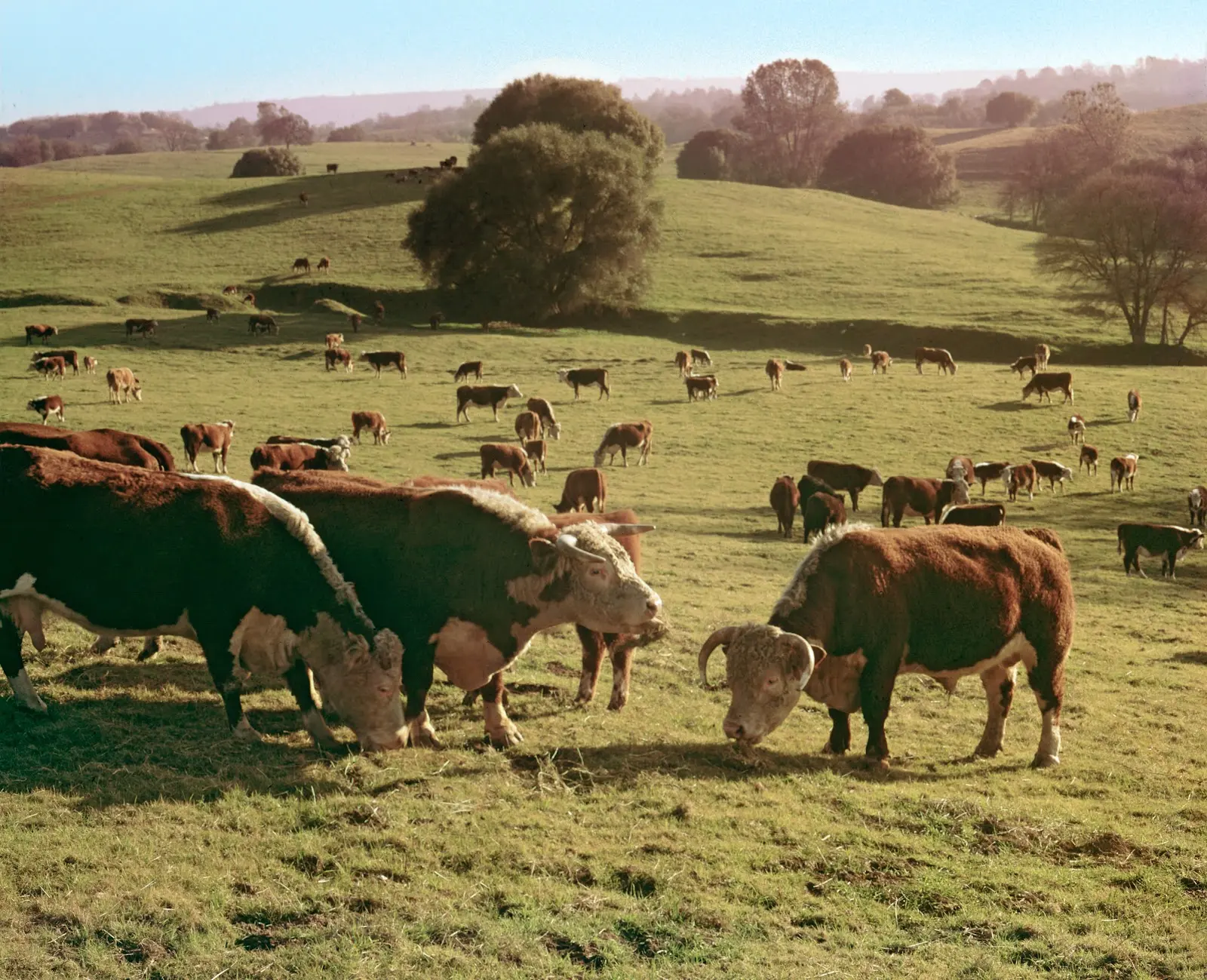
Technology isn’t typically the first thing people associate with ranching, but perhaps it should be. Keeping a ranch involves intensive organization, a good deal of physical labor, a vast knowledge of the natural world - and after all that, there’s still a business to run. Needless to say, managing a large property is a big job, but there are ways to reduce the burden. By offering powerful insights into the land, modern mapping technology can transform the way ranchers conduct their business, make decisions and show off their property.
Why Aren't You Using Real Estate GIS Data Yet?
By
By Land id
A volatile market is one in which the cost of an asset rises and falls in rapid, unpredictable ways. However, that doesn’t mean we need to avoid those assets; often, quite the opposite is true. Real estate is an infamously volatile industry, and it’s one of the best investments a person can make. While a market defined by its fluctuations does pose some risk, it’s those risks that make a payout possible. This isn’t a novel idea; if the price of company stock were to remain fixed, you could never sell it for a gain, rendering Wall Street obsolete. The same principle applies to the housing market - the prices need to fluctuate in order to make a profit.
Land id® Announces the Release of New High Resolution Aerials
By
By Land id
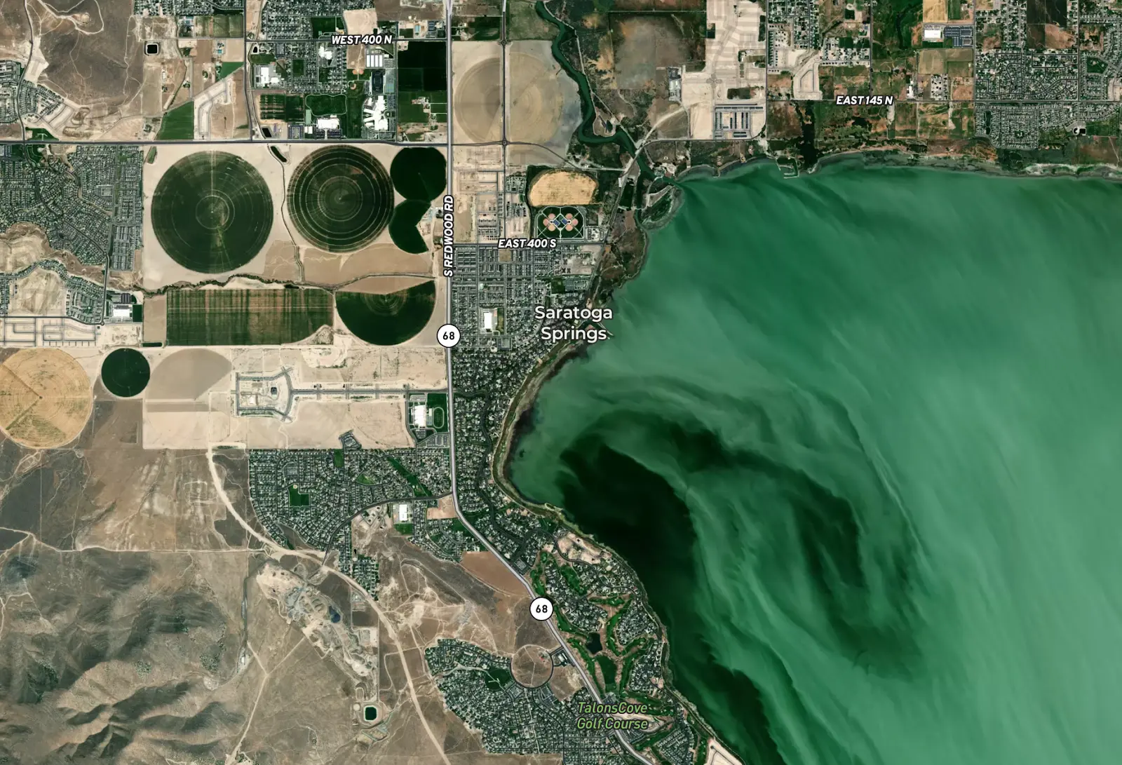
Dallas, TX — April 08, 2021 — Land id® (formerly MapRight) is thrilled to announce a new partnership with Hexagon resulting in the release of two new high resolution aerial options. Our users will now have access to the most superior resolution and up-to-date data available.
No results
Sorry, we don't have any articles that match your search. Try resetting your filters.


