Latest
Six Ways To Find the Owner of a Property
By
By Land id
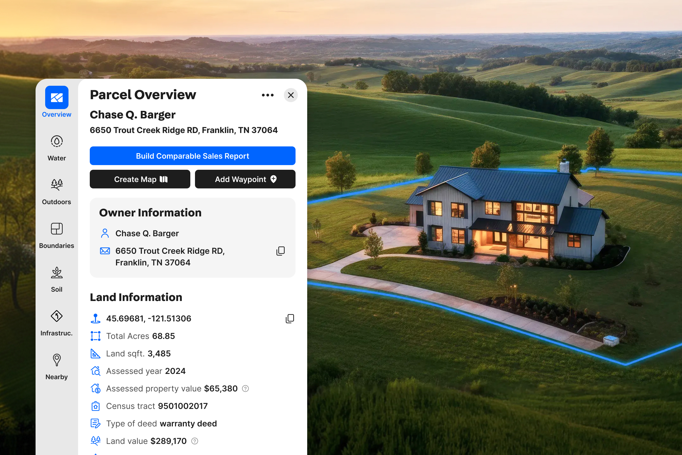
Discover the top six ways to find out who owns a house, building, or piece of property.
The Power of GIS...IN SPACE
By
By Land id
After seven long months in outer space, NASA's Perseverance Rover finally landed on Mars on February 18th, and I’m sure you all saw the images, videos and even audio recordings it’s been sending back to us humans on Earth. Perseverance wasn’t the only mission to Mars last month, though. The United Arab Emirates sent a probe around Mars to study its atmosphere, and China’s Tianwen-1 orbiter reached the red planet, too, with a plan to spend a few months analyzing the surface of the planet before deploying the first non-American rover on Mars.
Get the Most Out of Your Real Estate Map Maker
By
By Land id
The practice of using maps in real estate isn’t a new one; people have been relying on property maps as long as they have been buying and selling land. Until recently, these maps remained largely unchanged. While 20th-century maps were certainly more accurate than those of the previous century, they were still somewhat illegible to those less versed in cartography.
The Importance of Including Land Maps With Property Lines
By
By Land id
As kids, we’re taught that sharing is always the best policy, but that philosophy doesn’t necessarily apply to land. As Robert Frost once wrote, “good fences make good neighbors.” In order to be respectful to those around us and prevent accidental violations, we need to establish clear boundaries.
What do Prospective Land Buyers Want to Know?
By
By Land id
If there is anything remotely positive that has come about as a result of the COVID-19 pandemic, it’s that people have realized that they can truly work from anywhere - which means they can also live anywhere. People don’t need to restrict themselves to metropolitan areas with skyrocketing property values as long as they have a wifi connection. This has driven land buyers across the country to look at buying rural land with new eyes.
Environmental Engineering GIS Tools Have Far-Reaching Applications
By
By Land id
Though we humans make up only a tiny fraction of the diverse communities of organisms that inhabit this planet, our impact is immense. The need for environmental protection reaches far beyond “reduce, reuse, and recycle;” the very basis of our existence is wrapped in our relationship with the natural world. The only way to take care of our people is to take care of our planet.
Your Land Plotting App: Showing the Past, Present and Future
By
By Land id
In real estate, it’s all about the land.
No results
Sorry, we don't have any articles that match your search. Try resetting your filters.


