

As a property owner, you shouldn’t overlook the importance of having your land surveyed and an official land ownership map drafted. Besides locating, measuring and monumenting a property’s boundaries and corners, you’ll also learn other details such as issues regarding legal description, boundary location, trespass, encroachment or other problems. This information can be valuable in many different circumstances, which is why surveyors recommend you have your property professionally mapped before making any major changes.Land, after all, is a huge financial investment, and it should be well understood. More important, though, is the legal consequences that await you if you fail to have your land properly surveyed.
The Importance of Surveying Timberland
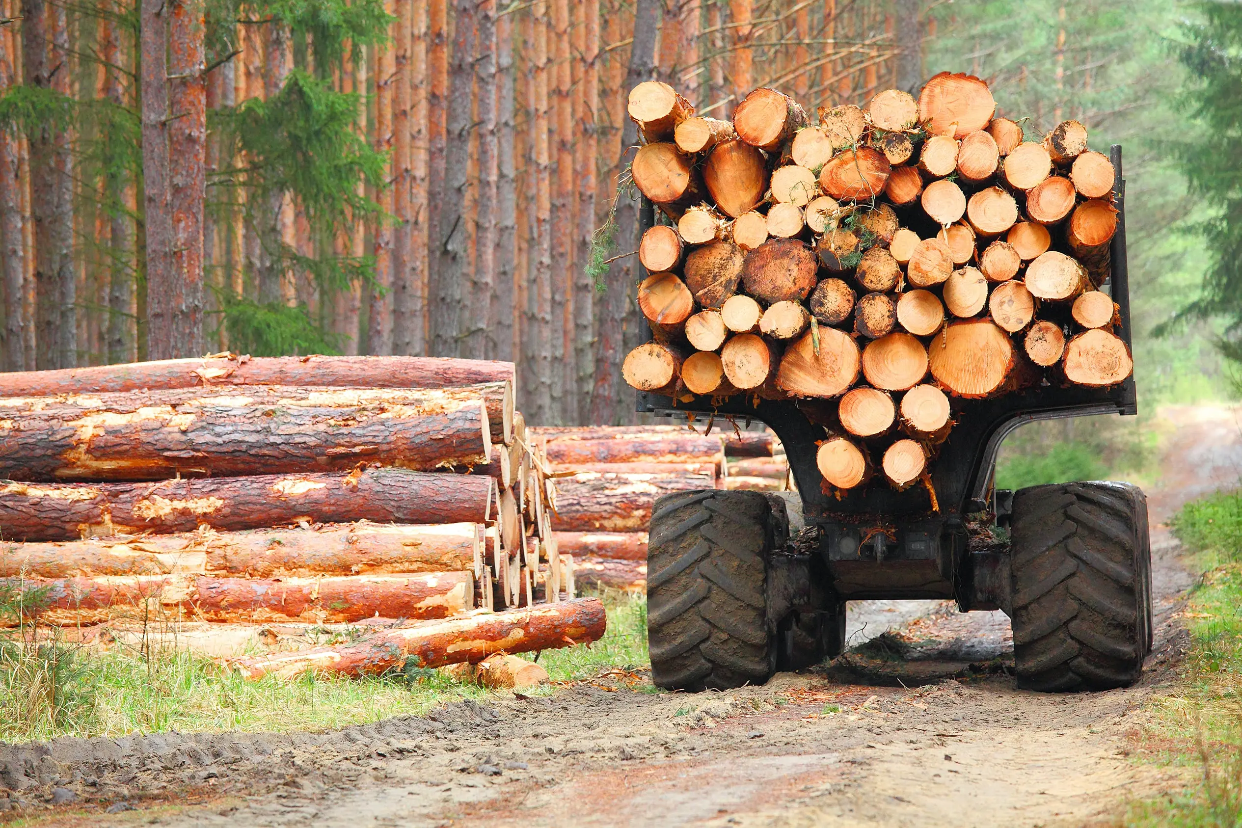
Surveyors recommend having your property professionally mapped before any major changes occur. Changes could include selling, purchasing or mortgaging land, dividing parcels, developing, building or making improvements such as adding fencing or buildings, or willing land to heirs.In most cases, it seems rather obvious when a certified land ownership map is required, but many don’t realize that if you own and plan to harvest timberland, a land survey should be done well in advance of these activities. This will not only help you understand and plan for the future use of your land, but it will ensure that any timber that you cut down is actually yours to harvest. If you accidentally cut timber on your neighbor’s property, you could find yourself contending with expensive lawsuits.
Avoid Costly Mistakes
Only a licensed land surveyor is authorized to establish a property boundary. However, if you have a good modern survey description, you may be able to locate the property boundaries on your own based on evidence and marking customs purposefully left behind by the previous land surveyor. How good a description you have for your land is usually based on how long ago it was created. Older descriptions could have been created using less accurate equipment or references to land features that no longer exist as they once did.If you don’t have a good description of your property lines, obtaining one is your first step. Once you have a good description of line direction, the distance of each line section and a description of the monument or corner at each turn, you can identify your property lines and create a land ownership map for your own usage.
Know Your Corners
It’s important to have the corners of your property clearly marked. When you’re out in the field locating and assessing your property line, a corner is the first place to start. Corners can be monumented in numerous ways including stakes, rocks, trees, stumps, pipes or geographic markers such as a point in a road or stream. Surveyors will usually mark corners in some way, but even if you have a good written description and know what you’re looking for, the location of the corner may not be obvious.It’s worth it for landowners to place their own marker at the corners of your property. These shouldn’t replace or disturb the official surveyor marker, but should help make it easier to find.
Don’t Touch Survey Markers
On the subject of official survey markers, property owners should never move or tamper with any they happen across. No matter how much you wish your property corner was located somewhere else, simply moving the marker will not make it so. These markers were placed based on the legal description for your parcel of land. Changing the distances from what is clearly stated will not trick a land surveyor; it’ll just make their job take a little bit longer, and the more time they spend recalculating your lines, the more money it costs you.
Understand Boundary Identifiers
Besides the corners, finding and identifying the boundary lines can also be very useful. It’s one thing to see your property lines on a land ownership map and knowing the line direction moving away from a corner, and then there’s actually walking these lines in the field.Surveyors will usually mark land boundaries in some way. A popular method is marking trees in some way, sometimes with flags, boundary paint or axe hacks into their trunks. When there are now trees along or near a boundary line, posts or stakes may be installed. No matter what your land surveyor does, make sure you know how they plan to mark the line, and you are able to locate these markings long after they’re gone. Boundary paint is usually a safe bet. It’s easy to spot and only needs to be refreshed about once a decade.
Save Your Plats
During land surveys, surveyors visit your property to determine the correct boundary lines, compare their calculations with those of previous surveys, locate and record previous survey markers and replace any missing markers. They record all their findings in a type of map-diagram called a “plat.” Do not lose your plats.Keeping your plats in a safe, secure place will save you both time and money the next time you need to reference this information. Would you rather quickly pull up a certified land ownership map from your own records or pay your surveyor to do it again?
Be Prepared With GIS Software
Taking the necessary steps to obtain a certified land ownership map and clear land description are the first signs of good land management. With this information, you not only clear the way to implement timberland harvesting or forest conservation activities, you also protect your own land from encroachment and trespass from neighbors.While you should never attempt to mark unmarked boundaries and corners on your own unless you’re a professional surveyor, utilizing a mapping software will help you find property boundaries for yourself and plan future activities on your land. Land id® (formerly MapRight) allows you to fully realize the value of your timberland by calculating land area, distinguishing between the types and age of the timber you own, measure distances, identify and mark land features and much more.You can even take Land id® into the field with you! Every plan has access to our mobile apps, allowing you to reference maps in the field along with your real-time location, save maps for offline usage when cell service is spotty, track and record your GPS location, take and insert photos into your maps and more. With our numerous layering and markup options, we ensure that no matter where you go, you have a reliable, interactive land ownership map for your property at your fingertips.Taking steps to have your land surveyed and acquiring a certified land ownership map is a key requirement for foresters, but the work doesn’t end there. With Land id®, you have the tools to help you understand your land just a click away. Sign up for our free 7-day trial, and start making maps the right way.
FAQs
Continue Reading
Craig Rowe
How Factory-Built Housing Can Reshape America’s Housing Market
.png)
By Land id
The U.S. housing industry’s decade-plus-long inventory challenge could see its first true sign of resolution should the 21st Century Road to Housing Act become law.

Craig Rowe
Can Refurbishing Schools Help Solve Housing Issues?
By Land id
Old public schools are becoming apartments as enrollment drops. See why school-to-apartment conversion is adaptive reuse's fastest-growing niche.


Explore Private Parcel Data & Property Boundaries
Download the Land id app and try for free.
