

As kids, we’re taught that sharing is always the best policy, but that philosophy doesn’t necessarily apply to land. As Robert Frost once wrote, “good fences make good neighbors.” In order to be respectful to those around us and prevent accidental violations, we need to establish clear boundaries.
Property lines are the start and endpoints of a land parcel that define its legal bounds. Though they’re typically based on legal documents such as deeds and surveys, property lines are rarely as cut and dry as one may think.
If your boundary lines are slightly askew, they may not cause any problems - in fact, you might never realize they were off to begin with. However, when boundary disputes do cause issues, they have the potential to devastate a landowner. Ideally, your neighbors will be courteous enough to speak with you before making decisions that could impact your property, but not everyone is so kind. To protect against the legal and financial repercussions of a boundary dispute, you need accurate land maps with property lines.
Knowing Your Property Lines Prevents Disputes
Boundary disputes could be minor, such as when a neighbor wants to cut down a tree on their land that provides shade to yours or when one party wishes to update a shared driveway and split the costs. However, the consequences of these disputes can also be severe. Paired with a vindictive neighbor, major blunders with property lines could lead to the loss of a home, the costly rebuilding of fences and other features, hefty lawsuits or a slew of other issues. Before buying or selling a property, you’ll want entirely accurate land maps with property lines, so you don’t face any boundary disputes down the road.
Property Line Disputes
Property line disputes, or lot line disputes, occur when two or more parties disagree on the location of a property’s boundaries. This type of boundary dispute often arises when a property is surveyed for real estate, construction, and refinancing. If the surveyor finds that the border is not where it was thought to be, the owner may find themselves with a property line dispute.
The solution to this problem is pretty straightforward: turn to the property records. This could take a little digging depending on the property’s age and the amount of red-tape you have to wade through to get the documents, but it will be worth the effort to have the right information when conducting a new survey. By hashing out lot lines before you sign a contract, you can rest assured knowing exactly what you’re getting yourself into.
Access Disputes
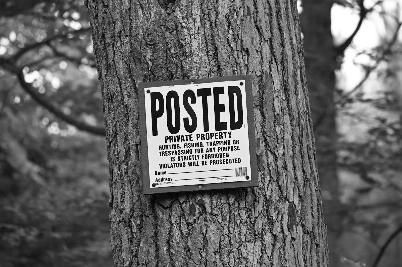
Before investing in a property, especially a rural property, it’s a good idea to plan how your land, and the land surrounding it, can be accessed. If you don’t want anyone on your property, make sure neighbors can get to roads and other necessary resources without crossing your land before you sign the papers. The same holds true in the other direction; if you need to go through neighboring land to get to resources, be sure to have that privilege in writing.
Adverse Possession Claims
Colloquially referred to as squatters rights, adverse possession claims can quickly become a property owner’s worst nightmare. This form of property dispute happens when one party claims rights to a portion of land by occupying it. Adverse possession isn’t necessarily malicious; a person may build on or occupy neighboring land by mistake because their land maps with property lines are incorrect. Regardless of intent, if the landowner doesn’t make specific efforts to remove the person within the timeframe set out by the state, the owner could lose rights to their land. This dispute is best handled before purchasing a property; since every state has its own rules and regulations regarding adverse possession, the law may or may not be on your side.
Knowing Your Property Lines Prevents Encroachments
Encroachments occur when a property owner builds a structure on or hanging over land that is not their own. Encroachments can cause a number of issues. To start, they bar you from using your entire property. Worse? You could be liable for the structures on your land even if you didn’t build them. New construction can raise insurance rates, and if the improvement injured someone, you could be the one to pay.
While they certainly can be, not all encroachments are purposeful; incorrect boundary lines could easily lead someone to develop neighboring land by mistake. There are a few ways to manage an encroachment, and the best route will depend on the situation. If the encroachment appears to be accidental, or if you have a good relationship with the other landowner, the best option may be to speak with your neighbor and work something out. One way to do this is to turn the encroachment into an easement, a formal arrangement detailing a party’s right to use portions of the land. Unfortunately, if they are unwilling to come to an amicable agreement, you may have to resolve the case to court.
The Fencing Problem
One of the most common forms of encroachment is fence building. Every jurisdiction has a slightly different take on where one can build fences, but the general rule of thumbs is 2-8 inches from a neighboring property. The problem is that a few inches is a tiny amount compared to the size of most parcels; if your boundary lines are off by even a few feet, you could accidentally build on neighboring land instead of your own.
When a fence becomes a point of contest, you could be forced to move it, tear it down, or sell that portion of land to your neighbor. Of course, the other property owner might not mind if a fence crosses into their land, especially if that fence was built decades earlier; but when at all possible, it’s best not to build anything new unless you can be certain it’s within your property.
Fences located directly on the boundary between two landowners can also cause some controversy. Regardless of who owns the fence, if it touches two properties, the financial burden of maintaining it could fall on both parties.
How to Find Property Lines
In order to prevent disputes, encroachments, or a fence fiasco, you’ll need to know precisely where your property begins and ends. If possible, you should create land maps with property lines before buying or selling a property, as you don’t want to find a glaring issue after the sale is set in stone.
Physical Markers
One of the simplest ways to determine the boundaries of your property is by physical markers. Relatively new lands might have stakes or other features from when the property was first parceled out, making the edges fairly easy to determine. Other physical markers include natural elements, such as a river, tree, boulder, or mountain range, and human-made features such as buildings or roads.
Deeds or Surveys
Another way to determine property lines is by turning to the property’s deed, the document transferring ownership of an asset from one party to another. Deeds provide a written description of the property, including its boundaries. Often, the property lines are detailed in the form of metes and bounds, which rely on monuments (identifiable features) as starting points. While deeds can certainly be helpful, they aren’t always accurate - especially with older properties. They could contain vague descriptions, monuments that no longer exist, or lines that don’t intersect to form a closed shape the way they should.
Often, surveys are included with deeds. These meticulous measurements show a property’s boundaries and the size and location of buildings or improvements. A survey is typically required to buy, sell, or develop a property, as they often provide more accurate and up-to-date descriptions than those in the original deed.
Maps
Land maps with property lines, or plats, are graphic representations of the property and its boundaries. With Land id® (formerly MapRight) , you can go beyond locating property lines; our clients can add layers for all relevant information regarding their property. To mitigate against access disputes, you can add layers to your map showing roads, water features, or transmission lines to visualize the path you and your neighbors can take to access these resources. Our clients can also use maps to predict how their actions will affect neighboring land. You could add a topography layer to see if building a home will cast shade on adjoining properties, or you could add a layer showing watercourses to make sure fertilizer from your farm doesn’t reach nearby rivers.
Understand Your Land With Land id®
Before buying or selling a property, you’ll want to know exactly what you’re dealing with. Whether you’re new to the game or a seasoned pro, Land id’s intuitive software has all the tools you need to see the full picture of your property. No one wants the headache of a boundary dispute, and no one wants to sink their hard-earned money into solving these problems with a legal battle. By building land maps with property lines before buying or selling, you can rest assured knowing you’ve done your due diligence to protect against any mishaps. Ready to get started? Sign up for a 7-day free trial today!
FAQs
Continue Reading
Craig Rowe
How Factory-Built Housing Can Reshape America’s Housing Market
.png)
By Land id
The U.S. housing industry’s decade-plus-long inventory challenge could see its first true sign of resolution should the 21st Century Road to Housing Act become law.

Craig Rowe
Can Refurbishing Schools Help Solve Housing Issues?
By Land id
Old public schools are becoming apartments as enrollment drops. See why school-to-apartment conversion is adaptive reuse's fastest-growing niche.


Explore Private Parcel Data & Property Boundaries
Download the Land id app and try for free.
