


Over the last few decades, the real estate industry has been making progress with new technology, and today there are a wide variety of real estate mapping tools for every agent's needs. From agents who sell homes to those who sell office buildings, commercial property, or even land, there are tools to help real estate agents of all types better serve their clients and run their businesses more effectively. This technology allows agents to harness the power of geospatial data to streamline tasks, like finding the perfect home for their clients or selling as many houses as possible as quickly as possible.
In this article, we'll go over the real estate mapping tools that will work best for each type of agent and how you can use them to begin improving your real estate business today!
Types of Real Estate Agents
In real estate, there are many different types of agents that focus on certain types of clients. From buyer’s agents to seller’s agents or agents who do a bit of both, each has its own set of skills and specialties that make them unique in the industry. Let’s look at a few of the different types of real estate agents and how they utilize GIS software to better serve their clients.
Buyer's Agents
A buyer’s agent is a real estate agent specializing in finding a home for someone looking to buy. They do not list a property but instead find out what their client’s needs are and help find properties that match their requirements. A buyer's agent will also negotiate with sellers on behalf of the client, set up showings, and more.
Buyer’s agents can use GIS software to research potential properties and determine whether or not the area surrounding a property is desirable for their client's needs (looking at features such as proximity to parks, schools, and shopping centers). Some buyers may have very specific requests, like a minimum acreage or land use designation. Some real estate mapping tools allow agents to pull all data on properties in a given area and filter by desirable qualities. This allows you to present the locations of every property that meets your buyer’s criteria in an area. Then they can determine which locations are the most ideal and go from there.
Seller's Agents
A seller’s agent is a real estate agent who focuses on helping people sell their property. Seller’s agents make it their responsibility to market the homes they are representing by listing them in multiple places to ensure that as many potential buyers see them as possible. To ensure that the homes they represent are competitive, seller’s agents ensure that each sale property is priced appropriately for what the market will bear. When a home sells, they’re also responsible for ensuring that all parties involved in the transaction have completed the appropriate paperwork before closing.
A seller's agent may use mapping tools to attract clients in different ways. With GIS, sellers can identify and highlight points of interest like schools, parks, and other amenities in the surrounding neighborhood on an interactive map. For larger properties, seller’s agents can use custom real estate mapping tools to showcase a property in all of its glory, calling out buildings and infrastructure, land features, roads and trails, and more. You could even attach photos, videos, and other relevant documents for easy reference. This gives potential buyers a unique way to digest property details and form a better understanding of the land before they even step foot on the property.
Dual Agents
A dual agent is a real estate agent representing both the buyer and seller in a transaction. Dual agents are allowed in most states, but their duties vary depending on the state where they are licensed. Because they represent both parties, their duties will closely resemble those of buyer’s and seller’s agents.
Being a dual agent puts you in the unique position of having all of the inside information about the properties being sold as well as an understanding of exactly what a prospective buyer is searching for. This means you can create a map of a property that is tailored to address a property’s unique attributes as they relate to a buyer’s specific desires and needs. To keep track of your ever-growing list of properties you’ve helped to buy or sell, you can also use real estate mapping tools to develop a proprietary comparable sales database. This will be an invaluable asset for you as you help clients determine or negotiate pricing.
Commercial Real Estate Agents
As the name suggests, a commercial real estate agent is someone who specializes in the sale and leasing of commercial properties. The focus is on commercial properties such as warehouses, retail spaces, office buildings, and other commercial spaces. Because of the nature of commercial real estate, the process for selling these properties is slightly different than it would be for residential properties. For example, many commercial buyers are more interested in finding potential uses for the property rather than only its location or price tag.
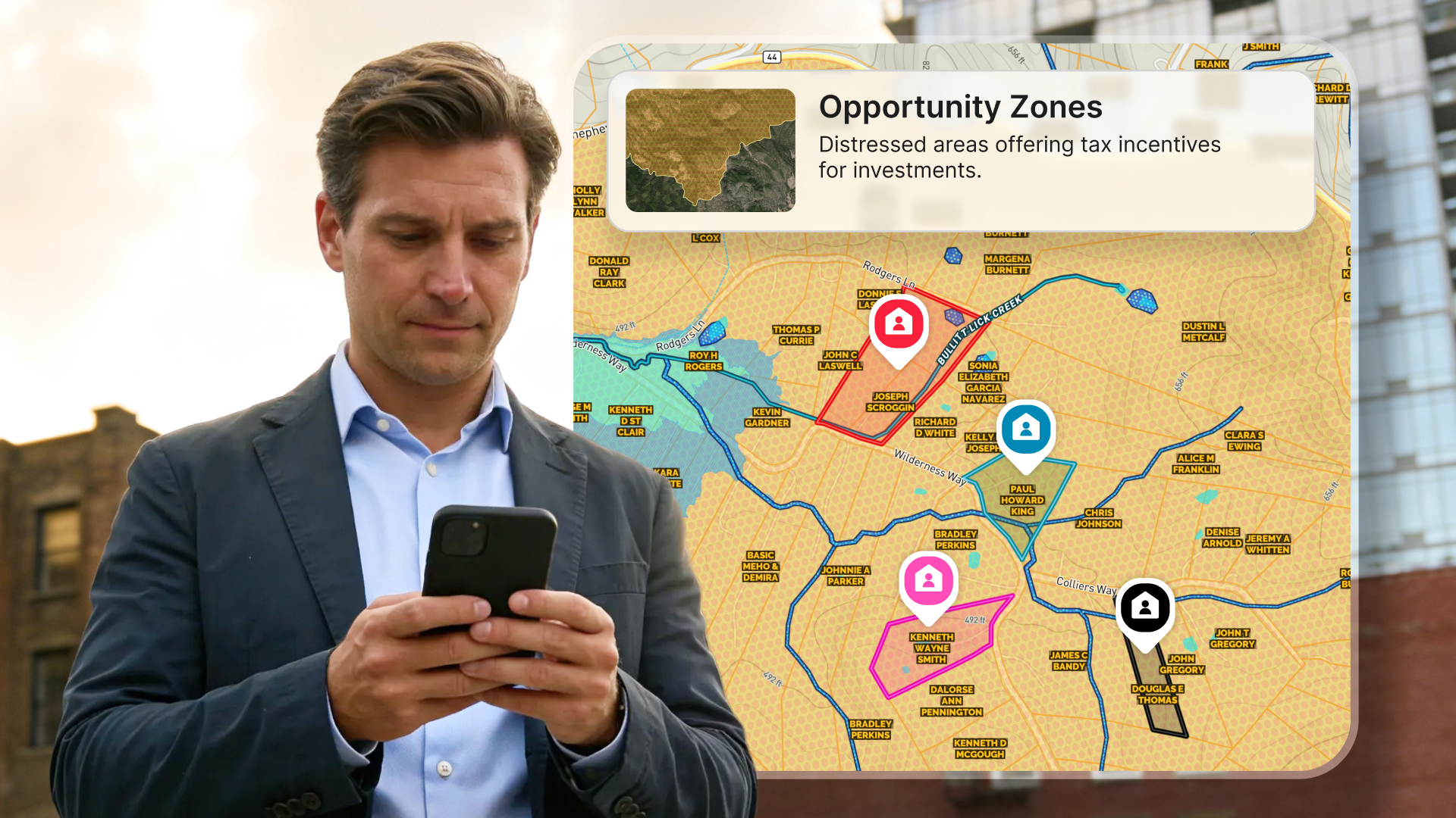
Commercial agents often utilize real estate mapping tools to help find locations for a company based on their requirements such as zoning laws or available infrastructure. Agents will then map out what would be best for them regarding zoning laws, utilities, and logistical needs. When selling or leasing a commercial property, agents will also use real estate mapping tools to help their clients understand what the property offers. A commercial real estate agent may also use this technology when showing potential sites to a company. In that case, the agent would place pins on the digital map representing features that might attract one business over another or even create detailed maps of the property highlighting key features. With the right solution, they can add photos and videos of the site, mark and annotate the layout and assets, and include map layers for attributes such as soil composition, elevation, floodplains, wetlands, and more.
Upgrade Your Real Estate Mapping Tools with Land id®
Whether you're selling a residential home or assisting a business to expand to a new location, it's crucial to use the most powerful real estate mapping tools available, such as Land id® (formerly MapRight). Land id® was designed with real estate in mind. In addition to harnessing real estate GIS data to create mailing lists, agents can also use Land id® to make their listings stand out from the competition. Whether you need to showcase aerial photography, call out unique features of a property, or illustrate the various qualities of a land parcel, Land id® is packed with all the powerful features you need.
Once you've crafted the perfect map for a property, easily share it on your website and third-party listing sites or simply email or text it to clients. With Land id®, you finally have a means to spatially communicate key property details in a convenient way. Ready to upgrade your real estate mapping tools and wow your clients? Sign up for our 7-day free trial today and build your first map in minutes.
FAQs
Continue Reading
How to Create a Polished Property Marketing Asset in Under 3 Minutes
By Land id
Stop manual property marketing work. Learn how to create professional, polished property assets in under 3 minutes with Land id's Property Tour.

Prospecting, Part 1: Find More Seller Leads
By Land id
Part one of our prospecting series helps real estate professionals uncover untapped seller leads using Land id.

Explore Private Parcel Data & Property Boundaries
Download the Land id app and try for free.
