Historically, real estate agents made decisions based on professional experience, past trends, and gut instinct. Those things are just as important as ever, but today, a new player has entered the world of real estate: real-time real estate parcel data.
Data plays a critical role in modern real estate. When a client’s future home is on the line, you want to help them make the most informed decisions they can, and that’s only possible if you have the most accurate, up-to-date information available. Now, you might be wondering: where do I find this data? Well, you could go to the courthouses and look through old documents, check out an MLS, or get the best of both with a real estate parcel map. Below, we’ll dive into the many benefits of these parcel maps, how you can use them in your own business, and a few useful features you’ll find in Land id® (formerly MapRight).
The Many Uses Of Real Estate Parcel Maps
Parcel data doesn’t just describe the exact boundaries of a piece of land. It covers everything there is to know about it: the price it was sold for, land use, building purpose, the owner’s information, building details such as the number of bedrooms, exterior wall type, year built, heating type… and that’s just the tip of the iceberg. With all of this data on both the property and similar properties in the area, you’ll be able to equip your clients with everything they need to choose a home that’s perfectly suited to them.
Gain Access To Historical Property Data
One of the main benefits of real estate parcel data is that it will give you the full story of a property. You can see how long each resident stayed at the property, what the mortgages have been like, what the taxes on that property have been historically, and more. For instance, say you have a client wanting a home that looks brand new. With parcel data, you can easily find homes that were either built or renovated after a certain date within their price range.
Paint A Picture For Clients
Moving, even if it’s just down the street, is a big adjustment, but you can make the experience far less stressful for new homebuyers by giving them a holistic view of the property before they sign over their hard-earned money. With a real estate parcel map, you can showcase the most important features of a property. You can attach photos and videos to specific locations on the map to help them get a feel for the property, include labels and icons to help them spatially understand the land, and add measurements so they can visualize the scale.
That being said, the property itself is just one piece of the full picture. The neighborhood and amenities are just as important, if not more so. How close you are to public transportation and highway infrastructure can be the difference between a 15-minute commute and a 3-hour one, proximity to shops and restaurants will influence what people can realistically do in their free time, and where your clients’ kids can go to school will have a major impact on their lives for years to come. In short, location is a big deal. With a parcel map, you can highlight anything and everything your clients might need to know about an area so they can choose one that fits not only with their budget, but also with their ideal lifestyle.
Compare Properties
Considering the financial impact of buying a property, your clients will want to know that they are making the right decision. A comprehensive property comparison can help assure them that they are. By analyzing real estate parcel data, you can almost instantly find properties in the area with similar sizes, selling prices, and virtually any other features your client requests. With this data, your buyer can rest assured that the home they choose is the best option.
Get The Most Out Of Your Real Estate Data With Land id®
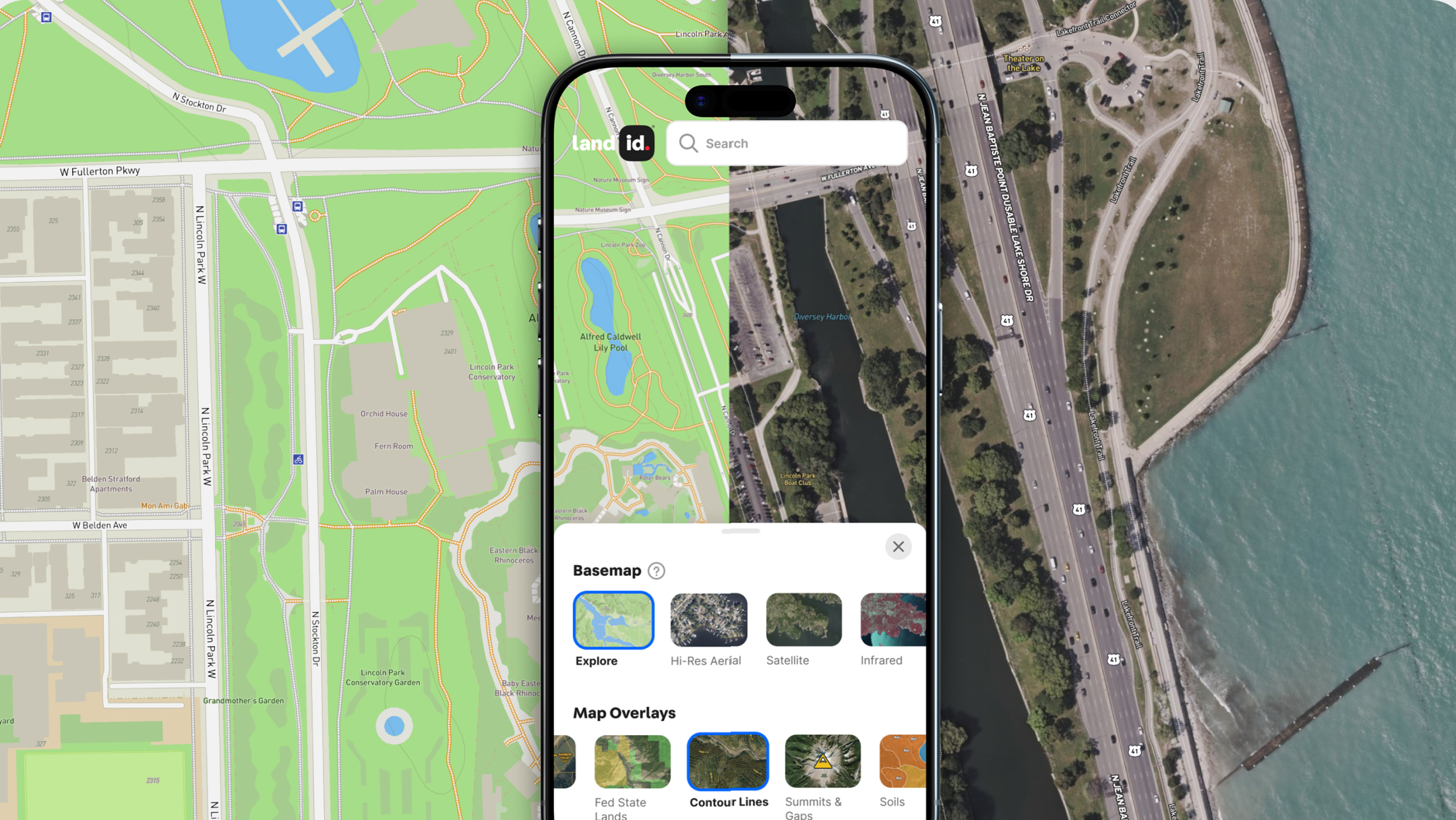
Land id® has the accurate, up-to-date parcel data you need to take your real estate business to the next level. With the click of a button, you can instantly view property boundaries, in-depth ownership information, APN numbers, the most recent tax information, size, legal descriptions, and more – and if you need to narrow down your search, you can! With our Parcel Search feature, you can filter through parcels by APN number, landowner name, or coordinate location and see every property in a given region that matches your query.
Of course, gathering data is just step one. Once you’ve found the information you need, you can add it to your map, build a custom comparable sales database, or create and export mailing lists of landowners. You can even use your list of landowners when sending out mailers right from our postcard store. And that’s not all. In-depth parcel data is just one of Land id®'s features. When you create a Land id® map, you can also add soil surveys, plot deeds, include labels and icons, and toggle on GIS layers such as school districts, flood plains, land use, city and county data, and much more.
When you’re happy with your map, you can then share it over email or text, or upload it to your website with the embed script we provide. But, regardless of how you share it, with a Land id® map, painting a holistic picture of the land for your clients is a breeze. Sign up for your 7-day free trial now, and see the difference for yourself!
FAQs

Continue Reading


