


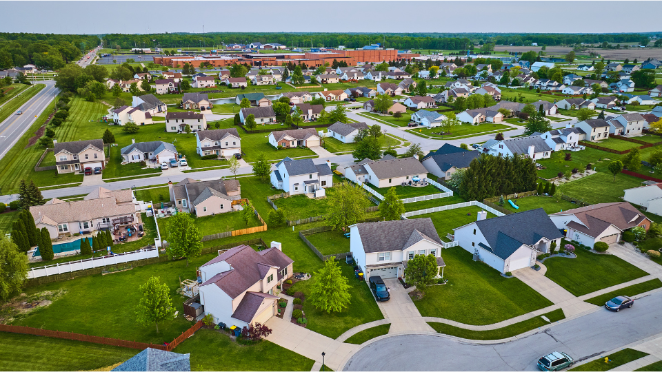
Ever wondered about the exact dimensions of your property, the location of underground utilities, or whether that charming shed technically encroaches on your neighbor's land? The answer to all these questions (and many more) lies in a crucial document: your property survey.
This comprehensive guide will equip you with the knowledge and tools to locate your property survey online. We'll delve into the significance of these records, navigate the different avenues for accessing them, and introduce you to a valuable resource that can streamline the process: Land id®.
Main Takeaways From This Article:
- Property surveys confirm boundary lines, preventing legal disputes and ensuring compliance with local regulations.
- Understanding and utilizing property surveys can support real estate transactions and boost property value, helping you make better investment choices.
- Components of a property survey typically include property boundaries, easements, and physical structures.
- Access to online databases, public records, and professional services can help locate detailed property surveys for planning and development projects.
- Utilizing platforms like Land id® enhances your ability to access accurate survey data and make informed property decisions.
Understanding Property Survey Records
Imagine a detailed blueprint specifically for your property. A property survey is essentially a comprehensive document outlining the physical characteristics and legal boundaries of your land.
A property survey, created by a licensed surveyor using specialized equipment, goes beyond a simple plot of land. It's a map that unlocks valuable information about your property, empowering you to make informed decisions and avoid potential headaches.
Components of a Property Survey
Your property survey serves as a wealth of information, typically containing the following details:
- Property Boundary Lines: This clearly defines the exact legal perimeter of your ownership, eliminating ambiguity and preventing potential disputes with neighbors. The survey will depict these boundaries through precise measurements and clear markings, ensuring everyone knows exactly where your property ends and your neighbor's begins.
- Buildings and Structures: The survey documents every structure on your property, from your main house to the shed in the backyard. It meticulously records its location and dimensions, clearly showing your property's built environment.
- Topographical Features: The survey may depict any natural features on your property, such as slopes, elevations, or even waterways. Understanding these features is crucial for planning future development projects.
- Easements and Rights of Way: Legal limitations on your land use might exist. Easements and rights of way outline these restrictions. For instance, the survey might reveal an easement granted to a utility company, allowing them access to underground power lines beneath your property.
- Utilities and Services: The location of underground utilities like pipes and cables is often documented in the survey. This knowledge is invaluable when planning any digging projects or landscaping renovations.
- Zoning Classification: The survey can reveal the zoning classification of your property, revealing the permissible uses according to local regulations. This helps ensure that any construction or renovation plans comply with the law.
- Legal Description: Your survey provides a precise textual description of your property's boundaries beyond the visual map. This description will reference specific measurements, angles, and permanent monuments to provide an unambiguous legal definition of your property's extent.
- Access Points: The survey documents all the entry and exit points to your property, from the grand driveway to the side walkway, so you can clearly understand how people and vehicles can access your land.
- Encroachments: The survey can identify any structures or features extending onto your property from a neighboring area, helping you address potential encroachments and protect your land.
The Significance of Property Surveys

A property survey might be a seemingly simple document, but it holds immense power when it comes to your property. Here's how a readily available property survey can empower you:
Clarifying Property Lines
Not knowing where your property lines are can cause problems. A property survey gives you a clear and legal outline of your land. It's like having a map that shows exactly what you own, helping you avoid arguments with neighbors. No more guessing where to put the fence or arguing over which garden plant belongs to whom!
Preventing Legal Disputes
Boundary disputes can be a costly and stressful experience. Having a well-documented property survey with clear and accurate information can be a lifesaver in such situations. If you have a disagreement with a neighbor, a survey serves as solid proof of your property’s boundaries, which can help you avoid costly legal fights and save you time and money.
Facilitating Real Estate Transactions
A recent survey is often a requirement when buying or selling a property. It simplifies the process for everyone. Showing this survey to potential buyers proves you're being transparent, which can make your property more appealing and possibly increase its value. When you're the buyer, having a survey helps you know exactly what you're purchasing, with no hidden issues about property boundaries.
Ensuring Compliance with Local Regulations
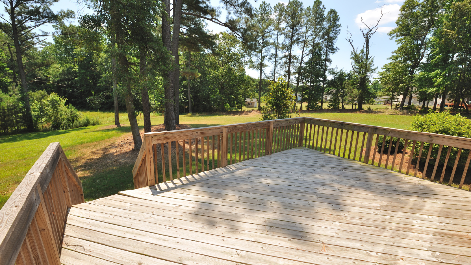
Are you planning to build a dream deck or renovate your basement? Your property survey plays a crucial role here. By referencing the documented layout and features of your land, you can ensure your project adheres to local regulations regarding setbacks, permissible structures, and zoning restrictions. This can save you from costly fines or having to redesign your project halfway through.
Supporting Development and Renovation Projects
When it comes to making informed decisions about construction or renovations, a property survey is your trusted advisor. The accurate knowledge it provides about your property's layout, dimensions, and any hidden features empowers you to plan effectively. You can confidently determine project feasibility, ensure optimal placement of structures, and avoid any surprises lurking beneath the surface.
Enhancing Property Value and Investment Decisions
Understanding your property's true potential starts with a clear understanding of its boundaries and features. A readily available survey empowers you to showcase the full value of your land to potential buyers or investors. It also allows you to make informed investment decisions, ensuring you get the most out of your property.
How To Access Property Survey Records
Now that you understand the immense value of a property survey, the next question is: How can you get your hands on it? Let's explore some common ways you can access your property survey offline and online, making this crucial document readily available at your fingertips.
Consult Public and Private Databases
Both public and private databases house extensive records that can provide you with the property survey information you need. Public databases are generally maintained by local government offices, such as county assessors' or recorders' offices. They can be accessed either online or in person, often for a nominal fee or sometimes even for free.
Private databases, on the other hand, are typically managed by real estate companies, title companies, or specialized online platforms. A title company or real estate firm might have more detailed and sophisticated tools for finding specific survey records. It’s often worth exploring both types of databases to get the most comprehensive view of your property’s documentation.
Navigate Local Government Resources
Many local governments understand the value of transparency and readily available information. This often translates to online portals where you can access public records, potentially including property surveys.
Here's a breakdown of how to navigate these resources:
- Locate Your Local Government Website: This is typically your county or city's ".gov" website. Search for it using a trusted search engine to ensure you're on the official government website.
- Explore GIS or Property Records Sections: Look for departments or sections dedicated to Geographic Information Systems (GIS) or property records. These departments often manage and maintain online databases containing property information.
- Search by Address or Property Identification: Once you locate the relevant section, utilize the search function. You might be able to search by your property address or a unique property identification number. Land id® has access to over 140 million property records, including the property id.
- Download or View Available Records: If your property survey is available online, you'll likely see options to download it as a PDF file for future reference or view it directly on the website. Downloading a copy allows you to have it readily available even when there's no internet connection.
Keep in mind that availability and accessibility can vary depending on your location. Some areas boast well-organized online databases, while others might require a visit to the local courthouse.
Utilize Online Platforms
Several online platforms act as aggregators for property records, potentially including property surveys. These platforms offer a convenient one-stop shop for property information, allowing you to search for details about your land and potentially access your survey.
Here's what you can expect:
- Fees Often Apply: While some government platforms might offer free access to basic property details like ownership information, accessing detailed data like surveys can often require a fee.
- Convenience: Utilizing free government online platforms can be a good experience, but each location varies. With an aggregated online platform, like Land id® you are guaranteed a seamless experience city to city, county to county, and state to state, all in one place..
- Platform Functionality Can Differ: Each locale is typically responsible for building and maintaining their GIS platform. This leads to a different experience and capability from one side of the county to another. Tools like Land id® take away this uncertain experience, and give you a uniform app nationwide.
The best online approach depends on your needs and budget. If you're comfortable navigating government websites and prefer a free option, exploring your local government's resources is a good starting point. However, if you prioritize convenience give Land id® a try.
Engage Professional Services

If your online search for your property survey comes up empty, or you require a brand new survey for specific purposes, consider contacting a licensed surveyor. They can conduct a comprehensive survey of your property, providing a detailed and up-to-date record tailored to your needs.
Here's what you can expect when engaging professional surveying services:
- Licensed Professionals: Peace of mind is paramount. Ensure you're working with a licensed surveyor in your area. They'll possess the necessary expertise, qualifications, and insurance to guarantee a high-quality survey that meets all legal requirements. Look for surveyors who are licensed by your state licensing board and have a proven track record of excellence.
- Custom Survey Services: Licensed surveyors can conduct various types of surveys depending on your specific requirements. This might involve boundary surveys, topographic surveys, or construction surveys.
- Cost Considerations: Professional surveying services typically involve a fee, which can vary depending on the complexity of the survey, the size of your property, and the surveyor's experience.some text
- Complexity of the Survey: A simple boundary survey for a small property will likely cost less than a complex topographic survey for a large plot of land.
- Size of Your Property: The amount of land that needs to be surveyed will naturally influence the cost.
- Surveyor's Experience and Reputation: Highly experienced and reputable surveyors may command a premium for their expertise.
Enhance Your Property Survey Process With Land id®
Finding your property survey online can be straightforward, but navigating public databases and managing different platforms can be time-consuming. This is where Land id® can simplify the process.
Land id® isn't just another website listing property details. It's a user-friendly platform designed to empower you with a comprehensive view of your property, all in one place.
Here's how Land id® can revolutionize your property survey experience:
- Simplified Search: Forget scouring complex government websites. With Land id®, simply enter your details and let the platform do the searching.
- User-Friendly Interface: Land id® boasts a clean and intuitive interface. You don't need to be a tech whiz to navigate the platform and access the information you need.
- Consolidated Information: Land id® goes beyond basic property details. It provides a clear and detailed map of your property boundaries, potentially including your property survey data.
- Additional Property Insights: Land id® offers a wealth of additional property data beyond surveys. This can include information about floodplains, land value trends, and zoning classifications.
So, are you ready to take a simpler route to finding all your property records online? Sign up for a 7-day free trial of Land id® and start exploring its vast database for your property records.
FAQs
Continue Reading
Craig Rowe
How Factory-Built Housing Can Reshape America’s Housing Market
.png)
By Land id
The U.S. housing industry’s decade-plus-long inventory challenge could see its first true sign of resolution should the 21st Century Road to Housing Act become law.

Craig Rowe
Can Refurbishing Schools Help Solve Housing Issues?
By Land id
Old public schools are becoming apartments as enrollment drops. See why school-to-apartment conversion is adaptive reuse's fastest-growing niche.


Explore Private Parcel Data & Property Boundaries
Download the Land id app and try for free.
