

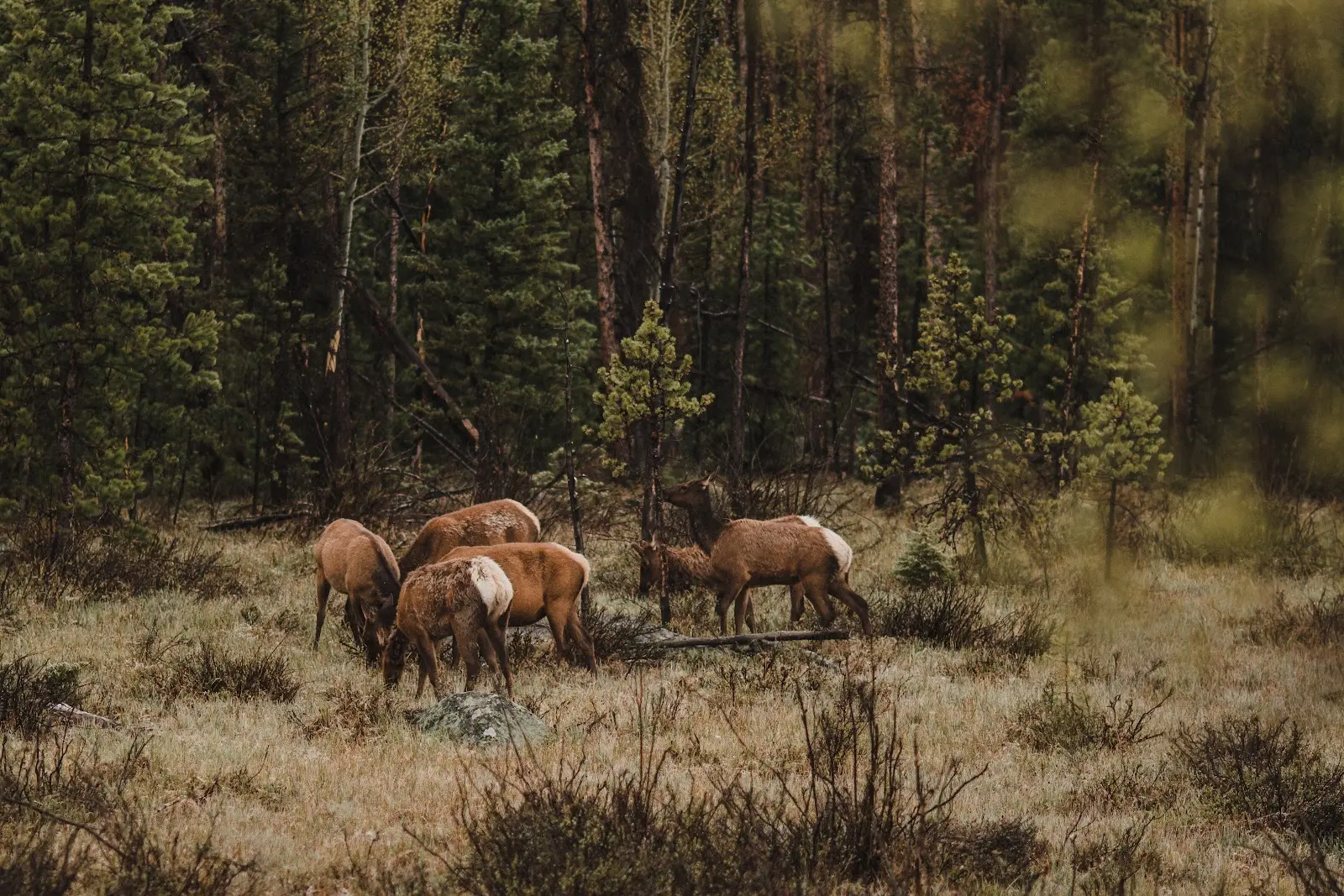
In the past, conservation efforts aimed at protecting ecosystems and ensuring biodiversity have been criticized for failing to consider the needs of humans, but it turns out the researchers, activists, and policymakers doing this arduous work have been working for the benefit of humanity all along. Researchers at King's College London have found that by targeting conservation efforts on areas which provide key contributions to people, we can also sustain much of global biodiversity and support climate change goals.
Their analysis shows that conserving just 30% of the Earth's land and 24% of coastal waters would sustain 90% of nature's current contributions to people (such as food or clean drinking water) in every country. Not only is this study the most comprehensive mapping of nature’s global contributions to be published, it shows how researchers are using GIS for conversation at a grand scale, mapping important factors such as livestock fodder, commercial and domestic timber, fuelwood, and flood regulation in order to prioritize land conservation.
Government agencies, researchers, and nonprofits also use GIS for conservation efforts—albeit on a much smaller scale typically. It's a powerful, versatile tool that helps conservationists understand critical issues surrounding the use of land and natural resources so the best decision can be made in each circumstance.
How Can Conservation Projects Benefit from GIS?
In case you’re still a bit unsure about what GIS (geographic information system) is, it’s a technological tool that displays geographical data in ways that helps inform decisions. It does this by:
- Allowing you to associate data with real places
- Creating unique maps from information you create/generate
- Integrating information from multiple sources
- Helping you identify spatial relationships
As you’ll see, these capabilities are especially helpful in conversation projects.
Access to Location-Based Data
Since conservationists are focused on addressing threats to the natural environment and wildlife, conservation efforts are almost always tied to location in some way. Whether the issue at hand is habitat loss, deforestation, or pollution, mapping the data collected is necessary to understand how biodiversity and habitat preservation are being threatened. In a GIS application, your data is tied to a specific geographic location, allowing you to visualize information instead of parsing through spreadsheets or charts.
Additionally, GIS enables conservationists to access and map current, historical, and time-specific information. This means that not only can you analyze spatial relationships, you can analyze the relationship between space and time, as well. When you’re trying to investigate changes in land use patterns, watershed boundaries, or plant distribution—and the factors that could be influencing these changes—GIS is an invaluable asset.
Integrate Disparate Information in One Place
Formulating a conservation strategy often requires analyzing numerous sources of spatial information. As long as the data you have comes in raster or vector form, GIS gives you the ability to bring everything into one place. I’m sure you can see the value in being able to view and compare different types of data alongside one another. Not only would you be able to spot spatial relationships within a single dataset, you could spot them between datasets.
From a project management perspective, it’s also convenient to have a GIS application that can serve as your single source of truth. With all of your most critical findings centrally stored, it’s much easier to explore hypotheses, identify gaps in information, and easily illustrate the work you’ve completed to date for stakeholders.
Identify Relationships
Whether it’s identifying relationships between a data point and a land feature, a data point and another data point from the same dataset, or data points from different datasets, documenting these relationships is one of the biggest benefits of using GIS for conservation efforts. In a GIS software, data are contained in layers that can be overlaid with one another, allowing you to spatially analyze vastly different characteristics simultaneously and identify connections you might not have noticed otherwise.
For instance, GIS could help you look at urbanization trends and known food and water sources for animals to see if and where they’re losing access to these resources. Or, you could look at human assets such as parks, green spaces, trails, and recreation areas alongside occurrences of invasive plant and animal species to identify where initial introduction could have happened.
By visualizing where sensitive habitats exist, you can then determine where conservation practices may need to be implemented, and ultimately, assess how effective your conservation strategies have been.
Create & Monitor Conservation Strategies
As our communities grow, conservation efforts become more and more crucial to protect green spaces and ensure the ecosystems surrounding us continue to thrive. No matter who is leading the charge—whether it be a local economic development agency, an environmental nonprofit, an eco-conscious land developer, or even a private landowner—using GIS for conservation enables users to identify areas to target, set conservation goals, and track the progress of these activities over time.
Imagine you’re a land developer tasked with planning and building a new golf course, and you want to make sure your project won’t negatively affect sensitive habitats and animal populations. GIS would allow you to overlay your project plans with area geography, water features, plant cover, any known protected habitats such as wetlands, and any other data you can get your hands on.
From there, you can identify where your proposed plans impact existing habitats and make adjustments such as modifying planned boundaries, ensuring heavy traffic areas will be placed far away from food and water sources, and maintaining appropriate tree coverage and plant life. As development progresses and your adjustments are implemented, GIS can also be used to measure their effectiveness.
Keep Conservation Tools at Your Fingertips With Land id®
GIS can be a game changer for conservationists, but in the past it wasn’t always easy to utilize this vital tool. Historically, one of the biggest challenges in using GIS is the complexity and high price-point of the software. That’s why we developed Land id® (formerly MapRight).
Land id® provides our users with an easy-to-use GIS platform that consolidates data sources, synthesizes and corrects them to make them easier to view and combines, and organizes different types of data into a single, interactive map. On every map, you have access to dozens of mapping layers and overlays to help you gain a better understanding of any area. It’s easy to compare this data, too. Want to view soil type alongside FEMA floodplains, or land use alongside wetlands? On Land id®, it just takes a few clicks.
On any Land id® map, you also have the ability to create custom geographic databases, allowing you to analyze anything from timber stands to undeveloped real estate. You have full control over what feature groups you track on a map, and you can even choose what details should be recorded about each item. With our georeferencing tool, you have the ability to overlay a survey or site plan on top of your map, as well, so there essentially isn’t any type of data Land id® can’t handle. You can even attach photos and videos to points on your map.
Whether you’re using GIS for conservation, real estate, land management, or renewables, Land id® makes this technology easy to access and master regardless of your needs. Request a demo or sign up for a 7-day free trial to get started today.
FAQs
Continue Reading
Craig Rowe
5 Real-World Land id Workflows Worth Borrowing
.png)
By Land id
See helpful examples of how real estate pros use Land id to win listings, market properties, plan developments, and make smarter data-driven decisions.
Alyssa Toohey
Off the Map & In Person: The Land id Team Gets Together

By Land id
The Land id team came together in Montana for collaboration, connection, Big Sky views, PBR, Yellowstone, and plenty of memorable moments.


Explore Private Parcel Data & Property Boundaries
Download the Land id app and try for free.
