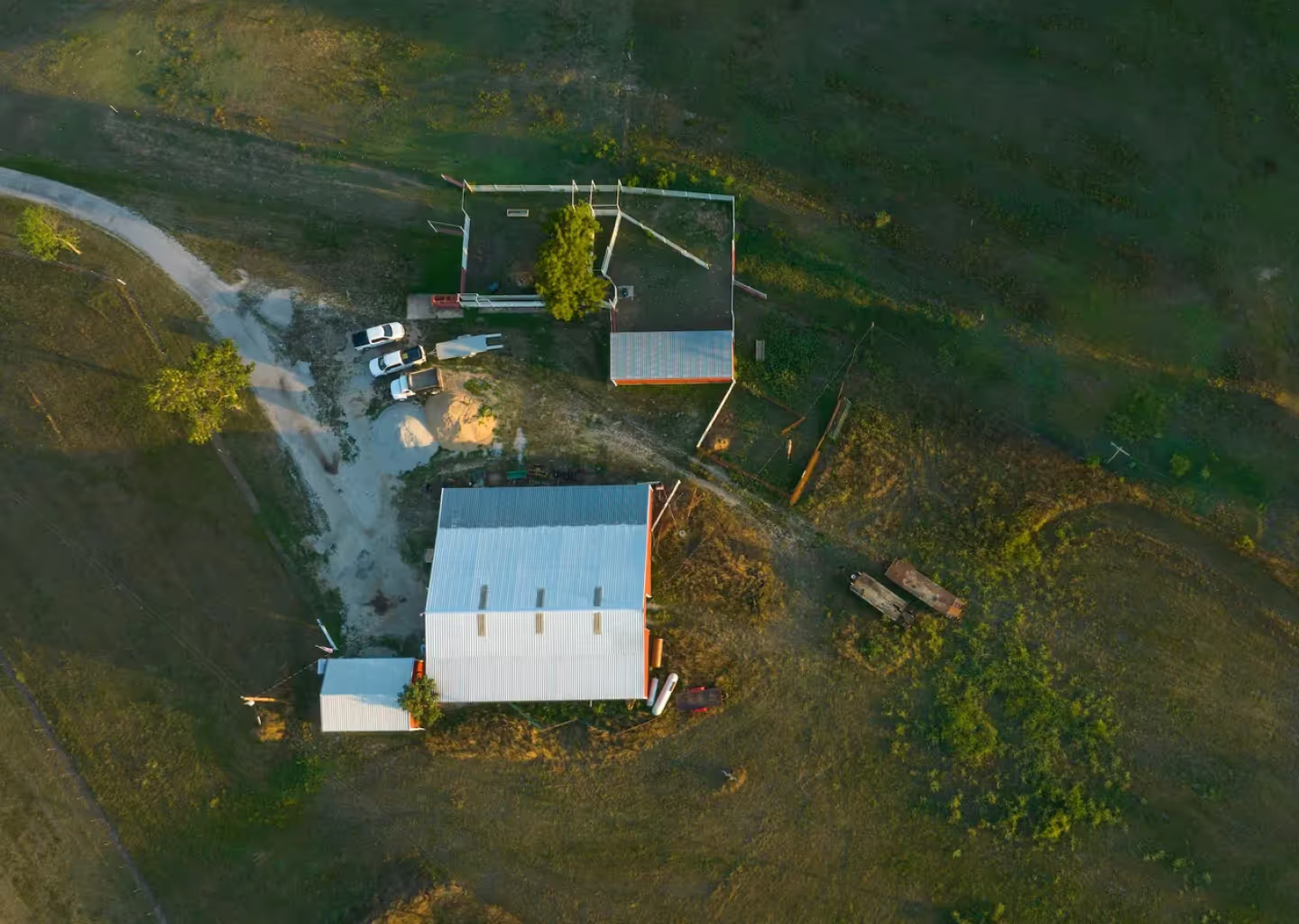
Whether you are a developer, investor, real estate agent, or anyone interested in land, having accessible property data and easy-to-use GIS mapping tools can be an excellent resource to you and your neighbors. Efficiently plan park & recreational spaces, discover in-depth property data, track tree species and more with Land id®. We strive to provide a user-friendly interface that enables professionals to visualize, analyze, and share spatial data with their communities.
Experience powerful, accessible GIS mapping tools for creating maps that benefit both residents and visitors to your community alike. Our product allows users to plot out trails, add historical or geographic points of interest, embed photos, videos, and 360 panoramic views, and further customize maps with relevant icons and labels. With our user-friendly interface and intuitive design, anyone can create a comprehensive map in just a few clicks.
The Post Canyon Bicycle Trail Map created with Land id® can be used to showcase the natural beauty of an area, highlight popular routes and trails, and provide useful information to cyclists of all levels. Making these maps available to both locals and tourists helps to promote healthy lifestyles, encourage outdoor activities, and foster a greater sense of community.
Another great way that Land id® can be a useful tool for your neighborhood, is for identifying suitable areas for public and private campsites. Annotate maps with Icons to mark the locations of tents, fire pits, and other essential amenities, while considering environmental factors such as tree coverage and water sources. Access 20+ basemaps and overlays, and generate a soil report to gain a more comprehensive understanding of your community’s natural resources. Ensure that visitors and campers are able to navigate your community with ease and enjoy all that your newly mapped campsite has to offer!
FAQs
Continue Reading


.jpeg)

