

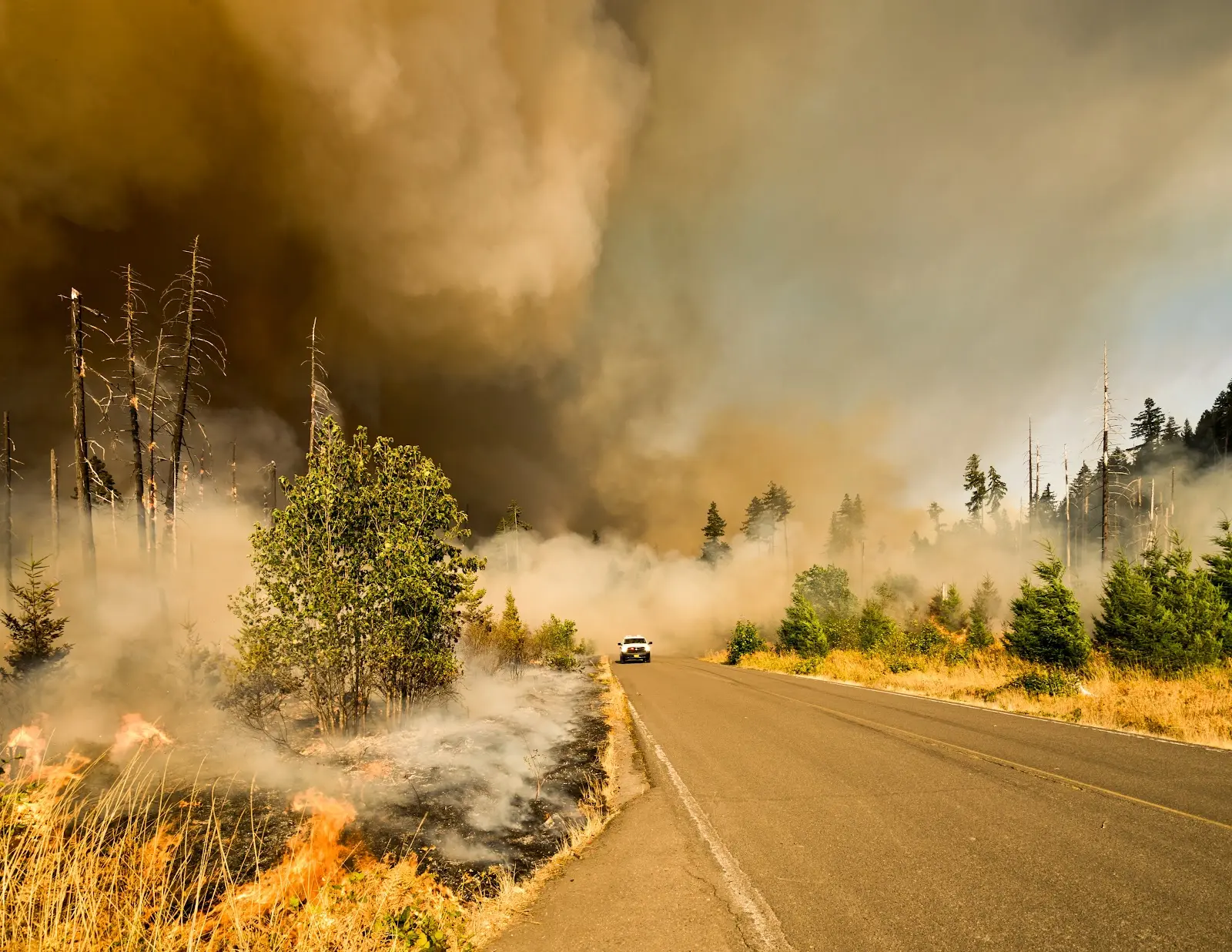
Wildfires are one of the most devastating natural disasters known to man. In 2021 alone, we saw 58,985 fires and 7,100,000 acres of land destroyed in the US. As society continues to grow and expand, the risks from wildfires increase dramatically, especially in areas that have historically been prone to them, such as the western United States.
Thankfully, wildfire response has advanced significantly over the past few decades with new technology and techniques constantly improving. Rather than spending billions of dollars to suppress wildfires, experts are employing a new approach: prevention and rehabilitation. They're using geographic information systems (GIS) to implement this strategy.
The Role of GIS in Wildfire Prevention
GIS can be used throughout the stages of wildfire prevention, providing a single platform to integrate different datasets together and allow them to be visually analyzed. Whereas in the past, professionals would have to juggle multiple pieces of information such as aerial photos, paper maps, and ecological data, GIS allows them to see everything together in one place, allowing them to make more accurate decisions.
Mitigation
Various kinds of data about forests can be collected and analyzed using GIS, including land cover, topography, soils, vegetation, and human activity such as campgrounds, electrical infrastructure, or roads and trails. By considering this information, a fire prevention plan can be developed. A fire prevention plan should:
- Identify and prioritize areas at risk of wildfire
- Predict the likelihood of a forest fire occurring
- Recommend the most appropriate fire prevention methods
With a plan in place, it's much easier for communities and firefighting agencies to prepare for the future by clearing vegetation, allocating resources, identifying roads and other key infrastructure, and educating residents.
Response
Fire prevention efforts can only do so much, though, and sometimes wildfires still occur. When a wildfire starts, firefighters use GIS to quickly create a map of the area, complete with the many different types of data they need such as plant cover, thermal imagery, topography, weather conditions, and more. This helps them broadly establish situational awareness across the firefighting teams and collaborate to develop a response strategy.
GIS can also go out with them when they’re on the ground fighting the fire. GIS apps are easily accessible from a tablet or smartphone, giving firefighters real-time information on fire location, access points, terrain and vegetation type, evacuation routes, potential hazards, jurisdiction, and more.
Rehabilitation
After a fire has been successfully extinguished, the work of assessing the damage and recovering begins. With the help of GIS, firefighters are able to conduct damage assessments much faster and determine rehabilitation requirements. These applications are particularly useful in collecting, analyzing, and displaying various types of post-incident data including damaged structures, the status of utilities and utility infrastructure, the condition of the landscape, and what impact the fire has had on natural resources. Personnel can even attach photos and videos to points on the map for easy reference.
Once the map is complete with all necessary data, it’s easy to share it with other agencies and organizations. It can even be utilized throughout the disaster funding request process.
Prepare for a Wildfire With Land id®
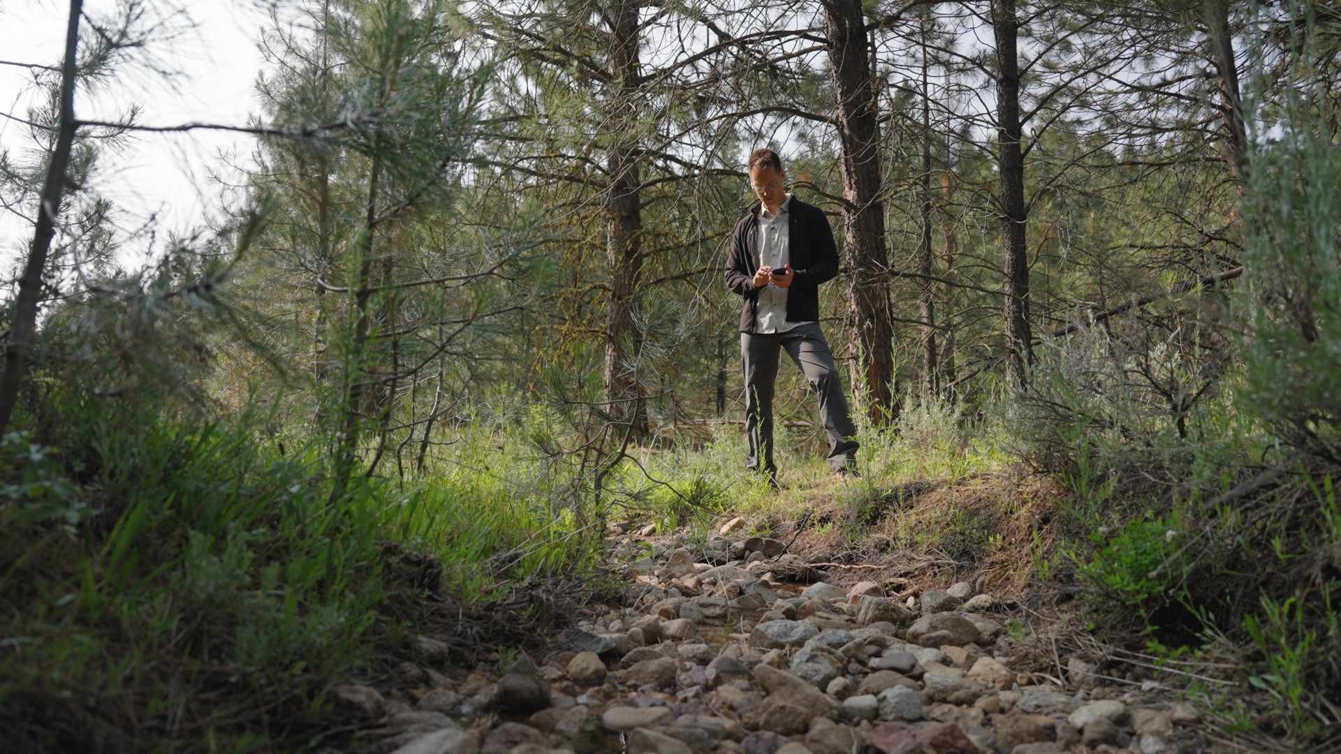
First responders, fire management professionals, and agency administrators all use GIS applications to streamline fire prevention and recovery efforts, but property owners can utilize these same tactics on their own, too. Land id® (formerly MapRight) provides our users with an easy-to-use GIS system that consolidates data sources, making it simple to view plant cover, elevation, natural resources, infrastructure, soil makeup, and more all in one place. You can even take our mobile app with you as you travel the property, tracking your route and attaching images to your current location.
The first step to fire management is gaining an understanding of the risks your land faces, and with Land id®, assessing land has never been easier. Sign up for our 7-day free trial today to get started!
FAQs
Continue Reading
Craig Rowe
5 Real-World Land id Workflows Worth Borrowing
.png)
By Land id
See helpful examples of how real estate pros use Land id to win listings, market properties, plan developments, and make smarter data-driven decisions.
Alyssa Toohey
Off the Map & In Person: The Land id Team Gets Together

By Land id
The Land id team came together in Montana for collaboration, connection, Big Sky views, PBR, Yellowstone, and plenty of memorable moments.


Explore Private Parcel Data & Property Boundaries
Download the Land id app and try for free.
